Search Constraints
Search Results

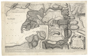
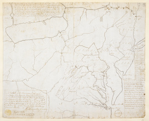
11802. Fort Edward

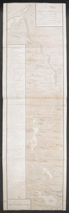
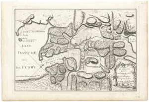
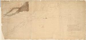
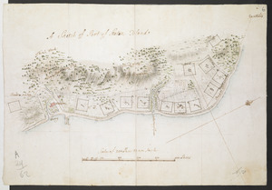
11803. Fort Edward to Crown Point


![[Map showing Fort William Henry, Fort Carillon, Fort St Frederic, and the upper reaches of the Connecticut River]](https://bpldcassets.blob.core.windows.net/derivatives/images/commonwealth:hx11z1735/image_thumbnail_300.jpg)
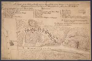
![[Monongahela] no. 2 : a sketch of the field of battle &c, shewing the disposition of the troops about 2 o'clock when the whole of the main body had joined the advanced and working partys then beat back from the ground they occupied as in plan no. 1](https://bpldcassets.blob.core.windows.net/derivatives/images/commonwealth:j3863670v/image_thumbnail_300.jpg)


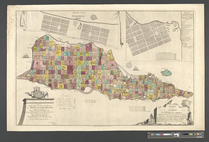
11848. Plan de Boston

11849. Plan de Boston

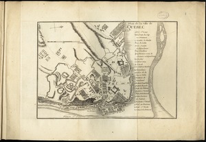
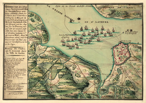
11851. Plan de la ville de Quebec

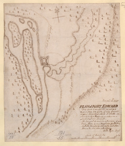
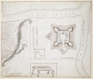
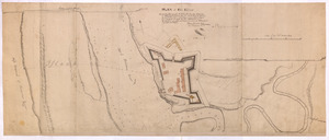
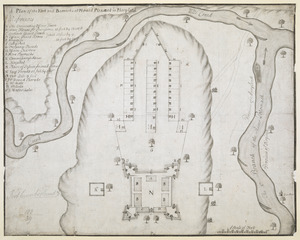
11854. PLAN of FORT EDWARD
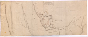
11855. PLAN of Fort Edward
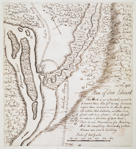
11856. PLAN of Fort EDWARD
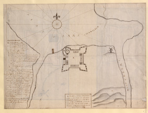
11857. Plan of Fort Edward

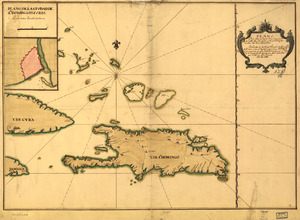

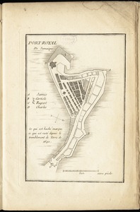
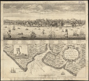
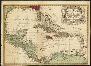
11868. Port-Royal de Jamaique
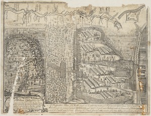

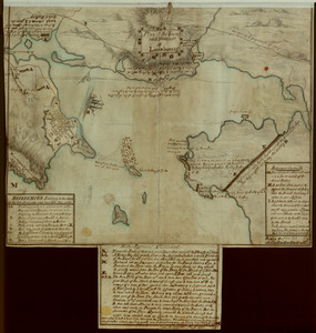
![S[i]r: This is minuts of the fort at Crown Point and of the redouts built round it; which I took on the mountain to the west of Crown Point abt. a miles distance](https://bpldcassets.blob.core.windows.net/derivatives/images/commonwealth:q524nd85w/image_thumbnail_300.jpg)

![Vera-Cruz dans le Golfe du Méxique [and] Isle St. Juan, Fort de St. Jean d'Ulloa](https://bpldcassets.blob.core.windows.net/derivatives/images/commonwealth:cj82kx24p/image_thumbnail_300.jpg)


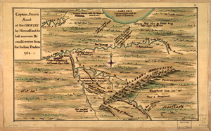
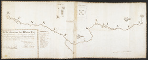
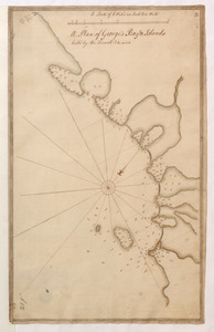
11881. Captain Snow's sketch
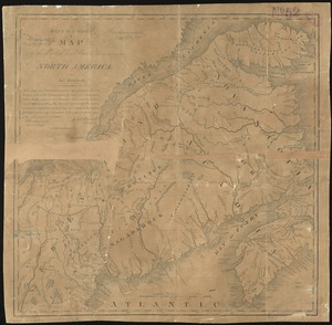
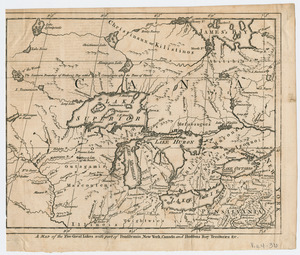
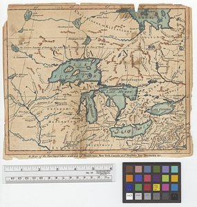
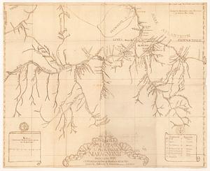
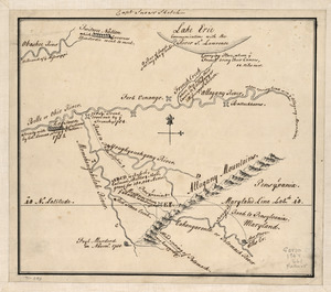
![Geographick scetch [sic], 1754](https://bpldcassets.blob.core.windows.net/derivatives/metadata/commonwealth-oai:pk02h894n/image_thumbnail_300.jpg)