Search Constraints
Search Results


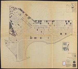
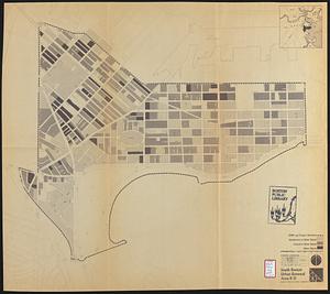
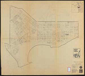
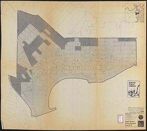
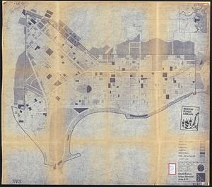
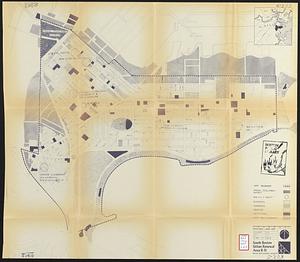
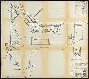
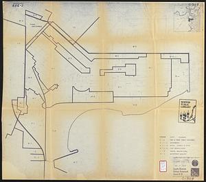
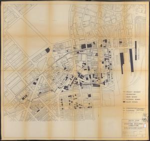
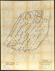
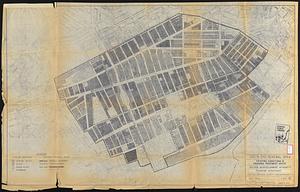
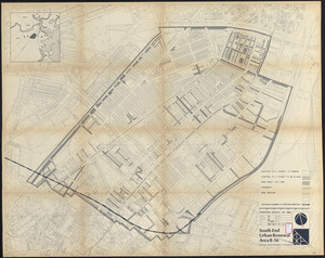
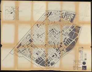
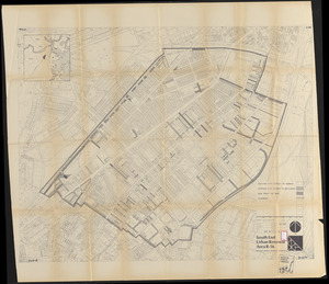
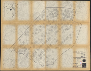
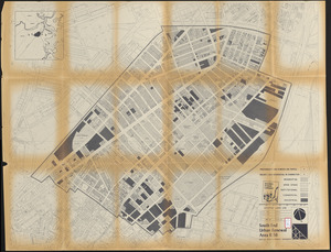
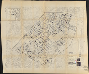
11704. South Boston


11725. South Carolina


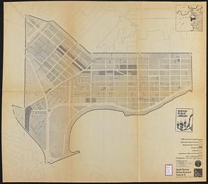
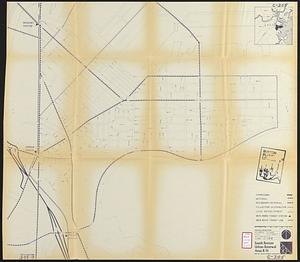
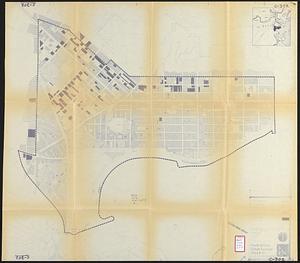
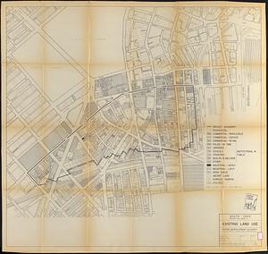
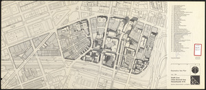
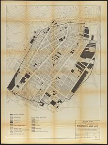
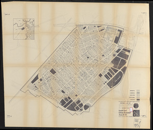
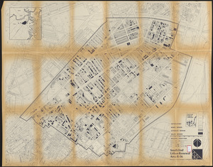
11730. South Cove, in Boston


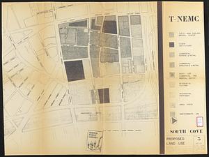
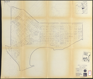
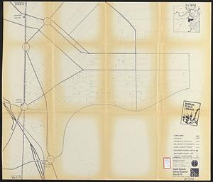
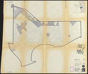
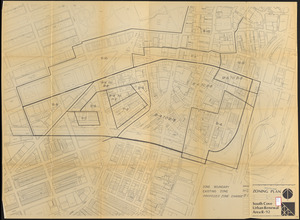
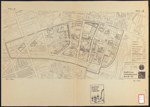
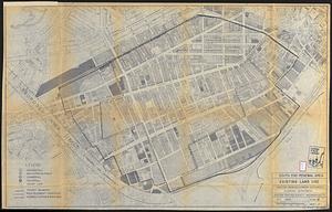
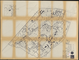
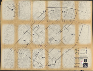
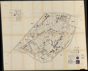
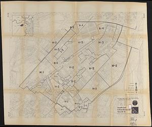
11737. South Cove proposed land use


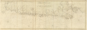


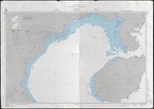
11748. South end of Lake Michigan


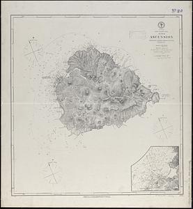
11788. South Italy

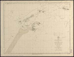
11789. South Manchuria


