Search Constraints
Search Results
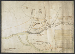
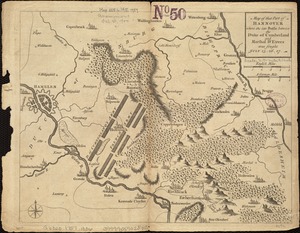
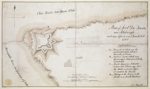
11601. FORT BEDFORD
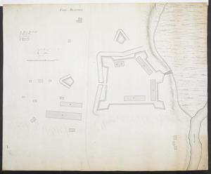
11602. FORT BEDFORD
![[Fort Bedford, on the Juniata Creek]](https://bpldcassets.blob.core.windows.net/derivatives/images/commonwealth:hx11z402t/image_thumbnail_300.jpg)
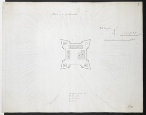
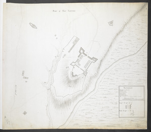
11604. FORT LITTLETON
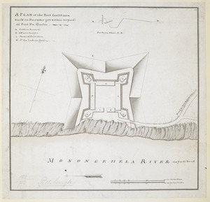
![[Fort Pitt]](https://bpldcassets.blob.core.windows.net/derivatives/images/commonwealth:hx11xz65w/image_thumbnail_300.jpg)
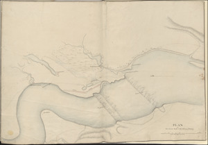
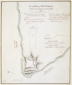
11605. [Fort Pitt]

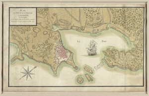
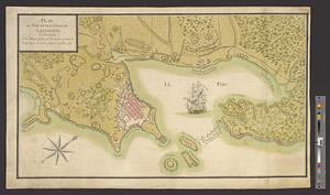
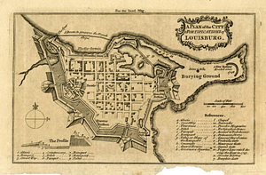
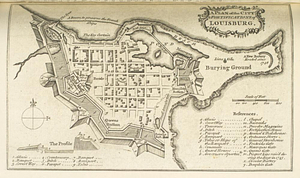
11606. Gabarus Bay

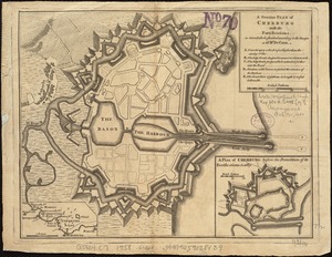


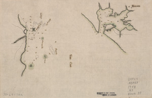
11611. Havana : Vera Cruz


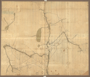
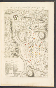
![[Map showing rivers and forts in North America]](https://bpldcassets.blob.core.windows.net/derivatives/images/commonwealth:hx11z163x/image_thumbnail_300.jpg)


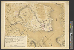
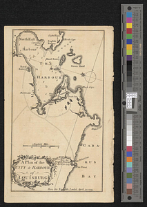
![[Plan de Louisburgh, et partie de la baye de Gabarus]](https://bpldcassets.blob.core.windows.net/derivatives/images/commonwealth:hx11z045s/image_thumbnail_300.jpg)
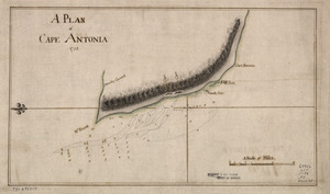
11631. A Plan of Cape Antonia
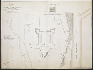
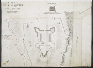
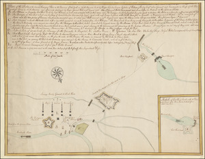
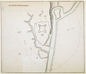
11633. PLAN of FORT LIGONIER


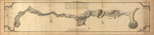
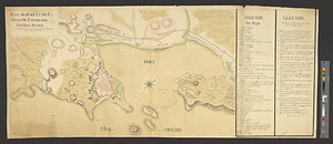
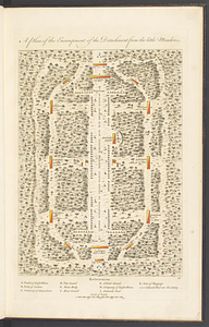
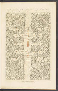
![Plan of the encampment, intrenchment with theier [sic] environs at Lake George](https://bpldcassets.blob.core.windows.net/derivatives/metadata/commonwealth-oai:v9800134b/image_thumbnail_300.jpg)

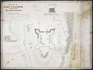
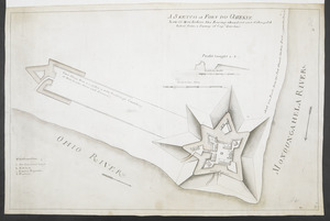
11662. Rough PLAN of FORT LIGONIER


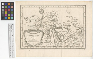
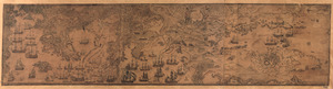
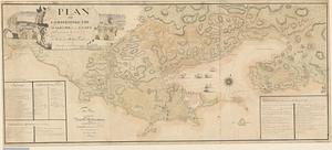
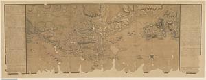
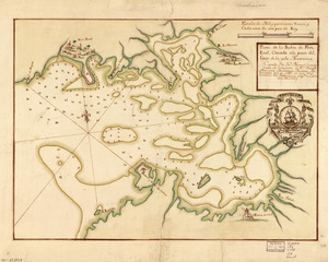
11671. L'Amérique septentrionale