Toggle navigation
LMEC Home
Exhibitions
Georeferencing
Tools for Teachers
Collections
My Favorites
Sign Up / Log In
Search
Search the map portal
Map Collection
Map Collection
Map Sets
Search
Search
Search for
Search In
All Fields
Creator
Title
Subject
Place
Search All Digital Collections
Advanced Search
13385 Results
Filter your Search
Place
North and Central America
9,353
United States
7,078
Suffolk (county)
1,664
Boston
1,621
Europe
1,035
Canada
949
Massachusetts
794
New York
532
more
Place
»
Topic
Boston (Mass.)--Maps
741
City planning--Massachusetts--Boston--Maps
418
United States--History--Revolution, 1775-1783--Maps
329
United States--Maps
315
Urban renewal--Massachusetts--Boston--Maps
254
Real property--Massachusetts--Boston--Maps
252
Massachusetts--Maps
219
Insurance surveys
197
more
Topic
»
Date
Date range begin
–
Date range end
Current results range from
1482
to
2023
View distribution
Creator
United States. Hydrographic Office
595
Boston Redevelopment Authority
403
Des Barres, Joseph F. W. (Joseph Frederick Wallet), 1722-1824
247
Royal United Services Institute for Defence and Security Studies
160
Jefferys, Thomas, -1771
154
George, III, King of Great Britain, 1738-1820
152
George, IV, King of Great Britain, 1762-1830
151
O.H. Bailey & Co
148
more
Creator
»
Format
Maps/Atlases
13,205
Manuscripts
985
Prints
102
Books
49
Drawings/Illustrations
44
Photographs
15
Objects/Artifacts
13
Documents
7
more
Format
»
Georeferenced
Yes
979
No
12,406
Collection
Norman B. Leventhal Map Center Collection
8,891
American Revolutionary War-Era Maps
3,305
Boston and New England Maps
2,804
Urban Maps
2,397
Maritime Charts and Atlases
1,150
William L. Clements Library Collection
910
Library of Congress Collection
618
Boston Redevelopment Authority Collection
475
more
Collection
»
Available to use
No known restrictions
9,952
Creative Commons license
1,677
Search Constraints
Sort by date (asc)
relevance
title
date (asc)
date (desc)
Number of results to display per page
100 per page
10
per page
20
per page
50
per page
100
per page
View results as:
grid view
map view
Search Results
11401.
Southern Vancouver Island, British Columbia
11402.
Street railways of Boston and vicinity Jan. 1914
11403.
Sydney coal field
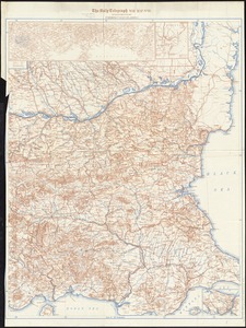
11404.
Topographic map of Clinton County, Illinois
11405.
Topographic map of Monroe County, Illinois
11406.
Turkey
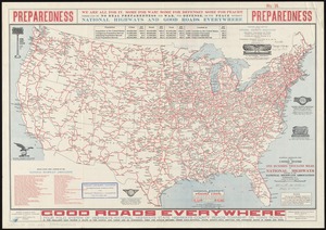
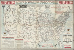
11407.
United States
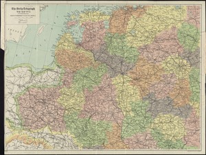
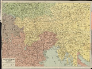
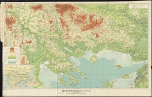
11408.
The Wonderground map of London town
11409.
Alberta, southern : map showing disposition of lands
11410.
Atlas of the city of Boston : Roxbury
11411.
Atlas of the city of Boston : Roxbury : from actual surveys and official plans
11412.
The Balkans
11413.
Bangor & Aroostook Railroad and connections : including northern Maine hunting and fishing region
11414.
Boston Elevated Railway track lengths of surface lines and subway
11415.
Boston to Nantasket Beach and Plymouth
11416.
Buenos Aires
11417.
Canadian Rockies showing main line of Canadian Pacific Ry. with branch lines & steamship connections
11418.
Carta geral do estado de S. Paulo : com indicações sobre agricultura, comercio, instrucção publica, industria e colonisação
11419.
The Daily Telegraph gazetteer war map (no. 4)
11420.
The Daily Telegraph war map no. 11
11421.
The Daily Telegraph war map no. 12
11422.
The Daily Telegraph war map no. 17
11423.
The Daily Telegraph war map no. 2
11424.
The Daily Telegraph war map no. 3
11425.
The Daily Telegraph war map no. 7
11426.
The Daily Telegraph war map no. 8
11427.
The Daily Telegraph war map no. 9
11428.
The Daily Telegraph war map of Europe (no. 1)
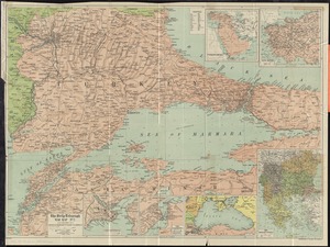
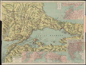
11429.
Danube to India
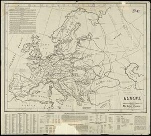
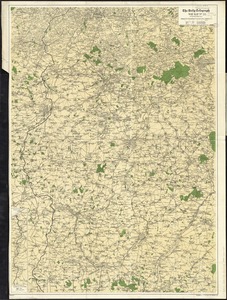
11430.
The Egyptian gazette war map no. 3
11431.
Europe
11432.
The Fred'k A. Schmidt Co. map of metropolitan Cincinnati
11433.
Hammond's new road map of western Massachusetts
11434.
Hodgman's new map showing location and classification golf and country clubs of New England with automobile roads and distances
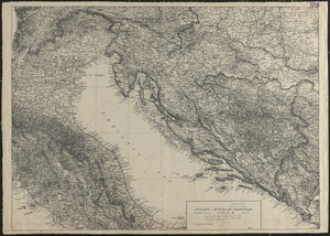
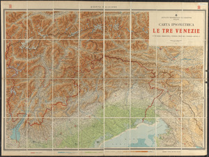
11435.
Italian-Austrian frontier
11436.
Manitoba : map showing disposition of lands
11437.
Map of Manitoba
11438.
Map of Manitoba, Saskatchewan and Alberta : showing the number of quarter-sections available for homestead entry in each...
11439.
Map of Providence, Rhode Island
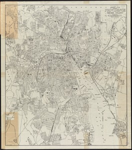
11440.
Map of St. Paul
11441.
Map of the Bering River Coal Field : showing distribution of the various kinds of coal and location of the coal sections and...
11442.
Map of the borough of Princeton, Mercer County, New Jersey
11443.
Map of the Boston Elevated Ry. 1915
11444.
Map of the cities of Albany and Rensselaer, New York
11445.
Map of the City of Syracuse, New York
11446.
Map showing elevators in Manitoba, Saskatchewan and Alberta
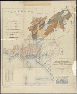
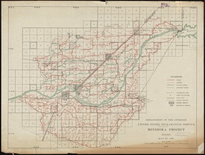
11447.
Minidoka Project, Idaho
11448.
National highways map of the United States showing one hundred thousand miles of national highways proposed by the National...
11449.
National highways map of the United States showing principal transcontinental highways and connecting system of one hundred...
11450.
National map of New England states Vermont, New Hampshire, Massachusetts, Connecticut, Rhode Island and Maine showing counties...
11451.
[Plan of part of Boston bounded by Eliot, Washington, and Pleasant streets showing landownership in the late 17th century]
11452.
Strategic map of Central Europe showing the international frontiers
11453.
Topographic map of Massachusetts and Rhode Island
11454.
Turkish-Allies operations, European war
11455.
The United States : a map showing commercial, educational and travel features
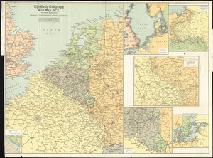
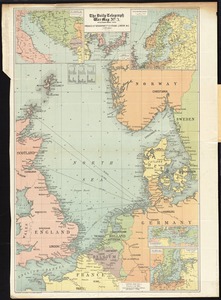
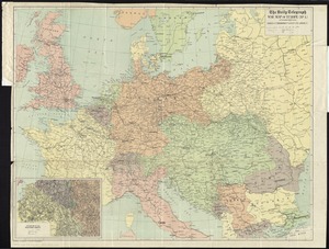
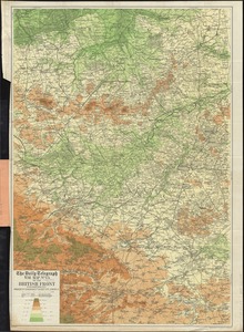
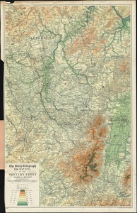
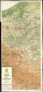
11456.
Western theatre-European war
11457.
White Mountain region, New Hampshire : showing lands being acquired by the United States
11458.
Wright's map of La Crosse
11459.
Aero view of Lynn, Mass, 1916 : looking north
11460.
Atlas of the city of Boston : wards 25 and 26, Brighton
11461.
Atlas of the city of Boston : wards 25 & 26, Brighton : from actual surveys and official plans
11462.
Atlas of the city of Cambridge, Massachusetts : from actual surveys and official plans
11463.
Atlas of the city of Cambridge, Massachusetts
11464.
Austria-Russian operations, European war
11465.
Carpathes - Roumanie - Balkans
11466.
Carta ipsometrica le tre Venezie : Venezia tridentina - Venezia Propria - Venezia Giulia
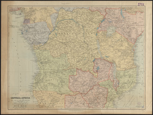
11467.
Central Africa
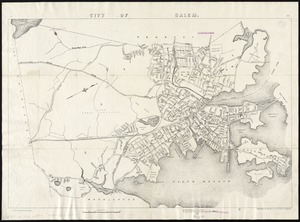
11468.
City of Salem
11469.
The Daily Telegraph war map no. 13 of the British front
11470.
The Daily Telegraph war map no. 14 : of the western front, Arras to Nancy
11471.
The Daily Telegraph war map no. 15 : of the western front, Verdun to Belfort
11472.
The Daily Telegraph war map no. 16
11473.
The Daily Telegraph war map no. 19
11474.
The Daily Telegraph war map no. 20
11475.
The Daily Telegraph war map no. 21 : of the Belgian and British fronts
11476.
The Daily telegraph war map no. 22
11477.
The Daily Telegraph war map of eastern Europe (no. 5)
11478.
The Daily Telegraph war map of Egypt and the Near East (No. 6)
11479.
Dobroudja Campaigne, Oct. 1916 : Volhynie Campaigne, Oct. 1916 ; Izonzo Campaigne, Oct. 1916
11480.
Flamm's new map of Baltimore and vicinity
11481.
Guerre d'orient, Balkans, Asie Mineure, Perse
11482.
Hammond's comprehensive map of the United States with portions of Canada and Mexico
11483.
Insurance maps of Stoneham, Middlesex Co., Massachusetts
11484.
Insurance maps of Watertown, Middlesex County, Massachusetts
11485.
Insurance maps of Winchester, Middlesex County, Massachusetts
11486.
[Map of Ecuador]
11487.
Map of Keene including the original boundaries of upper Ashuelot
11488.
Map of Taunton
11489.
Map of the city of Keene, from recent surveys
11490.
Map showing metropolitan water district, Wachusett, Sudbury and Cochituate watersheds and locations of reservoirs, aqueducts...
11491.
Mapa comercial de la república de Peru
11492.
The Matthews-Northrup up-to-date map of Buffalo and Towns of Tonawanda, Amherst, Cheektowaga and West Seneca
11493.
The Matthews-Northrup up-to-date map of Buffalo and towns of Tonawanda, Amherst, Cheektowaga and West Seneca
11494.
Milk River Irrigation Project, Montana
11495.
National topographic map of Massachusetts and Rhode Island : showing counties, townships, cities, villages and post offices ......
11496.
Richard Mayer's commercial map of the republic of Paraguay
11497.
Steam railroads in Boston 1888
11498.
Supplementary map to the "Daily Telegraph" war map no. 13
11499.
Topographic map of Gallatin County, Illinois
11500.
Tracks operated by the Boston Elevated Railway Company January 1916
‹ Prev
Next ›
1
2
…
111
112
113
114
115
116
117
118
119
…
133
134