Search Constraints
Search Results
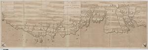
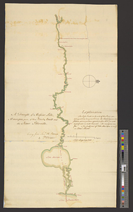
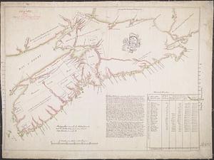
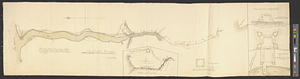
![Chart of the sea coast from latitude 27⁰00ʹ00ʺ to 27⁰20ʹ00ʺ, with Little Inlet & River into Hillsborough River ; Chart of the sea coast from latitude 26⁰40ʹ00ʺ to [27⁰]00ʹ00ʺ, the Leech Shoal & Hillsborough River](https://bpldcassets.blob.core.windows.net/derivatives/images/commonwealth:q524nd97p/image_thumbnail_300.jpg)


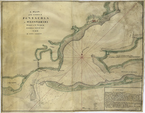
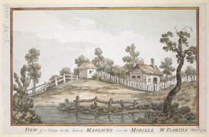
11115. Pensacola
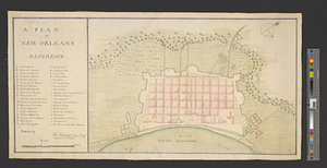
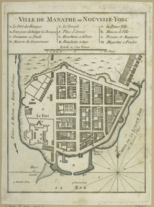
11116. A plan of New Orleans
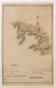
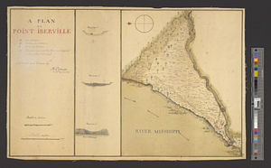
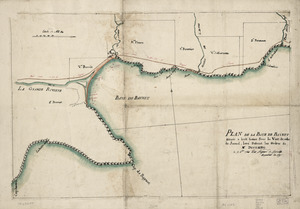
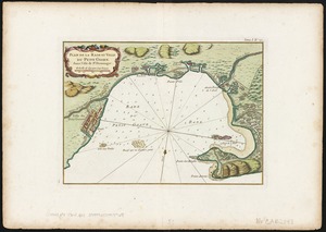
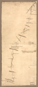
11119. A plan of Point Ibberville


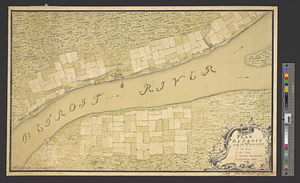
11126. Post road & Kaskutahook


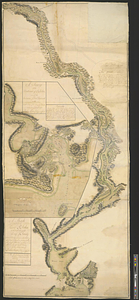
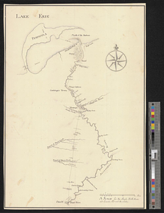
![[A coloured chart of the upper part of Lake Erie at Fort Erie and a detailed plan of Fort Erie, together with three cross sectional drawings]](https://bpldcassets.blob.core.windows.net/derivatives/images/commonwealth:hx11z482r/image_thumbnail_300.jpg)


11139. Amerique Septentrionale


11149. Evêché de Dijon

11150. Fort Pitt


11154. La Nouvelle France ou Canada
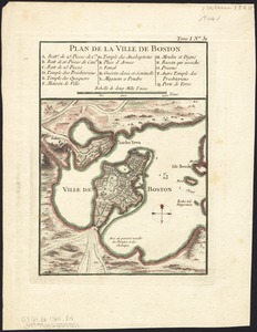
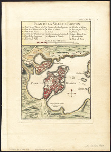
11159. Plan de la ville de Boston
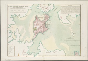
11160. Plan de la ville de Boston

11161. Plan de la ville de Boston

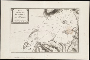
11162. Plan de la ville de Quebec


11183. Canada


11189. Fort Bedford


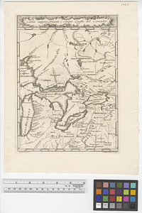
![[Map of Spanish Louisiana and the American colonies]](https://bpldcassets.blob.core.windows.net/derivatives/images/commonwealth:z603vq85r/image_thumbnail_300.jpg)
![[Map of Spanish Louisiana and the American colonies]](https://bpldcassets.blob.core.windows.net/derivatives/images/commonwealth:z603vp210/image_thumbnail_300.jpg)