Search Constraints
Search Results


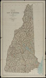
11012. Relief map of New Hampshire

11013. Relief map of New Jersey


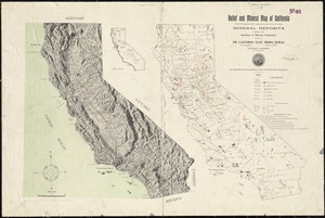
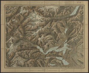
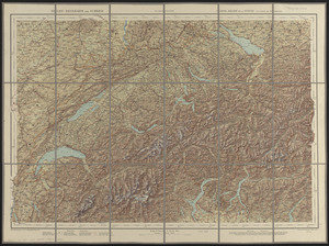
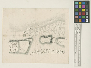
11016. Relief practice map
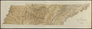
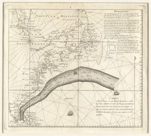
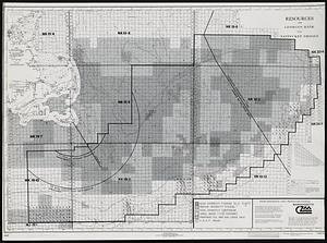
11019. Remarks


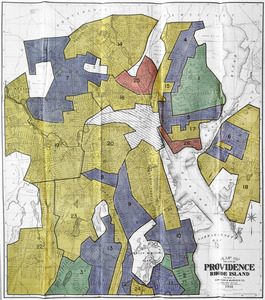


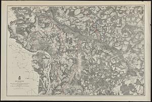
11067. Rhode Island

11068. Rhode Island

11069. Rhode Island
![Richard Borden Mills Corp., Fall River, Mass. [insurance map]](https://bpldcassets.blob.core.windows.net/derivatives/images/commonwealth:4j03df49v/image_thumbnail_300.jpg)


![Richards standard atlas of the city of Springfield and the town of Longmeadow, Massachusetts [plate 1]](https://bpldcassets.blob.core.windows.net/derivatives/images/commonwealth:3f463814r/image_thumbnail_300.jpg)
![Richards standard atlas of the city of Springfield and the town of Longmeadow, Massachusetts [plate 10]](https://bpldcassets.blob.core.windows.net/derivatives/images/commonwealth:3f463818v/image_thumbnail_300.jpg)
![Richards standard atlas of the city of Springfield and the town of Longmeadow, Massachusetts [plate 9]](https://bpldcassets.blob.core.windows.net/derivatives/images/commonwealth:3f4638169/image_thumbnail_300.jpg)
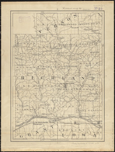
11089. Richland County, Wis.
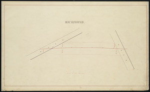
11090. Richmond
11091. Richmond
11092. Richmond


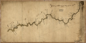
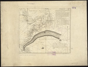
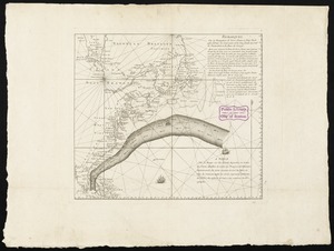
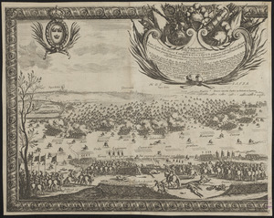
11097. River of Ohio

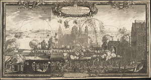
11098. River S Claire
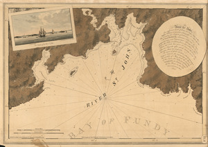
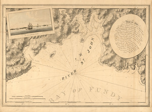
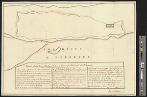
11099. The river St. John