Search Constraints
Search Results


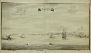
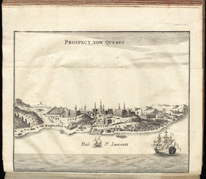
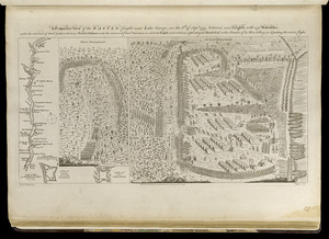
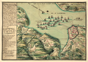
10811. Prospect von Quebec
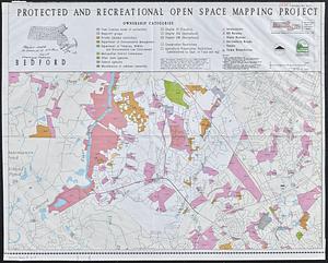

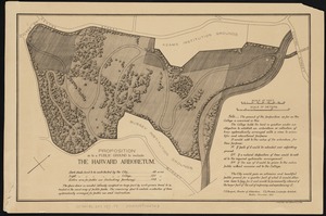
10816. DEM protected open space
10817. Providence and Newport
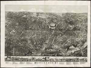
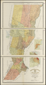
10818. Providence, R.I


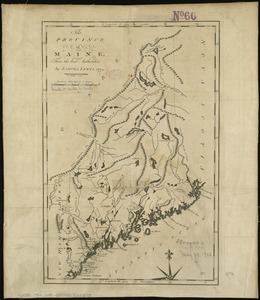
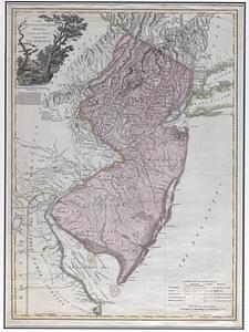
10821. Province of Maine


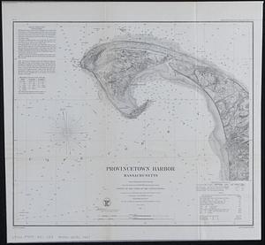
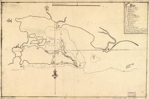
10837. Provincetown Harbor
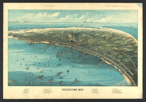
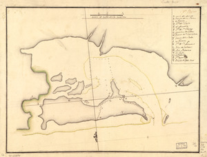
10839. Provincetown, Mass
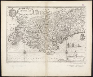
10840. Provincia = Provence


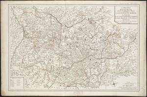
10843. Prussia

10844. Prussia
10845. Pto. Rico
10846. Pto. Rico


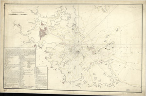
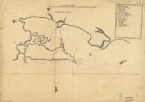
10857. Puerto del Boston
10858. Puerto Rico


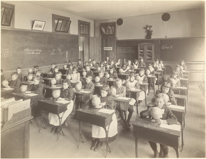
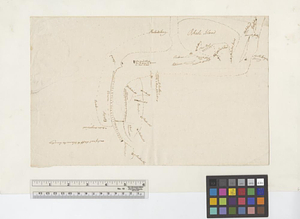
10861. Putman School, 6th Grade
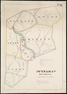
10862. Putnam Co., West Virginia
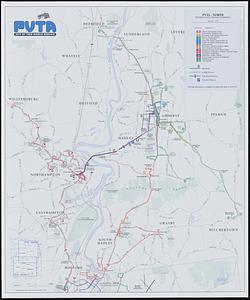
10864. PVTA bus map & guide


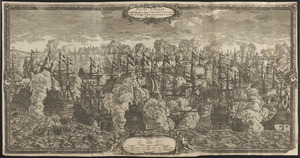
10866. P.W.A. in action

10867. PWA rebuilds the nation
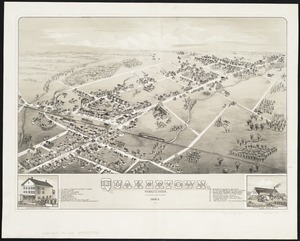
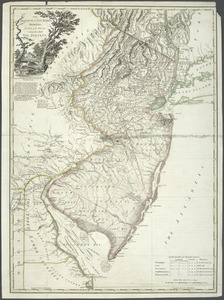
10868. Quakertown : Pennsylvania
![Quam hic vides orbis imagine[m] lector ca[n]dide ea[m] ut posteriore[m] ita & eme[n]datiorem ijs que hactenus circu[m]ferebantur esse America sarmatiaq[ue] ac India testantur ... lemei expectato vale](https://bpldcassets.blob.core.windows.net/derivatives/images/commonwealth:3f463b69r/image_thumbnail_300.jpg)

10870. Quarta Africae tabula

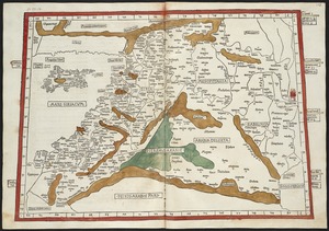
10871. Quarta Asiae tabula

10874. Quarta Europae tabula


10876. Quarte partie du monde
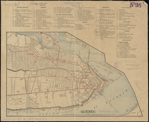
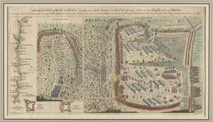
10879. Quebec
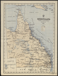
10880. Queensland
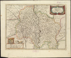
10881. Quercy : Cadurcium
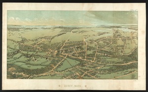
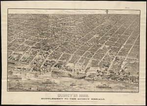
10882. Quincy, Mass
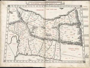
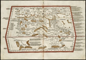
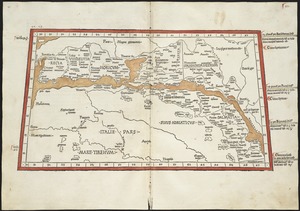
10883. Quinta Asiae tabula
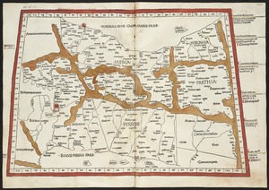
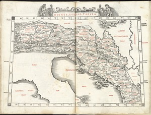
10885. Quinta Europae tabula

10888. The races of Europe