Toggle navigation
LMEC Home
Exhibitions
Georeferencing
Tools for Teachers
Collections
My Favorites
Sign Up / Log In
Search
Search the map portal
Map Collection
Map Collection
Map Sets
Search
Search
Search for
Search In
All Fields
Creator
Title
Subject
Place
Search All Digital Collections
Advanced Search
13385 Results
Filter your Search
Place
North and Central America
9,353
United States
7,078
Suffolk (county)
1,664
Boston
1,621
Europe
1,035
Canada
949
Massachusetts
794
New York
532
more
Place
»
Topic
Boston (Mass.)--Maps
741
City planning--Massachusetts--Boston--Maps
418
United States--History--Revolution, 1775-1783--Maps
329
United States--Maps
315
Urban renewal--Massachusetts--Boston--Maps
254
Real property--Massachusetts--Boston--Maps
252
Massachusetts--Maps
219
Insurance surveys
197
more
Topic
»
Date
Date range begin
–
Date range end
Current results range from
1482
to
2023
View distribution
Creator
United States. Hydrographic Office
595
Boston Redevelopment Authority
403
Des Barres, Joseph F. W. (Joseph Frederick Wallet), 1722-1824
247
Royal United Services Institute for Defence and Security Studies
160
Jefferys, Thomas, -1771
154
George, III, King of Great Britain, 1738-1820
152
George, IV, King of Great Britain, 1762-1830
151
O.H. Bailey & Co
148
more
Creator
»
Format
Maps/Atlases
13,205
Manuscripts
985
Prints
102
Books
49
Drawings/Illustrations
44
Photographs
15
Objects/Artifacts
13
Documents
7
more
Format
»
Georeferenced
Yes
979
No
12,406
Collection
Norman B. Leventhal Map Center Collection
8,891
American Revolutionary War-Era Maps
3,305
Boston and New England Maps
2,804
Urban Maps
2,397
Maritime Charts and Atlases
1,150
William L. Clements Library Collection
910
Library of Congress Collection
618
Boston Redevelopment Authority Collection
475
more
Collection
»
Available to use
No known restrictions
9,952
Creative Commons license
1,677
Search Constraints
Sort by relevance
relevance
title
date (asc)
date (desc)
Number of results to display per page
100 per page
10
per page
20
per page
50
per page
100
per page
View results as:
grid view
map view
Search Results
10201.
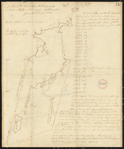
Plan of West Stockbridge made by B. H. Lewis, dated 1831
10202.
Plan of West Stockbridge surveyed by David Fairchild, dated October, 1794.
10203.
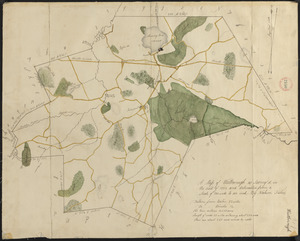
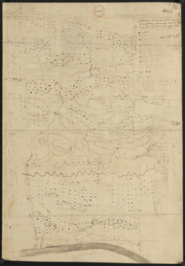
Plan of Westborough made by Nahum Fisher, dated 1830
10204.
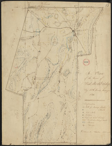
Plan of Westborough surveyed by Nathan Fisher, dated October, 1794.
10205.
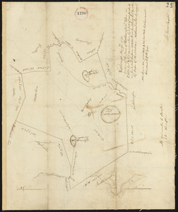
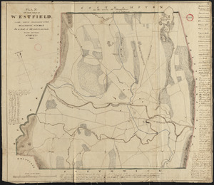
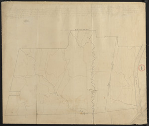
Plan of Westfield made by Allen, D. E., dated 1831
10206.
Plan of Westfield, surveyor's name not given, dated November 1794.
10207.
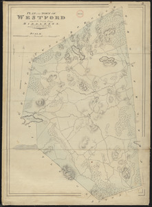
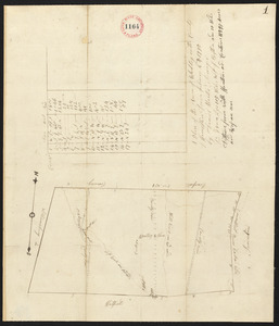
Plan of Westford made by John G. Hales, dated 1831
10208.
Plan of Westford, surveyor's name not given, dated May 1795.
10209.
Plan of Westhampton surveyed by Jonathan Clark, dated June 1, 1795.
10210.
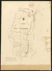
Plan of Westhampton, surveyor's name not given, dated 1831
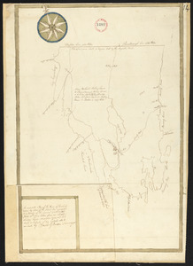
10211.
Plan of Westminster (No Town) made by Caleb Dana, dated 1838
10212.
Plan of Westminster, surveyor's name not given, dated June 1831
10213.
Plan of Westminster, surveyor's name not given, dated May 6, 1795.
10214.
Plan of Weston made by Augustus Tower, dated 1830
10215.
Plan of Weston surveyed by Jonathan Kingsbury, dated 1794-5.
10216.
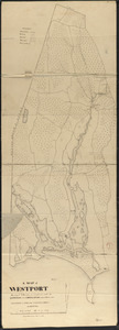
Plan of Westport made by Silvanus Bourne dated 1831
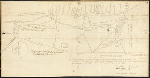
10217.
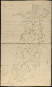
Plan of Westport surveyed by Zadock Maxfeld, dated November 1795.
10218.
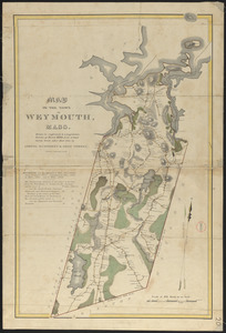
Plan of Weymouth made by Lemuel Humphrey and Noah Torrey, dated 1830
10219.
Plan of Weymouth made by Lemuel Humphrey and Noah Torrey, dated 1830
10220.
Plan of Weymouth surveyed by James Humphreys, dated May 27, 1795.
10221.
Plan of Whately made by Benjamin Cooley, dated 1830
10222.
Plan of Whately made by Benjamin Cooley, dated 1830
10223.
Plan of Whately surveyed by Daniel Mantor, dated February 4, 1795.
10224.
Plan of Wilbraham made by Aaron Bliss, dated 1830
10225.
Plan of Wilbraham, surveyor's name not given, dated May 29, 1795.
10226.
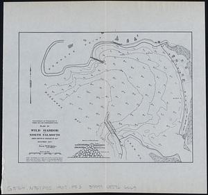
Plan of Wild Harbor at North Falmouth : under chapter 112 resolves of 1907
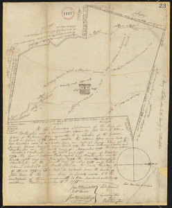
10227.
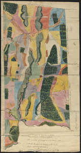
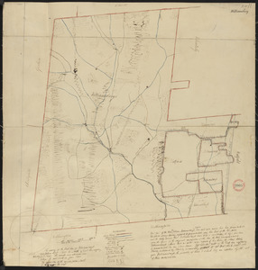
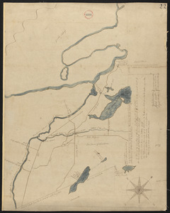
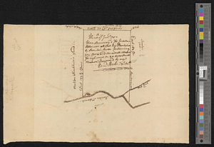
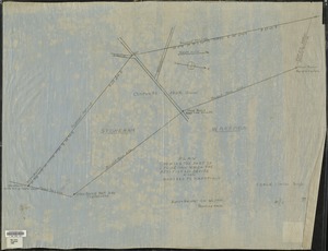
[Plan of William Jackson's farm, Newton]
10228.
Plan of Williamsburg surveyed by Nehemiah Cleveland, dated May 5, 1795.
10229.
Plan of Williamsburg, surveyor's name not given, dated June 1831
10230.
Plan of Williamstown made by John Mills, dated 1830
10231.
Plan of Williamstown, surveyor's name not given, dated November 1794.
10232.
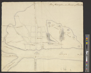
Plan of Wilmington in the province of Nth: Carolina
10233.
Plan of Wilmington made by Edmund Parker, dated October 17, 1831
10234.
Plan of Wilmington surveyed by Samuel Thompson, dated October 1794.
10235.
Plan of Winchendon made by Elias Whitney, dated January 1831
10236.
Plan of Winchendon surveyed by Moses Hale, dated May, 1795.
10237.
Plan of Windham, ME, surveyor's name not given.
10238.
Plan of Windsor made by Elias J. Baldwin, dated October 1831
10239.
Plan of Windsor surveyed by Samuel Baldwin, dated October, 1794.
10240.
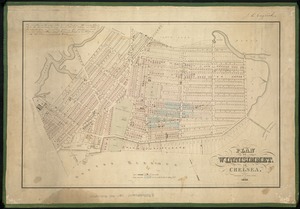
Plan of Winnisimmet, in Chelsea
10241.
Plan of Winslow, surveyor's name not given, dated May 24, 1795.
10242.
Plan of Winthrop Farm in the Town of Winthrop belonging to the City of Boston
10243.
Plan of Winthrop (Pondtown) surveyed by Ephraim Ballard and Sylvester Moore, dated April, 1795.
10244.
Plan of Woburn made by Bartholomew Richardson, dated 1831
10245.
Plan of Woburn surveyed by Samuel Thompson, dated November 1794.
10246.
Plan of Woodland Vale, in Newton, belonging to Wm. Kenrick
10247.
Plan of Woolwich surveyed by David Gilmore, dated 1794-5.
10248.
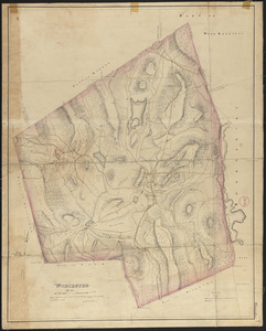
Plan of Worcester
10249.
Plan of Worcester made by H. Stebbins, dated 1831
10250.
Plan of Worcester surveyed by David Andrews and John Peirce, dated April, 1795.
10251.
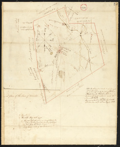
Plan of Worthington made by William Packard, dated May 20, 1831
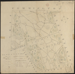
10252.
Plan of Worthington, surveyor's name not given, dated May 15, 1795.
10253.
Plan of Wrentham surveyed by Cornelius Kollock, dated January 1795.
10254.
Plan of Wrentham, surveyor's name not given, dated 1830
10255.
Plan of Yarmouth made by Benjamin Matthews, Jr., dated 1830
10256.
Plan of Yarmouth, surveyor's name not given, dated May 27, 1795.
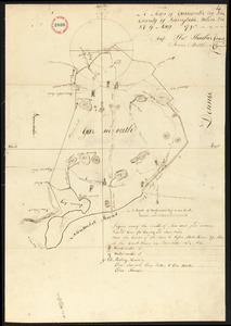
10257.
Plan of ye entrance of Pensacola harbour shewing ye situation of the new batteries laid out & begun building in March 1771
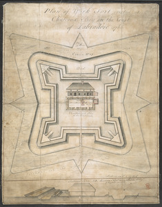
10258.
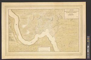
Plan of York Fort erected at Chateaux bay on the Coast of Labradore 1766
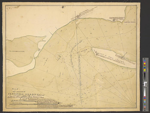
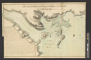
10259.
A plan of York or Chateaux Bay on the coast of Labrador with all its contain'd harbours
10260.
Plan of York surveyed by Daniel Sewall, dated 1794-5.
10261.
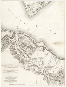
A plan of York Town and Gloucester, in the province of Virginia, shewing the works constructed for the defence of those posts...
10262.
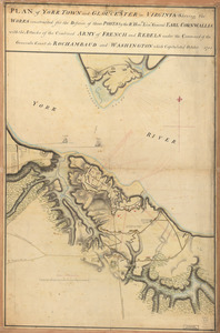
Plan of York Town and Gloucester in Virginia : shewing the works constructed for the defence of those posts by the Rt. Honble:...
10263.
Plan of Zisapata Bay ; Plan of the harbour of Carthagena
10264.
Plan or map showing the laying out of Rail Road Street
10265.
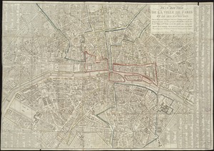
Plan pittoresque de la ville de Paris
10266.
Plan presented to the honble. the State Commissioners for the improvement of the Back Bay
10267.
Plan resurvey'd for Jonathan Robinson all that his plantation by Raritan River containing 772 acres and the usual allowance for...
10268.
Plan. Road from Tatnic to Groundroothl
10269.
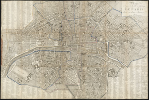
Plan routier de la ville de Paris et de ses faubourgs : ou se trouvent indiqués tous les Changemens opérés jusqu'a ce jour...
10270.
Plan routier de la ville et fauxbourgs de Paris divisé en douze mairiea
10271.
A plan shewing the situation & construction for a seat of government on the Mississippi
10272.
Plan showing approximate location of Eastern Avenue : Sept. 18th 1861
10273.
Plan showing encroachments upon the inner basins of Boston Harbor : accompanying annual report of Harbor and Land...
10274.
Plan showing proposed method of introducing the water of Mystic Pond into Charlestown
10275.
Plan showing proposed route of Subway, February 1895
10276.
Plan showing the locality of the formation and the route of the procession of Knights Templar, August 27, 1895 : issued for the...
10277.
Plan showing the part of Stoneham which the petitioners desire to have annexed to Wakefield
10278.
Plan showing the principal portion of Boston : from the latest authorities
10279.
Plan showing the principal portion of Boston : from the oldest authorities
10280.
[Plan showing wharves of Boston from Batterymarch Street to Fleet Street; the "circular line" limit of wharves; and the...
10281.
[Plan showing wharves of Boston from Batterymarch Street to Fleet Street; the "circular line" limit of wharves; and the...
10282.
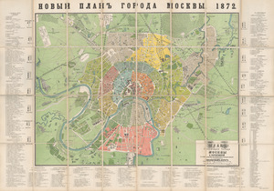
Plan stolichnogo goroda Moskvy i yego okrestnostey s oboznacheniyem basseynov, telegrafnykh stantsiy i soyedinyayushchikh...
10283.
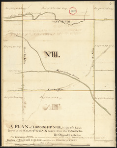
Plan surveyed by Osgood Carleton of Township No. 3 (Garland), granted Williams College, dated 1794-5.
10284.
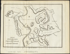
A plan to illustrate the situation of the principal hills of ancient Rome
10285.
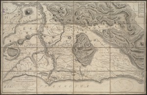
Plan topographique de la campagne de Rome
10286.
Plan topographique de Rome moderne : avec les changemens et accroissemens nouveaux
10287.
Plan van het Schottegat met de haven, of St. Anna-baai, te Curaçao : 1825
10288.
Plan von Berlin mit nächster umgebung
10289.
Plan von dem schiff-bauplatz bei Hallifax in Neuscholland
10290.
Plan von den operationen der Koeniglichen Armee unter dem General Sir William Howe : in Neuyorck und Ost-Neujerseÿ gegen die...
10291.
Plan von den operationen der Koeniglichen Armee unter dem General Sir William Howe : in Neuyorck und Ost-Neujerseÿ gegen die...
10292.
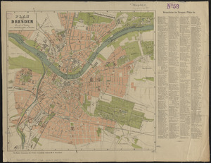
Plan von Dresden
10293.
Plan von Fort Cumberland auf der insel St. Laurenti
10294.
Plan von Halifax in Nord-America
10295.
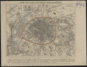
Plan von Paris und seinen festungswerken
10296.
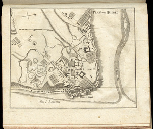
Plan von Quebec
10297.
Plan von Rhode Island : und deren dem comando des Herrn General Majors Presgott inf dies-malig befundlichen campements
10298.
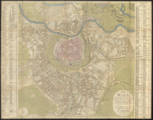
Plan von Wien und dessen vorstädten mit angabe aller haus nummern und den in neuester zeit vorgenomenen verschönerungen nach...
10299.
Planiglobii terrestris mappa universalis utrumq hemisphærium orient. et occidentale repræsentans ex IV mappis generalibus =...
10300.
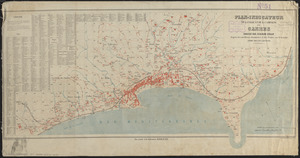
Plan-indicateur de la ville et de la campage de Cannes
‹ Prev
Next ›
1
2
…
99
100
101
102
103
104
105
106
107
…
133
134
![[Plan of William Jackson's farm, Newton]](https://bpldcassets.blob.core.windows.net/derivatives/images/commonwealth:9s161g07t/image_thumbnail_300.jpg)


![[Plan showing wharves of Boston from Batterymarch Street to Fleet Street; the "circular line" limit of wharves; and the Barricado, with gaps]](https://bpldcassets.blob.core.windows.net/derivatives/images/commonwealth:9s161j18r/image_thumbnail_300.jpg)
![[Plan showing wharves of Boston from Batterymarch Street to Fleet Street; the "circular line" limit of wharves; and the Barricado, with gaps]](https://bpldcassets.blob.core.windows.net/derivatives/images/commonwealth:9s161j166/image_thumbnail_300.jpg)