Toggle navigation
LMEC Home
Exhibitions
Georeferencing
Tools for Teachers
Collections
My Favorites
Sign Up / Log In
Search
Search the map portal
Map Collection
Map Collection
Map Sets
Search
Search
Search for
Search In
All Fields
Creator
Title
Subject
Place
Search All Digital Collections
Advanced Search
13385 Results
Filter your Search
Place
North and Central America
9,353
United States
7,078
Suffolk (county)
1,664
Boston
1,621
Europe
1,035
Canada
949
Massachusetts
794
New York
532
more
Place
»
Topic
Boston (Mass.)--Maps
741
City planning--Massachusetts--Boston--Maps
418
United States--History--Revolution, 1775-1783--Maps
329
United States--Maps
315
Urban renewal--Massachusetts--Boston--Maps
254
Real property--Massachusetts--Boston--Maps
252
Massachusetts--Maps
219
Insurance surveys
197
more
Topic
»
Date
Date range begin
–
Date range end
Current results range from
1482
to
2023
View distribution
Creator
United States. Hydrographic Office
595
Boston Redevelopment Authority
403
Des Barres, Joseph F. W. (Joseph Frederick Wallet), 1722-1824
247
Royal United Services Institute for Defence and Security Studies
160
Jefferys, Thomas, -1771
154
George, III, King of Great Britain, 1738-1820
152
George, IV, King of Great Britain, 1762-1830
151
O.H. Bailey & Co
148
more
Creator
»
Format
Maps/Atlases
13,205
Manuscripts
985
Prints
102
Books
49
Drawings/Illustrations
44
Photographs
15
Objects/Artifacts
13
Documents
7
more
Format
»
Georeferenced
Yes
979
No
12,406
Collection
Norman B. Leventhal Map Center Collection
8,891
American Revolutionary War-Era Maps
3,305
Boston and New England Maps
2,804
Urban Maps
2,397
Maritime Charts and Atlases
1,150
William L. Clements Library Collection
910
Library of Congress Collection
618
Boston Redevelopment Authority Collection
475
more
Collection
»
Available to use
No known restrictions
9,952
Creative Commons license
1,677
Search Constraints
Sort by relevance
relevance
title
date (asc)
date (desc)
Number of results to display per page
100 per page
10
per page
20
per page
50
per page
100
per page
View results as:
grid view
map view
Search Results
10101.
A plan of the town spot of Morris Town in Morris County for about three miles from the court house, made out from a view of the...
10102.
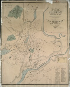
Plan of the towns of Clinton, Worcester Co. Mass : from recent surveys and records
10103.
Plan of the towns of Sturbridge and Southbridge : from actual surveys and records
10104.
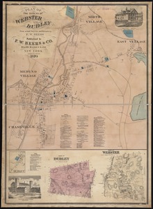
Plan of the towns of Webster and Dudley : from actual surveys and records
10105.
A plan of the township of Blenheim, as surveyed and divided in the year 1772
10106.
Plan of the U.S. Marine Hospital estate Chelsea, Mass : showing the subdivision into the buildings lots
10107.
Plan of the Village of Worcester (Worcester) made by Edward E. Phelps, dated July 1829
10108.
A plan of the west parish or Newbury new town : taken Septs. 15, 1729
10109.
Plan of the west part of the province of Lower Canada from the R.r Sorel upwards, as far as any survey's hitherto been made
10110.
Plan of the western seat of war
10111.
A Plan of the Wooden Peer built in Lake George by Col. Bagly in novemb:r 1756 Which he charged Genr:l Winslow 60:L for
10112.
A Plan of the works on Spikendevil Hill with the ground in front, protracted from a scale of 200 feet to an inch
10113.
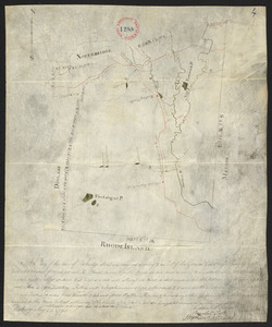
Plan of the works, which form the exterior line of defence, for the town of New-Port in Rhode Island : also of the batteries...
10114.
Plan of the yard and buildings of the Manchester Print Works
10115.
Plan of Thomaston surveyed by James Malcolm and Rufus B. Copeland, dated May 4, 1795.
10116.
Plan of Thompson Pond Settlement between Raymondtown and Poland, made by David Purington, dated January 5, 1796.
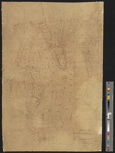
10117.
A plan of those parts of Boston, and the towns in its vicinity, with the waters and flats adjacent, which are immediately or...
10118.
Plan of three tracts of land, situate on the river Ohio, in district no. 3. state of Pennsylvania : survey'd in July, 1785
10119.
Plan of Tisbury made by Thomas Dunham, dated April 1831
10120.
Plan of Tolland made by Luke Barber, dated September 27, 1831
10121.
Plan of Topsfield made by Philander Anderson, dated 1830
10122.
Plan of Topsfield surveyed by Barnabas Dodge, dated October, 1794.
10123.
Plan of Topsham surveyed by John Merrill, dated March 1795.
10124.
Plan of Townsend, surveyor's name not given, datd April 17, 1795.
10125.
Plan of Townsend, surveyor's name not given, dated October 26, 1831
10126.
Plan of Township No. 2 (Orland) east of the Penobscot River surveyed by Osgood Carleton, dated 1795.
10127.
Plan of Township No.2 (Freeman) and Township No.3 (New Portland) surveyed by Samuel Freeman, dated 1795.
10128.
Plan of Township No.7 (Sumer) and Hartford (Township No.6), made by Noah Bosworth, dated 1794-5.
10129.
Plan of Township No.8 and Township No.9 surveyed by Agreen Crabtree, dated December 24, 1795.
10130.
[Plan of Tremont Street from Park to Boylston]
10131.
[Plan of Tremont Street, from West to Boylston]
10132.
Plan of Trenton surveyed by John Peters and John Peters Jr., dated 1795.
10133.
Plan of Truro made by John G. Hales, dated 1831
10134.
Plan of Truro made by Joshua H Davis, dated 1841
10135.
Plan of Truro, surveyor's name not given, dated March 11, 1795.
10136.
Plan of Turner, surveyor's name not given, dated February 5, 1795.
10137.
Plan of two lots of valuable land in Washington Village, South Boston : to be sold at Public Auction, on Wednesday April 22d...
10138.
A plan of two routs propose for the Middlesex Canal, in which Mistic River, ponds &c, as far up as Symmes's, are copied from...
10139.
Plan of Tyngsborough surveyed by Fred French, dated May 27, 1795.
10140.
Plan of Tyringham, surveyor's name not given, dated 1830
10141.
Plan of Tyringham, surveyor's name not given, dated May 1795.
10142.
Plan of Union surveyed by Ebenezer Jennison, dated 1794-5.
10143.
Plan of Upton made by Nahum W. Holbrook, dated 1831
10144.
Plan of Upton, surveyor's name not given, dated May 19, 1795.
10145.
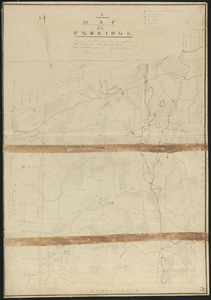
Plan of Uxbridge made by Abiel Jaques, dated 1830
10146.
Plan of Uxbridge, made by Frederic Taft, dated May 25, 1795.
10147.
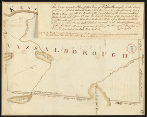
Plan of Vassalborough surveyed by Ephraim Ballard, dated January, 1795.
10148.
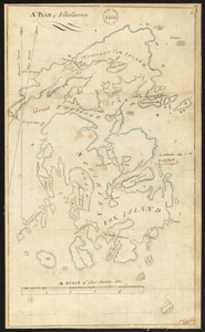
Plan of Vinalhaven made by J. Vinal, in 1786. Scale 200rds to 1".
10149.
Plan of Waldoborough surveyed by Ebenezer Jennison, dated 1794-5.
10150.
Plan of Wales (South Brimfield), made by Daniel Wright, dated April 1, 1795.
10151.
Plan of Wales surveyed by James Shurtleff, dated 1794.
10152.
Plan of Wales, surveyor's name not given, dated 1830
10153.
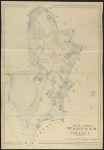
Plan of Walpole made by Elijah Hewins, dated December, 1832
10154.
Plan of Walpole made by John G. Hales, dated 1831
10155.
Plan of Walpole, surveyor's name not given, dated October 1794.
10156.
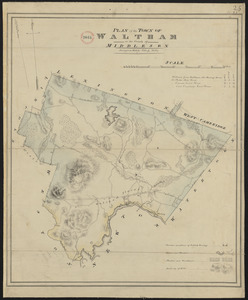
Plan of Waltham made by John G Hales, dated 1831
10157.
Plan of Waquoit Bay in the town of Falmouth
10158.
Plan of Ward (Auburn) made by Hervey Peirce, dated February 1831
10159.
Plan of Ward (Auburn), surveyed by Joseph Stone, dated November 6, 1794.
10160.
Plan of wards 6, 7, 8, 9, 10 and 12, Boston : showing sewers and contours :Jan., 1878
10161.
Plan of Ware, surveyor's name not given, dated 1830
10162.
Plan of Ware, surveyor's name not given, dated April 1795.
10163.
Plan of Wareham, surveyor's name not given, dated 1795.
10164.
Plan of Wareham, surveyor's name not given, dated 1830
10165.
Plan of Warren surveyed by Rufus B Copeland, dated April 21, 1795.
10166.
Plan of Warren (Western), surveyor's name not given, dated April 1795.
10167.
Plan of Warren (Western), surveyor's name not given, dated October 24, 1831
10168.
Plan of Warwick made by Jonathan Blake, Jr., dated 1830
10169.
Plan of Warwick, surveyor's name not given, dated November 1794.
10170.
Plan of Washington made by Luke Barber, dated May 9, 1831
10171.
Plan of Washington Street showing proposed lines of widening from Asylum to Warren : Oct. 2nd 1860
10172.
Plan of Washington Street showing proposed lines of widening from Dover to Asylum : Oct. 3rd 1860
10173.
Plan of Washington Street showing proposed lines of widening from Warren to Kneeland : Oct. 1st 1860
10174.
Plan of Washington, surveyor's name not given, dated March 1795.
10175.
Plan of Washingtons position
10176.
Plan of Waterborough surveyed by Michel Bowden dated May 26, 1795.
10177.
Plan of Waterford surveyed by Nathaniel Chamberlin, dated December 29, 1795.
10178.
Plan of Watertown and Waltham surveyed by Abner Sanderson, dated 1795.
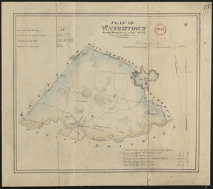
10179.
Plan of Watertown made by John G. Hales, dated June 1830
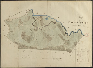
10180.
Plan of Wayland (East Sudbury) made by William C Grout, dated March, 1831
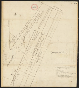
10181.
Plan of Wayne, surveyor's name not given. Endorsement reads New Sandwich or No.1 Plantation, Lincoln. Received January 18, 1796.
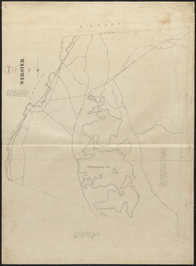
10182.
Plan of Webster, surveyor's name not given, dated 1830
10183.
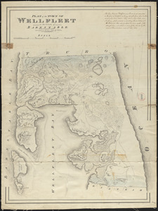
Plan of Wellfleet made by John G. Hales, dated 1831
10184.
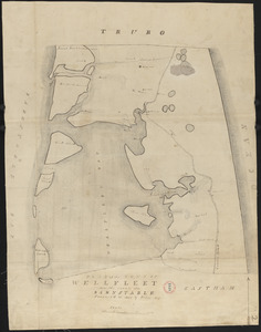
Plan of Wellfleet made by Oliver Arey, dated 1841
10185.
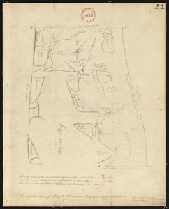
Plan of Wellfleet, surveyor's name not given, dated May 1795.
10186.
Plan of Wells, made by Ralph Wheelwright, dated November 1794.
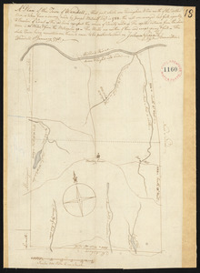
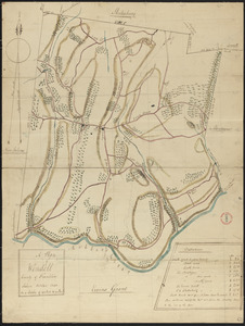
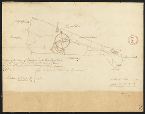
10187.
Plan of Wendell, surveyor's name not given, dated January 1, 1795.
10188.
Plan of Wendell, surveyor's name not given, dated October 1830
10189.
Plan of Wenham made by Philander Anderson, dated 1831
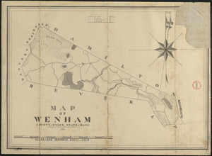
10190.
Plan of Wenham surveyed by Richard Dodge, dated January, 1795.
10191.
Plan of West Boylston made by William H. Wood, dated September 1830
10192.
Plan of West Bridgewater, surveyor's name not given, dated 1830
10193.
Plan of West Bridgewater, surveyor's name not given, dated 1831
10194.
A Plan of West Florida, the Isle of Orleans, and some parts of the Spanish dominions to the westward of the Mississipi
10195.
Plan of West Newbury made by Philander Anderson, dated 1830
10196.
Plan of West Point, Virginia
10197.
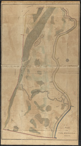
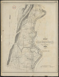
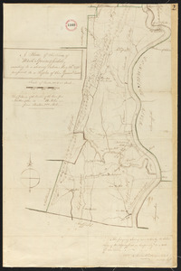
A plan of West Springfield
10198.
Plan of West Springfield made by J. Lathrop, dated August 1831
10199.
Plan of West Springfield made by J. Lathrop, dated August 1831
10200.
Plan of West Springfield, surveyor's name not given, dated May 20, 1795.
‹ Prev
Next ›
1
2
…
98
99
100
101
102
103
104
105
106
…
133
134


![[Plan of Tremont Street from Park to Boylston]](https://bpldcassets.blob.core.windows.net/derivatives/images/commonwealth:9s161b59r/image_thumbnail_300.jpg)
![[Plan of Tremont Street, from West to Boylston]](https://bpldcassets.blob.core.windows.net/derivatives/images/commonwealth:sn00b611k/image_thumbnail_300.jpg)