Toggle navigation
LMEC Home
Collections
My Favorites
Exhibitions
Georeferencing
Tools for Teachers
Sign Up / Log In
Search
Search the map portal
Search
Search
Search for
Search in
All Fields
Title
Subject
Place
Creator
Search All Digital Collections
Advanced Search
114 Results
Search Constraints
My Search
Start Over
"Back Bay"
Remove constraint "Back Bay"
Filter your Search
Show filters
Hide filters
Place
Massachusetts
114
North and Central America
114
United States
114
Boston
110
Suffolk (county)
110
Back Bay
56
Fens
13
South End
7
more
Place
»
Topic
Back Bay (Boston, Mass.)--Maps
54
City planning--Massachusetts--Boston--Maps
37
Boston (Mass.)--Maps
36
Real property--Massachusetts--Boston--Maps
28
Landowners--Massachusetts--Boston--Maps
25
Fenway (Boston, Mass.)--Maps
15
Urban renewal--Massachusetts--Boston--Maps
15
Buildings--Massachusetts--Boston--Maps
13
more
Topic
»
Date
Begin
End
View distribution
Creator
Boston Redevelopment Authority
25
Bromley, George Washington
10
Bromley, Walter Scott
9
Fuller & Whitney
9
G.W. Bromley & Co.
9
Olmsted, Frederick Law, 1822-1903
5
Back Bay (Boston (Mass.). Commissioners
4
Boston (Mass.). Department of Parks
4
more
Creator
»
Format
Maps/Atlases
113
Documents
5
Drawings/Illustrations
2
Manuscripts
1
Georeferenced
Yes
34
No
80
Collection
Boston and New England Maps
105
Urban Maps
98
Norman B. Leventhal Map & Education Center Collection
80
Boston Redevelopment Authority Collection
40
Mapping Boston Collection
5
Massachusetts Real Estate Atlases
5
Dana F. Perkins, Inc. Surveying Records
2
Applied Geographics, Inc. Records
1
more
Collection
»
Available to use
No known restrictions
103
Creative Commons license
6
Sort
by date (asc)
relevance
title
date (asc)
date (desc)
recently added
Number of results to display per page
20
per page
per page
10
per page
20
per page
50
per page
100
per page
Search Results
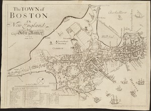
1.
The town of Boston in New England
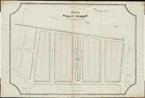
2.
Plan of Public Garden : showing proposed arrangement of lots thereon
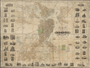
3.
Map of the city of Boston and immediate neighborhood : from original surveys
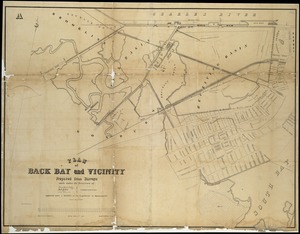
4.
Plan of Back Bay and vicinity : prepared from surveys made under the direction of Simon Greenleaf, Joel Giles, Ezra Lincoln,...
5.
[Plan of boundary lines in Roxbury and the City of Boston]
6.
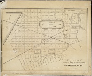
Plan presented to the honble. the State Commissioners for the improvement of the Back Bay
7.
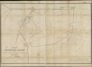
Plan of the receiving basin showing certain avenues and lines of release
8.
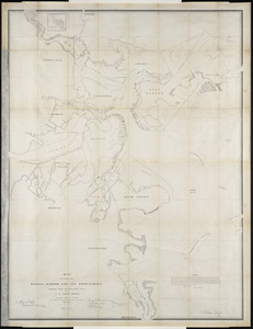
Map of parts of Boston Harbor and its tributaries
9.
Plan accompanying the proposal made to the City of Boston by the Commissioners on Boston Harbor and the Back Bay Octr. 20, 1854...
10.
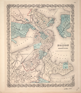
Map of Boston and adjacent cities
11.
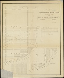
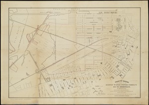
Plan of house lots & other lands offered for sale by the Boston Water Power Company
12.
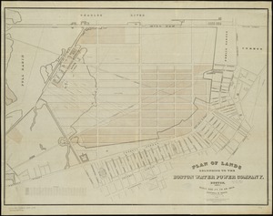
Plan of lands belonging to the Boston Water Power Company
13.
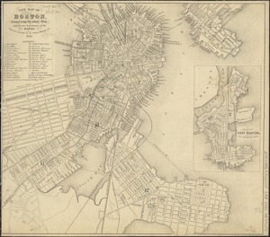
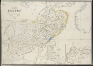
New map of Boston, comprising the whole city, with the new boundaries of the wards
14.
Plan of lands belonging to the Boston Water Power Company and the Commonwealth, on the Back Bay, showing part of the city...
15.
Plan of Boston
16.
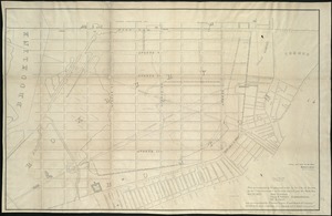
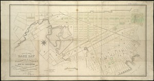
Plan of lands on the Back Bay, belonging to the Boston Water Power Co., the Commonwealth, and other parties, showing the system...
17.
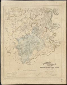
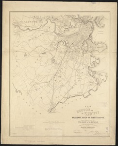
Plan of Boston and its vicinity, showing the drainage area of Stony Brook which empties into the full basin of the Back Bay
18.
Plan of Boston and its vicinity, showing the drainage area of Stony Brook which empties into the full basin of the Back Bay
19.
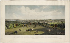
Environs of Boston, from Corey's Hill, Brookline, Mass
20.
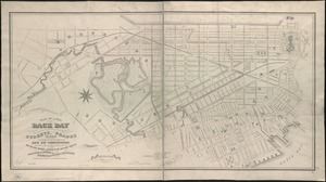
Plan of lands on the Back Bay belonging to the Boston Water Power Co., the Commonwealth and other parthies [i.e. parties],...
« Previous
Next »
1
2
3
4
5
6