Toggle navigation
LMEC Home
Collections
My Favorites
Exhibitions
Georeferencing
Tools for Teachers
Sign Up / Log In
Search
Search the map portal
Search
Search
Search for
Search in
All Fields
Title
Subject
Place
Creator
Search All Digital Collections
Advanced Search
15351 Results
Filter your Search
Show filters
Hide filters
Place
North and Central America
12,055
United States
10,013
Massachusetts
3,954
Suffolk (county)
1,734
Boston
1,684
Europe
1,461
Canada
1,032
New York
890
more
Place
»
Topic
Boston (Mass.)--Maps
769
City planning--Massachusetts--Boston--Maps
421
United States--Maps
353
United States--History--Revolution, 1775-1783--Maps
331
Real property--Massachusetts--Boston--Maps
260
Urban renewal--Massachusetts--Boston--Maps
254
Massachusetts--Maps
249
North America--Maps--Early works to 1800
242
more
Topic
»
Date
Begin
End
View distribution
Creator
United States. National Ocean Service
684
United States. Hydrographic Office
599
Boston Redevelopment Authority
404
Des Barres, Joseph F. W. (Joseph Frederick Wallet), 1722-1824
246
Jefferys, Thomas, -1771
188
Royal United Services Institute for Defence and Security Studies
160
George, III, King of Great Britain, 1738-1820
152
George, IV, King of Great Britain, 1762-1830
151
more
Creator
»
Format
Maps/Atlases
15,142
Manuscripts
985
Prints
109
Books
70
Drawings/Illustrations
44
Objects/Artifacts
18
Photographs
15
Ephemera
11
more
Format
»
Georeferenced
Yes
1,312
No
14,039
Collection
Norman B. Leventhal Map & Education Center Collection
9,467
American Revolutionary War-Era Maps
3,914
Boston and New England Maps
3,077
Urban Maps
2,564
Maritime Charts and Atlases
1,169
William L. Clements Library Collection
910
U.S. Government Documents Maps Collection
718
Library of Congress Collection
618
more
Collection
»
Available to use
No known restrictions
11,301
Creative Commons license
1,688
Sort
by recently added
relevance
title
date (asc)
date (desc)
recently added
Number of results to display per page
50
per page
per page
10
per page
20
per page
50
per page
100
per page
Search Results
1.
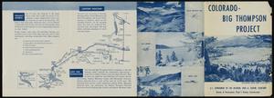
Colorado-Big Thompson Project
2.
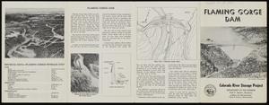
Flaming Gorge Dam, Colorado River Storage Project
3.
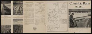
Columbia Basin Project
4.
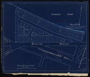
Plan no. 2 : [West Chester Park]
5.
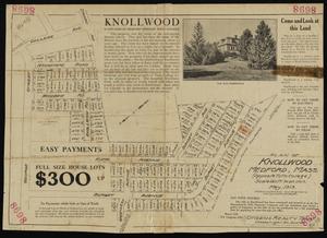
Plan of Knollwood, Medford, Mass. (opposite Tufts College)
6.
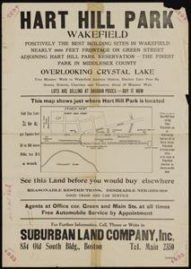
Hart Hill Park, Wakefield : positively the best building sites in Wakefield...
7.
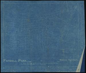
Fordell Park, Melrose Highlands
8.
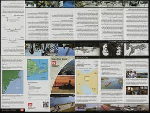
Cape Cod Canal
9.
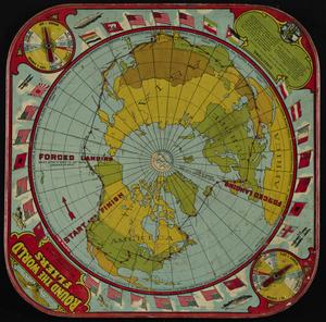
Round the world fliers
10.
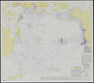
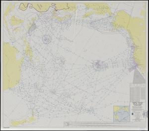
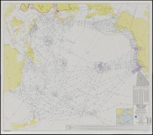
North Pacific route chart : composite
11.
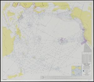
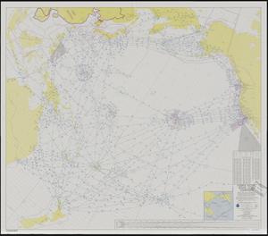
North Pacific route chart : composite
12.
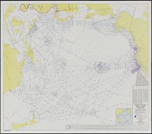
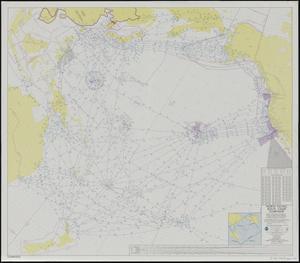
North Pacific route chart : composite
13.
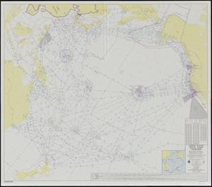
North Pacific route chart : composite
14.
North Pacific route chart : composite
15.
North Pacific route chart : composite
16.
North Pacific route chart : composite
17.
North Pacific route chart : composite
18.
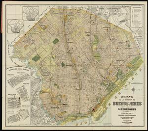
Plano de la ciudad de Buenos Aires y sus alrededores
19.
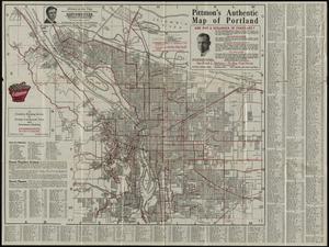
Pittmon's authentic map of Portland
20.
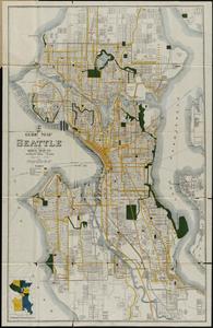
Guide map of Seattle
21.
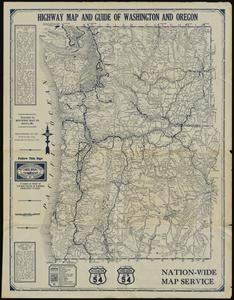
Highway map and guide of Washington and Oregon
22.
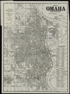
Map of Omaha and vicinity
23.
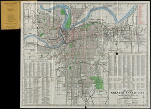
Map of greater Kansas City
24.
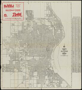
Wright's map of Milwaukee and suburbs
25.
City map of Grand Rapids Michigan
26.
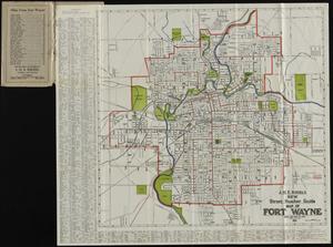
J.M.E. Riedel's new street number guide map of Fort Wayne
27.
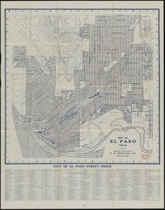
Map of El Paso, Texas
28.
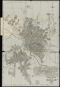
Simpson-Whiteman Co. map of Dallas Texas 1925
29.
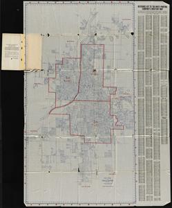
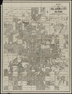
Map of Oklahoma City, Oklahoma
30.
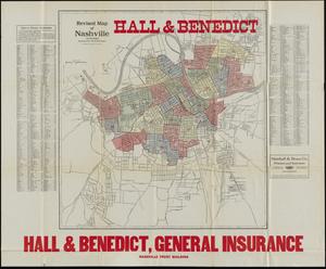
Revised map of Nashville, Tennessee : showing new ward boundaries
31.
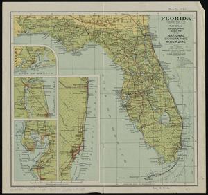
Florida
32.
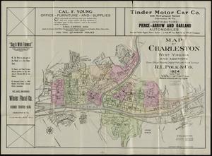
Map of Charleston, West Virginia and additions from official records, original plats and actual surveys
33.
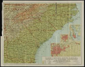
North Carolina, South Carolina, Georgia and eastern Tennessee
34.
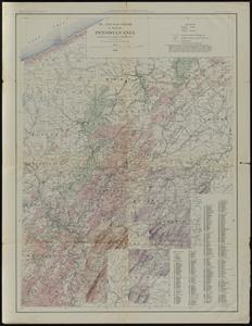
Oil and gas fields of western Pennsylvania
35.
Boston, Mass.--Niagara Falls, N.Y. highway strip map
36.
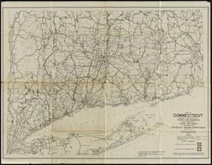
Map of Connecticut showing the system of trunk line highways and connecting state aid roads
37.
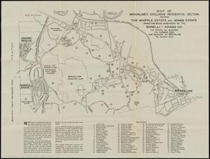
Map of Brookline's exclusive residential section including the Whipple Estate and Adams Estate owned and being subdivided by...
38.
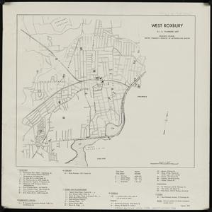
West Roxbury : R.I.G. planning map
39.
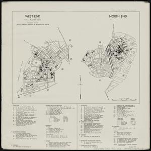
West End ; North End : R.I.G. planning maps
40.
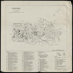
South End : R.I.G. planning map
41.
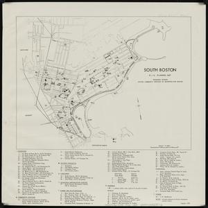
South Boston : R.I.G. planning map
42.
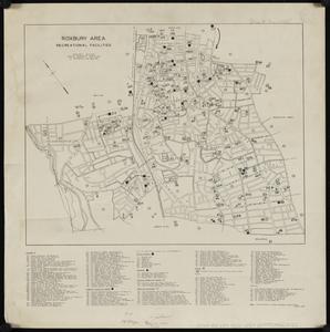
Roxbury Area : R.I.G. planning map
43.
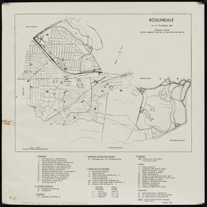
Roslindale : R.I.G. planning map
44.
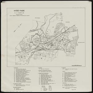
Hyde Park : R.I.G. planning map
45.
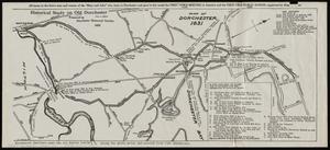
Historical study on old Dorchester
46.
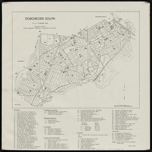
Dorchester south : R.I.G. planning map
47.
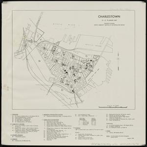
Charlestown : R.I.G. planning map
48.
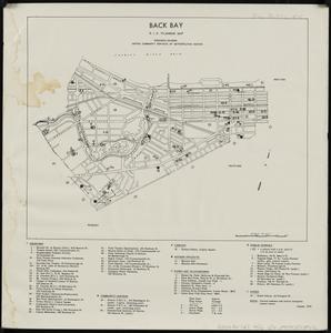
Back Bay : R.I.G. planning map
49.
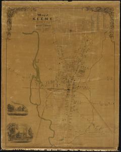
Map of Keene, Cheshire Co., N.H.
50.
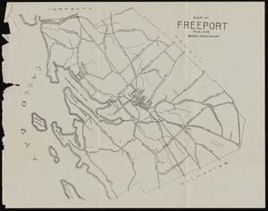
Map of Freeport, Maine
« Previous
Next »
1
2
3
4
5
…
307
308