Toggle navigation
LMEC Home
Collections
My Favorites
Exhibitions
Georeferencing
Tools for Teachers
Sign Up / Log In
Search
Search the map portal
Search
Search
Search for
Search in
All Fields
Title
Subject
Place
Creator
Search All Digital Collections
Advanced Search
111 Results
Search Constraints
My Search
Start Over
"Back Bay"
Remove constraint "Back Bay"
Filter your Search
Show filters
Hide filters
Place
Massachusetts
111
North and Central America
111
United States
111
Boston
107
Suffolk (county)
107
Back Bay
54
Fens
12
South End
7
more
Place
»
Topic
Back Bay (Boston, Mass.)--Maps
52
Boston (Mass.)--Maps
36
City planning--Massachusetts--Boston--Maps
36
Real property--Massachusetts--Boston--Maps
25
Landowners--Massachusetts--Boston--Maps
23
Urban renewal--Massachusetts--Boston--Maps
15
Fenway (Boston, Mass.)--Maps
14
Buildings--Massachusetts--Boston--Maps
13
more
Topic
»
Date
Begin
End
View distribution
Creator
Boston Redevelopment Authority
25
Bromley, George Washington
10
Bromley, Walter Scott
9
G.W. Bromley & Co.
9
Fuller & Whitney
6
Olmsted, Frederick Law, 1822-1903
5
Back Bay (Boston (Mass.). Commissioners
4
Boston (Mass.). Department of Parks
4
more
Creator
»
Format
Maps/Atlases
110
Documents
3
Drawings/Illustrations
2
Manuscripts
1
Georeferenced
Yes
34
No
77
Collection
Boston and New England Maps
102
Urban Maps
95
Norman B. Leventhal Map & Education Center Collection
77
Boston Redevelopment Authority Collection
40
Mapping Boston Collection
5
Massachusetts Real Estate Atlases
5
Applied Geographics, Inc. Records
1
Dana F. Perkins, Inc. Surveying Records
1
more
Collection
»
Available to use
No known restrictions
100
Creative Commons license
6
Sort
by date (desc)
relevance
title
date (asc)
date (desc)
recently added
Number of results to display per page
100
per page
per page
10
per page
20
per page
50
per page
100
per page
Search Results
1.
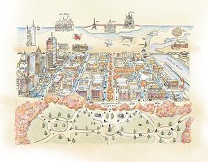
Back Bay view of the world
2.
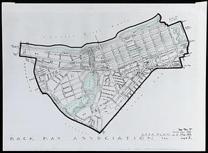
Area plan as of May 1962
3.
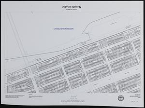
City of Boston planimetric survey sheet no. 23I
4.
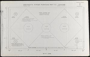
Planting beds on Dartmouth Street and Boylston Street in Copley Square
5.
Profile of Huntington Avenue/St. James Avenue from Harcourt Street to Berkeley Street
6.
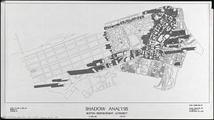
Shadow analysis
7.
John Hancock office and parking garage complex, Boston, Massachusetts
8.
Mass pike air rights study
9.
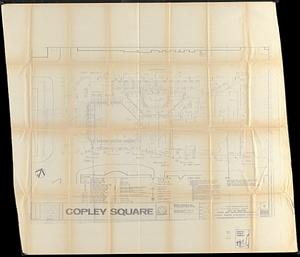
Copley Square : layout and pavement plan with tree numbers added
10.
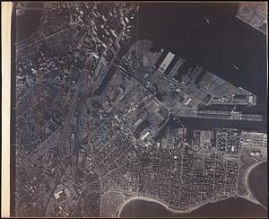
Aerial photograph of South Boston
11.
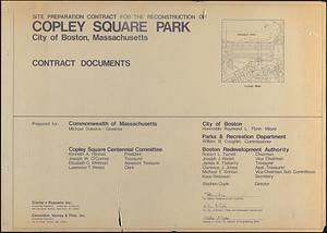
Site preparation contract for the reconstruction of Copley Square Park, City of Boston, Massachusetts : contract documents
12.
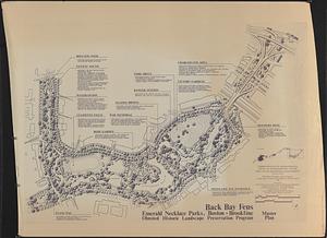
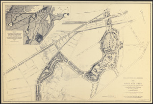
Back Bay Fens master plan
13.
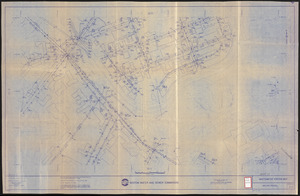
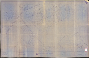
Wastewater system map, Boston proper, sheet no. 21h
14.
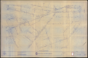
Water distribution system map, Boston proper, sheet no. 21h
15.
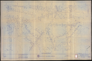
Water distribution system map, Boston proper, sheet no. 22h
16.
Water system map, Boston proper, sheet no. 22h
17.
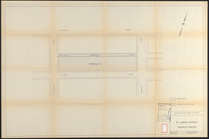
St. James Avenue garage parcel
18.
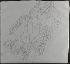
Outline map and view of the Prudential Center area
19.
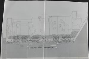
Boylston Street improvements
20.
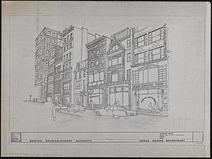
Illustration of the south side of Boylston Street between Clarendon and Berkeley Streets
21.
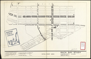
Back Bay study landscape plan
22.
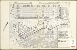
Back Bay study
23.
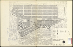
Proposed land use plan and circulation system
24.
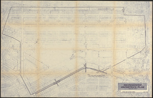
Recommended geometrics plan : Back Bay study area
25.
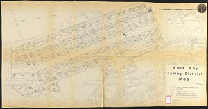
Back Bay zoning district map
26.
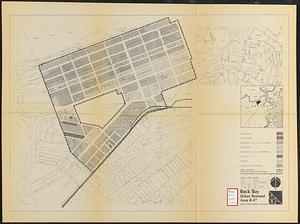
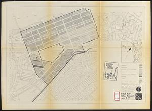
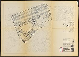
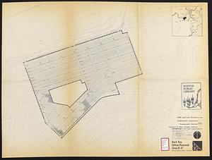
Back Bay urban renewal area r-47 : land use plan
27.
Back Bay urban renewal area r-47 : land use plan
28.
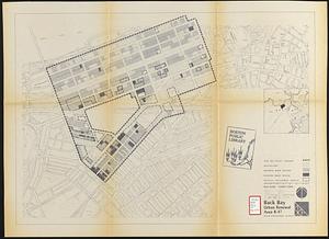
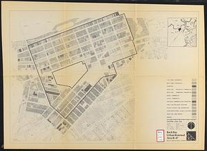
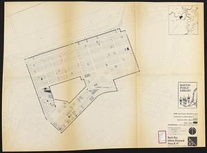
Back Bay urban renewal area r-47 : building conditions
29.
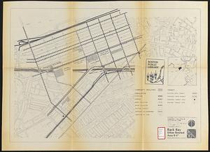
Back Bay urban renewal area r-47 : community facilities & circulation plan
30.
Back Bay urban renewal area r-47 : building conditions
31.
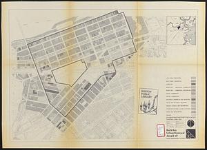
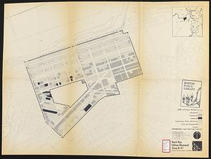
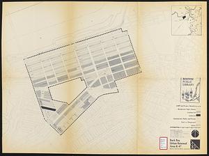
Back Bay urban renewal area r-47 : existing land use
32.
Back Bay urban renewal area r-47 : existing land use
33.
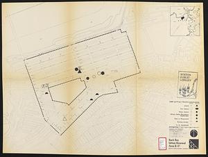
Back Bay project no. Mass. R-47 : police signal system, fire alarm system and M.T.A. facilities
34.
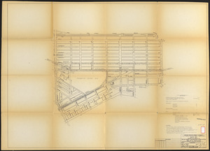
Back Bay project no. Mass R-47
35.
Back Bay urban renewal area r-47 : existing and proposed community facilities
36.
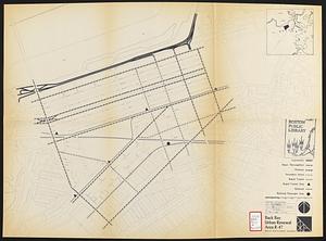
Back Bay urban renewal area r-47 : existing circulation
37.
Back Bay urban renewal area r-47 : existing land use
38.
Back Bay urban renewal area r-47 : proposed treatment and title 1 projects
39.
Back Bay urban renewal area r-47 : building conditions
40.
Back Bay urban renewal area r-47 : proposed land use
41.
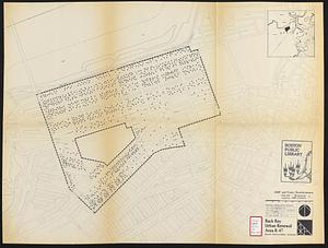
Back Bay urban renewal area r-47 : existing population density
42.
City of Boston topographic and planimetric survey
43.
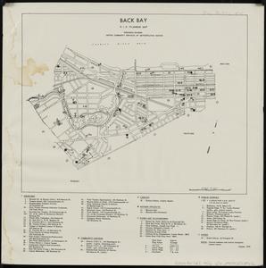
Back Bay : R.I.G. planning map
44.
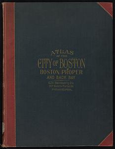
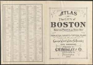
Atlas of the city of Boston : Boston proper and Back Bay
45.
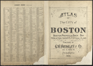
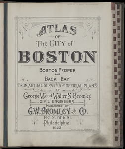
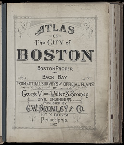
Atlas of the city of Boston : Boston proper and Back Bay : from actual surveys and official plans
46.
Rose garden in Fens-Back Bay
47.
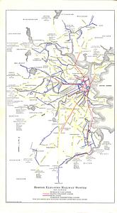
Boston Elevated Railway system
48.
Atlas of the city of Boston : Boston proper and Back Bay
49.
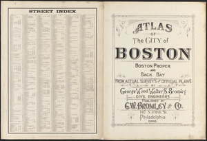
Atlas of the city of Boston : Boston proper and Back Bay : from actual surveys and official plans
50.
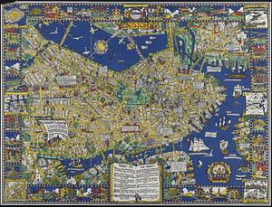
The colour of an old city : a map of Boston, decorative and historical
51.
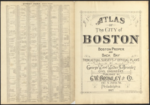
Atlas of the city of Boston : Boston proper and Back Bay : from actual surveys and official plans
52.
Atlas of the city of Boston : Boston proper and Back Bay
53.
Atlas of the city of Boston : Boston proper and Back Bay : from actual surveys and official plans
54.
Atlas of the city of Boston : Boston proper and Back Bay
55.
Atlas of the city of Boston : Boston proper and Back Bay : from actual surveys and official plans
56.
Atlas of the city of Boston : Boston proper and Back Bay
57.
Atlas of the city of Boston : Boston proper and Back Bay : from actual surveys and official plans
58.
Atlas of the city of Boston : Boston proper and Back Bay : from actual surveys and official plans
59.
Map of the Back Bay Fens showing the public ways bordering and crossing them and the neighboring newly laid out parts of...
60.
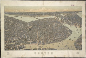
Boston : 1899
61.
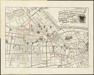
A guide to Boston
62.
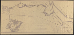
Plan of portion of park system from Common to Franklin Park : including Charles River Basin, Charlesbank, Commonwealth Avenue,...
63.
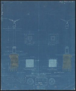
New public library building, Boston, Mass. : 1/4 inch scale drawing for foundations of columns at Dartmouth Street entrance
64.
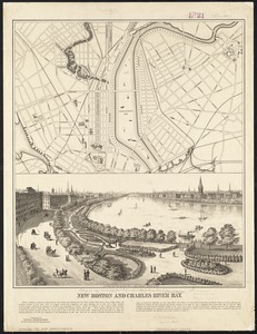
New Boston and Charles River Bay
65.
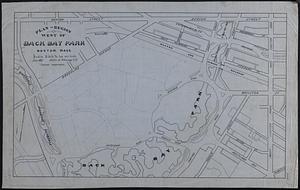
Plan of region west of Back Bay Park, Boston, Mass. : proposed improvements
66.
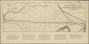
Preliminary plan for widening Beacon Street from the Back Bay district of Boston to the public pleasure ground at Chestnut Hill...
67.
[Plan of section of proposed Charles River Park]
68.
Plan no. 2 : [West Chester Park]
69.
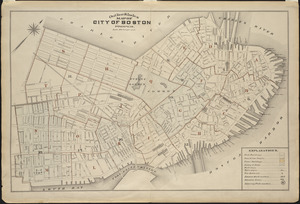
Outline and index map of city of Boston proper
70.
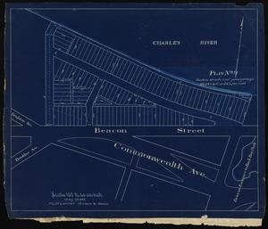
[Plan of lots on Falmouth Street, Boston]
71.
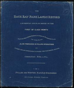
The Back Bay Park lands record : a schedule and plan issued on the first of each month showing recorded deeds located by...
72.
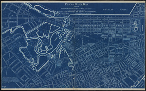
Plan of Back Bay showing improvements on streets and estates
73.
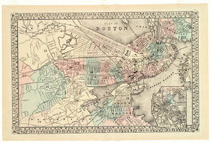
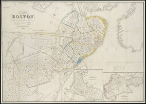
Plan of Boston
74.
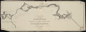
Proposed park system from the Common to the West Roxbury Park including the Back Bay and Muddy river improvements, Jamaica Pond...
75.
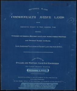
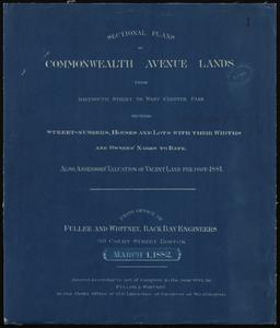
Sectional plans of Commonwealth Avenue lands from Dartmouth Street to West Chester Park, showing street-numbers, houses and...
76.
Sectional plans of Commonwealth Avenue lands from Dartmouth Street to West Chester Park, showing street-numbers, houses and...
77.
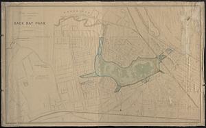
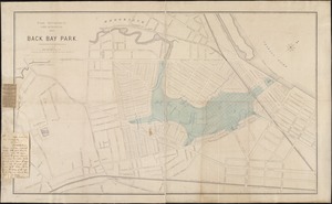
Back Bay park
78.
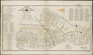
Celebration, 250th anniversary of the settlement of Boston, Sept. 17th, 1880
79.
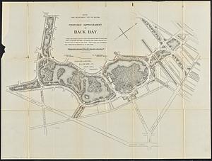
Proposed improvement of Back Bay
80.
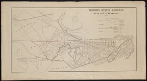
Proposed street railroad over the Back Bay to Brookline
81.
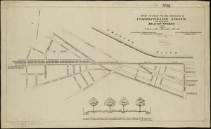
Study of plan for the extension of Commonwealth Avenue on the line of Beacon Street
82.
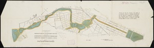
Suggestion for the improvement of Muddy River and for completing a continuous promenade from the Common to Jamaica Pond
83.
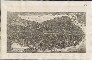
The City of Boston : 1879
84.
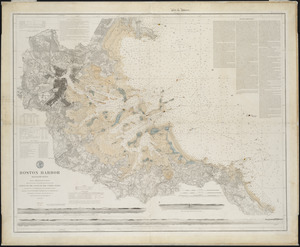
Boston Harbor, Massachusetts
85.
Back Bay park
86.
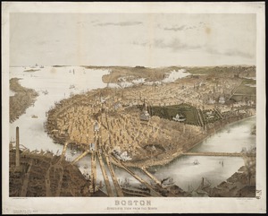
Boston : bird's-eye view from the north
87.
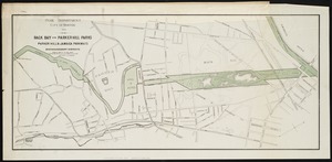
Back Bay and Parker Hill parks : Parker Hill and Jamaica parkways : Boston and Roxbury districts
88.
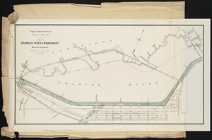
Charles River embankment : Boston district
89.
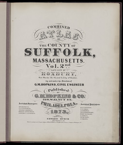
Atlas of the county of Suffolk, Massachusetts : vol. 2nd late city of Roxbury, now wards 13-14 and 15, city of Boston
90.
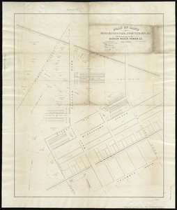
Plan of land on West Chester Park and Huntington Ave. belonging to the Boston Water Power Co
91.
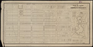
Plan of lands belonging to the Commonwealth of Massachusetts
92.
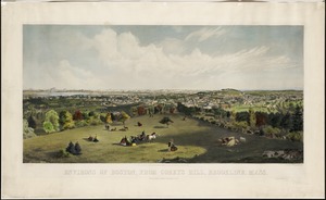
Environs of Boston, from Corey's Hill, Brookline, Mass
93.
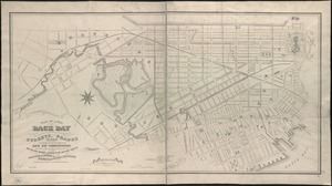
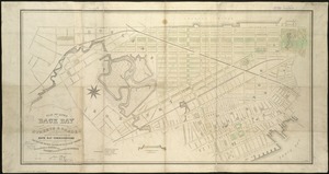
Plan of lands on the Back Bay belonging to the Boston Water Power Co., the Commonwealth and other parthies [i.e. parties],...
94.
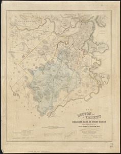
Plan of Boston and its vicinity, showing the drainage area of Stony Brook which empties into the full basin of the Back Bay
95.
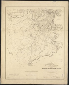
Plan of Boston and its vicinity, showing the drainage area of Stony Brook which empties into the full basin of the Back Bay
96.
Plan of Boston
97.
Plan of lands on the Back Bay, belonging to the Boston Water Power Co., the Commonwealth, and other parties, showing the system...
98.
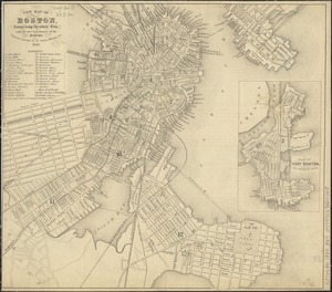
New map of Boston, comprising the whole city, with the new boundaries of the wards
99.
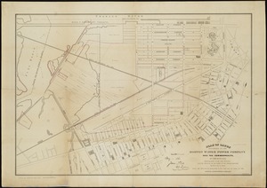
Plan of lands belonging to the Boston Water Power Company and the Commonwealth, on the Back Bay, showing part of the city...
100.
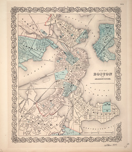
Map of Boston and adjacent cities
« Previous
Next »
1
2