Toggle navigation
LMEC Home
Collections
My Favorites
Exhibitions
Georeferencing
Tools for Teachers
Sign Up / Log In
Search
Search the map portal
Search
Search
Search for
Search in
All Fields
Title
Subject
Place
Creator
Search All Digital Collections
Advanced Search
15354 Results
Filter your Search
Show filters
Hide filters
Place
North and Central America
12,057
United States
10,015
Massachusetts
3,954
Suffolk (county)
1,734
Boston
1,684
Europe
1,462
Canada
1,033
New York
890
more
Place
»
Topic
Boston (Mass.)--Maps
769
City planning--Massachusetts--Boston--Maps
421
United States--Maps
353
United States--History--Revolution, 1775-1783--Maps
331
Real property--Massachusetts--Boston--Maps
260
Urban renewal--Massachusetts--Boston--Maps
254
Massachusetts--Maps
249
North America--Maps--Early works to 1800
242
more
Topic
»
Date
Begin
End
View distribution
Creator
United States. National Ocean Service
684
United States. Hydrographic Office
599
Boston Redevelopment Authority
404
Des Barres, Joseph F. W. (Joseph Frederick Wallet), 1722-1824
246
Jefferys, Thomas, -1771
188
Royal United Services Institute for Defence and Security Studies
160
George, III, King of Great Britain, 1738-1820
152
George, IV, King of Great Britain, 1762-1830
151
more
Creator
»
Format
Maps/Atlases
15,145
Manuscripts
985
Prints
109
Books
70
Drawings/Illustrations
44
Objects/Artifacts
18
Photographs
15
Ephemera
11
more
Format
»
Georeferenced
Yes
1,312
No
14,042
Collection
Norman B. Leventhal Map & Education Center Collection
9,470
American Revolutionary War-Era Maps
3,914
Boston and New England Maps
3,078
Urban Maps
2,564
Maritime Charts and Atlases
1,169
William L. Clements Library Collection
910
U.S. Government Documents Maps Collection
718
Library of Congress Collection
618
more
Collection
»
Available to use
No known restrictions
11,304
Creative Commons license
1,688
Sort
by title
relevance
title
date (asc)
date (desc)
recently added
Number of results to display per page
10
per page
per page
10
per page
20
per page
50
per page
100
per page
Search Results
1.
1. Egypt and the Near East, 3000-1200 BCE
2.
1. Prise de Newport par d'Estaing, 1778 : 2. Embossage de Ternay à Newport, 1780
3.
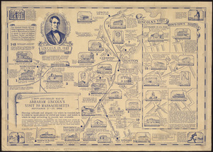
The 100th anniversary map of Abraham Lincoln's visit to Massachusetts, September 11-23, 1848
4.
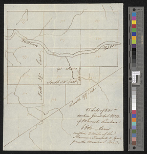
15 lots of 440a each in Great Lot no. 4 of Macomb purchase : 6600 acres within 2 miles of the St. Lawrence Turnpike & 1/2 mile...
5.
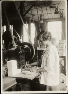
15-year old girl punching cards. Boston Index Card Co., 113 Purchase Street.
6.
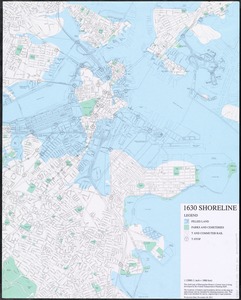
1630 shoreline
7.
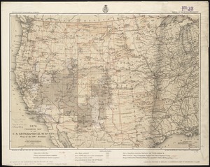
1879. Progress map of the U.S. Geographical Surveys west of the 100th Meridian : prepared under the direction of 1st Lieut....
8.
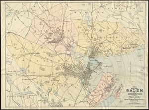
1903 Map of Salem and surrounding places
9.
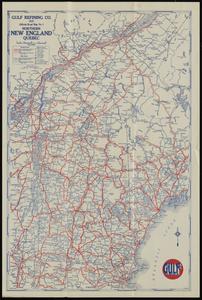
1929 official road map no. 1, northern New England, Québec
10.
1930 highway map of Rhode Island : showing the state highway system and principal connecting roads
« Previous
Next »
1
2
3
4
5
…
1,535
1,536