Toggle navigation
LMEC Home
Collections
My Favorites
Exhibitions
Georeferencing
Tools for Teachers
Sign Up / Log In
Search
Search the map portal
Search
Search
Search for
Search in
All Fields
Title
Subject
Place
Creator
Search All Digital Collections
Advanced Search
910 Results
Search Constraints
My Search
Start Over
More like
commonwealth-oai:2n49z236n
Remove constraint More like: commonwealth-oai:2n49z236n
Filter your Search
Show filters
Hide filters
Place
North and Central America
884
United States
624
Canada
205
New York
192
Quebec
111
Pennsylvania
60
New Jersey
54
Nova Scotia
48
more
Place
»
Topic
United States--History--Revolution, 1775-1783--Maps
305
United States--History--French and Indian War, 1754-1763--Maps
149
Saint Lawrence River--Maps
43
Newport (R.I.)--Maps
27
New York (State)--Maps
24
Hudson River (N.Y. and N.J.)--Maps
21
Québec (Québec)--Maps
21
Louisbourg (N.S.)--Maps
20
more
Topic
»
Creator
Rocque, Mary Ann
29
Holland, Samuel, 1728-1801
25
Montrésor, John, 1736-1799
25
Bellin, Jacques Nicolas, 1703-1772
24
Jefferys, Thomas, -1771
24
Clinton, Henry, Sir, 1738?-1795
19
Robert Sayer and John Bennett (Firm)
15
Hills, John, active 1777-1819
13
more
Creator
»
Format
Maps/Atlases
894
Drawings/Illustrations
11
Documents
5
Prints
1
Georeferenced
No
910
Collection
American Revolutionary War-Era Maps
909
William L. Clements Library Collection
909
Norman B. Leventhal Map & Education Center Collection
1
Available to use
No known restrictions
1
Sort
by date (desc)
relevance
title
date (asc)
date (desc)
recently added
Number of results to display per page
20
per page
per page
10
per page
20
per page
50
per page
100
per page
Search Results
881.
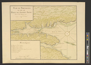
Plan du Portdauphin et de la Baye de Sainte Anne dans l'Isle Royale
882.
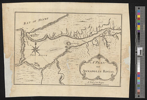
A plan of Annapolis Royal
883.
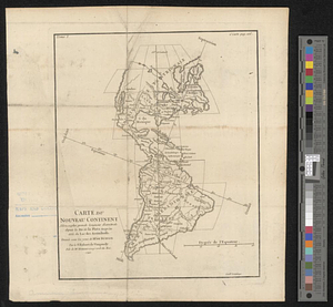
Carte du nouveau continent selon sa plus grande longueur diamètrale depuie la riv'. de la Plata jusqu'au delà du lac des...
884.
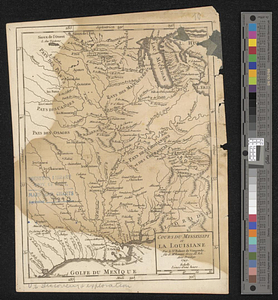
Cours du Mississipi et la Louisiane
885.
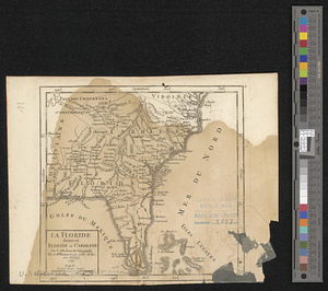
La Floride divisée en Floride et Caroline
886.
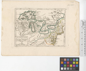
Les lacs du Canada et Nouvelle Angleterre
887.
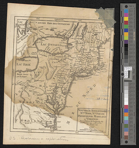
Nouvelle Angleterre, Nlle. York, Nlle. Jeersey, Pensilvanie, Mariland et Virginie
888.
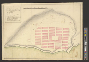
A plan of the town of Halifax in Nova Scotia August 1749
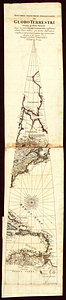
889.
Specimen trigesimae sextae partis ex globo terrestri trium pedum Parisin cujus nec non globi Coelestis constructio addito...
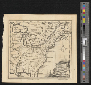
890.
A map of the French settlements in North America
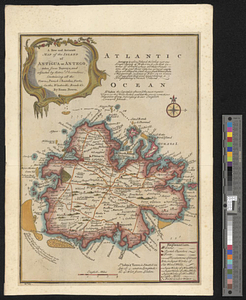
891.
A new and accurate map of the island of Antigua or Antego, taken from surveys and adjusted by astronl. observations, containing...
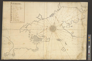
892.
Louisbourg, latitude 45⁰ 50' north
893.
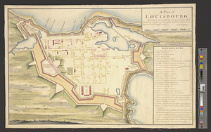
A plan of Louisbourg : intended only to shew by strong red the publick buildings lately erected; and by the faint red such as...
894.
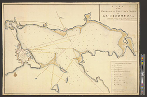
Plan of the harbour and fortifications of Louisbourg : the harbour survey'd by Capt. Phillip Durell: the town and...
895.
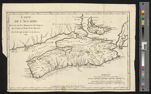
Carte de l'Accadie : dressée sur les manuscrits de Dépot des Cartes et Plans de la Marine
896.
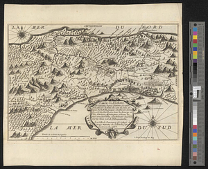
Carte de l'isthme de Panama depuis Panama jusques à la rivière de Nata du coté du sud, et depuis Porto Bello, jusques à la...
897.
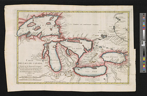
Carte des lacs du Canada dressée sur les manuscrits du Depost des Cartes, Plans et Journaux de la Marine et sur le journal du...
898.
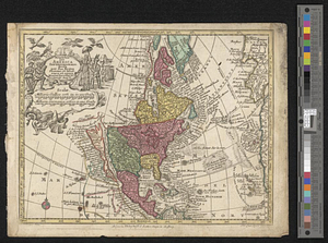
Nova orbis sive America Septentrionalis per sua regna provinc. et insul. cura et opera
899.
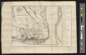
Plan de la ville de Québec
900.
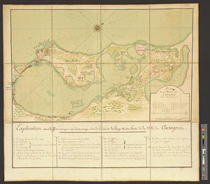
Plan de la baye de Cartagene dans l'Amérique
« Previous
Next »
1
2
…
41
42
43
44
45
46