Toggle navigation
LMEC Home
Collections
My Favorites
Exhibitions
Georeferencing
Tools for Teachers
Sign Up / Log In
Search
Search the map portal
Search
Search
Search for
Search in
All Fields
Title
Subject
Place
Creator
Search All Digital Collections
Advanced Search
943 Results
Search Constraints
My Search
Start Over
More like
commonwealth-oai:2b88vb25x
Remove constraint More like: commonwealth-oai:2b88vb25x
Filter your Search
Show filters
Hide filters
Place
North and Central America
917
United States
655
Canada
205
New York
194
Quebec
111
Pennsylvania
61
New Jersey
58
Massachusetts
53
more
Place
»
Topic
United States--History--Revolution, 1775-1783--Maps
330
United States--History--French and Indian War, 1754-1763--Maps
149
Saint Lawrence River--Maps
43
Newport (R.I.)--Maps
27
Charleston (S.C.)--Maps
25
New York (State)--Maps
24
Hudson River (N.Y. and N.J.)--Maps
21
Québec (Québec)--Maps
21
more
Topic
»
Creator
Rocque, Mary Ann
29
Holland, Samuel, 1728-1801
25
Jefferys, Thomas, -1771
25
Montrésor, John, 1736-1799
25
Bellin, Jacques Nicolas, 1703-1772
24
Clinton, Henry, Sir, 1738?-1795
18
Robert Sayer and John Bennett (Firm)
16
Hills, John, active 1777-1819
13
more
Creator
»
Format
Maps/Atlases
927
Drawings/Illustrations
11
Documents
5
Manuscripts
4
Prints
1
Georeferenced
Yes
6
No
937
Collection
American Revolutionary War-Era Maps
933
William L. Clements Library Collection
909
Norman B. Leventhal Map & Education Center Collection
12
Maps from AAS
9
Boston and New England Maps
5
MacLean Collection Map Library
3
Newberry Library Collection
3
Urban Maps
3
more
Collection
»
Available to use
No known restrictions
14
Creative Commons license
4
Sort
by recently added
relevance
title
date (asc)
date (desc)
recently added
Number of results to display per page
50
per page
per page
10
per page
20
per page
50
per page
100
per page
Search Results
1.
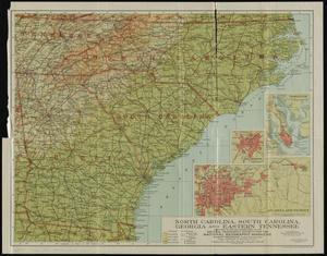
North Carolina, South Carolina, Georgia and eastern Tennessee
2.
Various Plans and Draughts of Cities, Towns, Harbours &c
3.
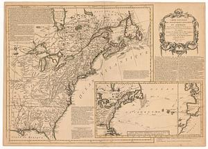
Carte nouvelle des posséssions angloises en Amérique dressée pour l'intelligence de la guerre présente et divisée suivant les...
4.
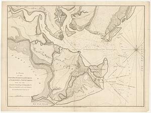
A plan of the town, bar, harbour and environs, of Charlestown in South Carolina, with all the channels, soundings,...
5.
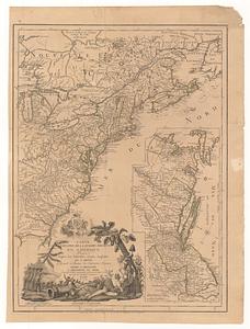
Carte du theatre de la guerre presente en Amerique
6.
Atlas to Marshall's life of Washington
7.
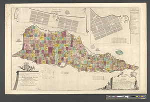
Tilforladelig kort over eylandet St. Croix udi America : saaledes som det ved en acurat udmaaling er befunden met quarterernes...
8.
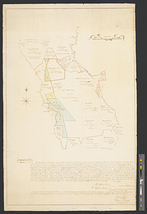
A Map of lot number four In The Division of Macomb's purchase
9.
To his excellency General Washington, commander in chief of the armies of the United States of America : this plan of the...
10.
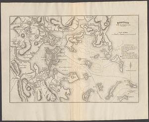
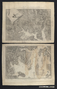
A plan of Boston in New England with its environs, including Milton, Dorchester, Roxbury, Brooklin, Cambridge, Medford,...
11.
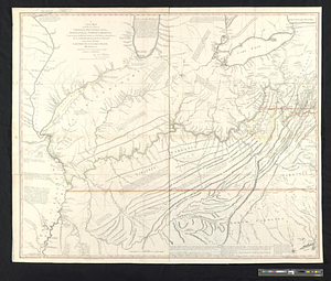
A new map of the western parts of Virginia, Pennsylvania, Maryland and North Carolina; comprehending the river Ohio, and all...
12.
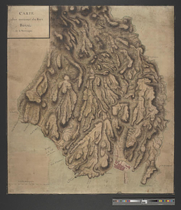
Carte des environs du Fort Royal de la Martinique
13.
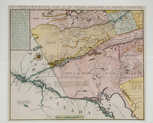
A chorographical map of the northern department of North-America : drawn from the latest and most accurate observations
14.
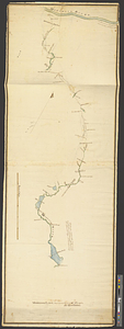
A plan and section of the two routs in Woburn, say 1795 : Middlesex Canal
15.
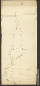
A plan & section of a survey taken April 20, 1801 on a new prepared course for the Middlesex Canal, from the south end of...
16.
Plat of lands at Paulus Hook, New Jersey
17.
Map of a part of no. four, of no. 1 & 2 of no. 3 and of a part of Hague and Cambray
18.
Jamaica Is; Middlesex : the above diagram shows the fixing of sundry plats of land on Teak Savanna Mountains, in the parish of...
19.
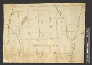
Subdivision of lot no. 12 in the Good Beer Kill tract : performed this 4th day of Octr. 1797
20.
A plan of the survey made by, & under the direction of Augustus Porter upon the Connecticut Reserve for the Connecticut Land...
21.
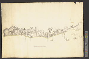
Southwest coast of St. Vincent
22.
Middlesex Canal : copy'd from the survey of Mr. Thompson
23.
A plan of two routs propose for the Middlesex Canal, in which Mistic River, ponds &c, as far up as Symmes's, are copied from...
24.
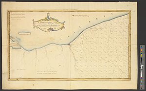
Maumee Bay
25.
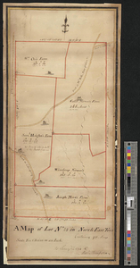
A map of lot no 24 in North East Town containing 911 acres : as surveyd in 1794 by Alexr. Thompson
26.
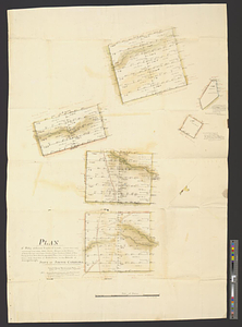
Plan of fifty different tracts of land, (of 1000 acres each) containing in the whole 50,000 acres, situate on the waters of...
27.
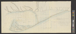
Copy of a plan of York harbour with the soundings, shoals &c. surveyed by order of Lt Governor Simcoe
28.
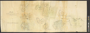
Plan of ten different tracts of land, containing in the whole 20.089 acres, situate partly, in districts of 96, Camden, &...
29.
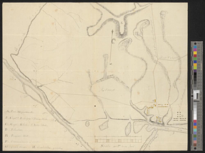
Plan of Fort Massachusetts in Georgia and the country adjacent - 1792
30.
Plan of Fort Massachusetts - Rocklanding - 1792
31.
Plano del archipielago de Carrasco situado en la latd. N de 48 [degrees] 51', lond. 2 [degrees] al o. de sn. Blas reconocido el...
32.
Plano del puerto de Gaston situado en la latitude N de 53 [degrees] 28' longd 24 [degrees] 21 al o de S. Blas descubierto este ano
33.
Plano del puerto de Floridablanca situado en la latd. N. de 54 [degrees] 16' longitud 28 [degrees] 15' al o de S. Blas...
34.
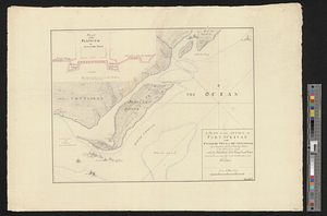
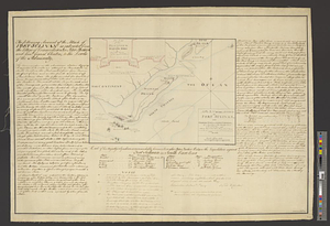
A plan of the attack of Fort Sullivan near Charles Town in South Carolina by a squadron of his majesty's ships on the 28th of...
35.
A plan of the attack of Fort Sullivan, near Charles Town in South Carolina, by a squadron of his majesty's ships on the 28th of...
36.
Rough Scetch of the King's Domain at Detroit
37.
Posts of the Hudson's Bay Company 1790
38.
Lands west of the Mississippi, 1750
39.
North America east of the Mississippi, ca. 1790
40.
Coast of Senegal
41.
A map of lot no. 4 in the Hardenbergh Patent : surveyed and run into lots AD 1788 at the request of John R. Livingston esqr.
42.
Plan of the estates of Admiral Sr. Jas. Douglas bart. called Douglas & Ravenscroft, and the estate of Robert Harvey esqr....
43.
Part of the state of Pennsylvania : to the honble. Josiah Harmar esqr. brigdr. genl. & lt. col. commdg. 1st U.S. Regt.
44.
North Atlantic Ocean, ca. 1785
45.
Draught of a tract of land situate in Bucks County, in the Commonwealth of Pennsylvania divided in three parts, called...
46.
Jamaica Is. in the above scheme is represented the fixing sundry parcels of land situate between the Rio Mino and the Thomas's...
47.
This map of Kentucke, drawn from actual observations ...
48.
Survey of the wharf lots lying between Broad and Queen streets, to ascertain the line, between Mr. Samuel Prideau junior & Mr....
49.
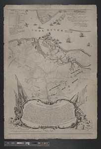
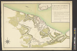
Carte des environs de York en Virginie avec les attaques et la position des armées Françoise et Américaine devant cette place...
50.
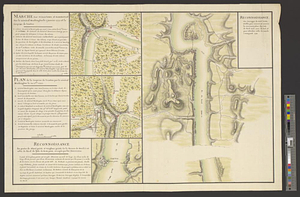
Reconnoissance des ouvrages de Ouët Point : etablis pour couvrir et assurer la communication des états du nord avec ceux du...
« Previous
Next »
1
2
3
4
5
…
18
19