Toggle navigation
LMEC Home
Exhibitions
Georeferencing
Tools for Teachers
Collections
My Favorites
Sign Up / Log In
Search
Search the map portal
Map Collection
Map Collection
Map Sets
Search
Search
Search for
Search In
All Fields
Creator
Title
Subject
Place
Search All Digital Collections
Advanced Search
85 Results
My Search
Start Over
More Like
commonwealth:z603vq305
Remove constraint More Like: commonwealth:z603vq305
Filter your Search
Place
North and Central America
39
North America
35
United States
25
New Jersey
8
New York
7
Vermont
7
Northeastern United States
6
Middle Atlantic
5
more
Place
»
Topic
North America--Maps--Early works to 1800
27
United States--Maps--Early works to 1800
14
Great Britain--Colonies--America--Maps--Early works to 1800
9
New Jersey--Maps--Early works to 1800
7
North America--Maps
7
Vermont--Maps--Early works to 1800
7
Northeastern States--Maps--Early works to 1800
6
British--America--Maps--Early works to 1800
5
more
Topic
»
Date
Date range begin
–
Date range end
Current results range from
1744
to
1899
View distribution
Creator
Kitchin, Thomas, 1718-1784
6
Lodge, John, -1796
6
Faden, William, 1749-1836
5
Gibson, J. (John), active 1750-1792
5
Hinton, John, -1781
5
Russell, John, active 1733-1795
5
Anville, Jean Baptiste Bourguignon d', 1697-1782
4
Jefferys, Thomas, -1771
4
more
Creator
»
Format
Maps/Atlases
85
Manuscripts
1
Georeferenced
Yes
8
No
77
Collection
American Revolutionary War-Era Maps
85
New York Public Library Collection
77
Norman B. Leventhal Map Center Collection
3
Richard H. Brown Revolutionary War Map Collection at Mount Vernon
2
Boston and New England Maps
1
British Library Collection
1
Harvard Map Collection
1
Newberry Library Collection
1
Available to use
Creative Commons license
81
No known restrictions
3
Search Constraints
Sort by date (asc)
relevance
title
date (asc)
date (desc)
Number of results to display per page
20 per page
10
per page
20
per page
50
per page
100
per page
View results as:
grid view
map view
Search Results
1.
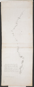
Plan of Part of Black River & Part of Otter Creek with the Distances by Computation
2.
Nova tabula geographica complectens borealiorem Americae partem : in qua exacte delineatae sunt Canada sive Nova Francia, Nova...
3.
A map of Philadelphia and parts adjacent
4.
Mappa geographica Americae Septentrionalis : ad emendatiora exemplaria adhuc edita jussu Acad. reg. scient. et eleg. litt....
5.
Canada, Louisiane et terres angloises
6.
Canada, Louisiane et terres angloises
7.
Canada, Louisiane et terres angloises
8.
Carte générale de l'Amérique séptentrionale : avec les posséssions Angloises dans cette partie du nouveau monde
9.
A Map of the British and French settlements in North America : (part the second) containing part of New York, Pensilvania, New...
10.
A Map of the British and French settlements in North America
11.
A Map of the British and French settlements in North America
12.
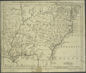
A map of Virginia, North and South Carolina, Georgia, Maryland : with part of New Jersey &c
13.
A general map of the middle British colonies in America : Viz. Virginia, Maryland, Delaware, Pensilvania, New-Jersey, New-York,...
14.
A new and accurate map of the English empire in North America : representing their rightful claim as confirm'd by charters, and...
15.
An accurate map of Canada, with the adjacent countries : exhibiting the late seat of war between the English & French in those...
16.
An accurate map of the British, French & Spanish settlements in Nth. America and the West Indies : as stipulated by the...
17.
Carta della Nuova Inghilterra, Nuova Yorc, e Pensilvania
18.
[Map of Spanish Louisiana and the American colonies]
19.
[Map of Spanish Louisiana and the American colonies]
20.
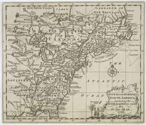
A New & accurate map of North America : including the British acquisitions gained by the late war, 1763
‹ Prev
Next ›
1
2
3
4
5


![[Map of Spanish Louisiana and the American colonies]](https://bpldcassets.blob.core.windows.net/derivatives/images/commonwealth:z603vq85r/image_thumbnail_300.jpg)
![[Map of Spanish Louisiana and the American colonies]](https://bpldcassets.blob.core.windows.net/derivatives/images/commonwealth:z603vp210/image_thumbnail_300.jpg)