Toggle navigation
LMEC Home
Exhibitions
Georeferencing
Tools for Teachers
Collections
My Favorites
Sign Up / Log In
Search
Search the map portal
Map Collection
Map Collection
Map Sets
Search
Search
Search for
Search In
All Fields
Creator
Title
Subject
Place
Search All Digital Collections
Advanced Search
140 Results
My Search
Start Over
More Like
commonwealth:z603vm87p
Remove constraint More Like: commonwealth:z603vm87p
Filter your Search
Place
North and Central America
116
United States
69
Canada
12
San Juan
8
Florida
7
Mississippi
7
Añasco
6
Boston Harbor
6
more
Place
»
Topic
Manuscript maps--Early works to 1800
138
Añasco (P.R.)--Maps--Early works to 1800
6
Coasts--Florida--Maps--Early works to 1800
6
Coasts--Puerto Rico--Añasco--Maps--Early works to 1800
6
Coasts--Puerto Rico--Mayagüez--Maps--Early works to 1800
6
Mayagüez (P.R.)--Maps--Early works to 1800
6
San Juan (P.R.)--Maps, Manuscript--Early works to 1800
6
Aguadilla (P.R.)--Maps--Early works to 1800
5
more
Topic
»
Date
Date range begin
–
Date range end
Current results range from
1700
to
1899
View distribution
Creator
Dumont de Montigny
14
Adlum, John, 1759-1836
9
Bingham, William, 1752-1804
9
De Brahm, John Gerar William, 1717-approximately 1799
4
Real Escuela de Navegación (Cádiz, Spain)
4
Dampierre, chevalier de, fl. 1756
2
Finlay, Hugh, 1732-1801
2
Hamecourt, P. M. d', fl. 1772
2
more
Creator
»
Format
Maps/Atlases
140
Manuscripts
139
Georeferenced
Yes
2
No
138
Collection
American Revolutionary War-Era Maps
135
Library of Congress Collection
97
Newberry Library Collection
39
Maritime Charts and Atlases
17
Urban Maps
8
Boston and New England Maps
4
Norman B. Leventhal Map Center Collection
4
Available to use
Creative Commons license
97
No known restrictions
4
Search Constraints
Sort by relevance
relevance
title
date (asc)
date (desc)
Number of results to display per page
20 per page
10
per page
20
per page
50
per page
100
per page
View results as:
grid view
map view
Search Results
1.
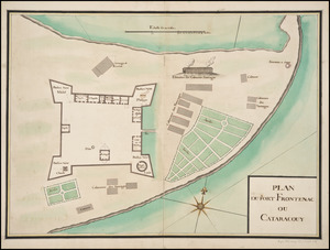
Plan du Fort Frontenac ou Cataracouy
2.
Carte de la rivire du Cannada, la Terre Nevf, Cape Britton et la cotte de Lacadie
3.
Plan du port et de la ville de Louisbourg : avec ses batteries et sa perspective, où est réprésenté les batteries faites...
4.
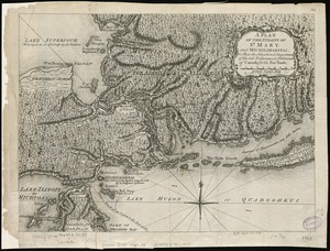
A plan of the Straits of St. Mary, and Michilimakinac, to shew the situation & importance of the two westernmost settlements of...
5.
A map of the country in which the army under Lt. General Burgoyne acted in the campaign of 1777 : shewing the marches of the...
6.
1. Prise de Newport par d'Estaing, 1778 : 2. Embossage de Ternay à Newport, 1780
7.
20 tracts, Charleston
8.
Amerique Septentrionale : Acadie ou Nouvelle Ecosse aux anglois : Annapolis Royal
9.
Armstrong County
10.
Barbadoes
11.
Boston & harbour
12.
Boston Harbor, Massachusetts
13.
[Boston Harbour, with the surroundings, &c]
14.
Boston, its environs and harbour : with the rebels works raised against that town in 1775
15.
Boston, S. West part : No. 25
16.
Campement de l'armée à Tombecbe
17.
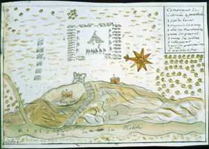
[Campement] de l'armée franc̦oise [devant u]n village des ennemis, les Chicachas le 26 [de mais] 1736
18.
Cantonment of His Majesty's forces in N. America : according to the disposition now made & to be compleated as soon as...
19.
Cantonment of the forces in North America 11th. Octr. 1765
20.
Carta esférica de la canal entre Puerto Rico y Santo Domingo
‹ Prev
Next ›
1
2
3
4
5
6
7


![[Boston Harbour, with the surroundings, &c]](https://bpldcassets.blob.core.windows.net/derivatives/images/commonwealth:t722hs94d/image_thumbnail_300.jpg)


![[Campement] de l'armée franc̦oise [devant u]n village des ennemis, les Chicachas le 26 [de mais] 1736](https://bpldcassets.blob.core.windows.net/derivatives/images/commonwealth:z603vn65v/image_thumbnail_300.jpg)


