Search Constraints
Search Results


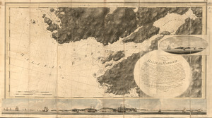
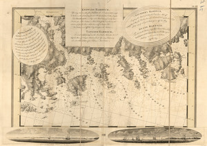
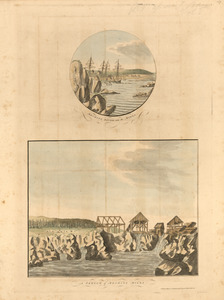
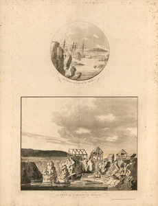
11. Annapolis Royal


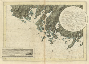
15. Barrington Bay
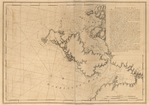
16. Barrington Bay
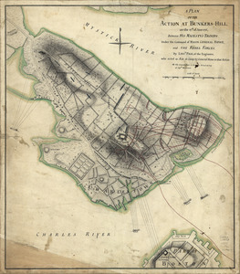
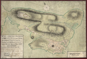
![[Battle of Bunker Hill]](https://bpldcassets.blob.core.windows.net/derivatives/images/commonwealth:z603vj11x/image_thumbnail_300.jpg)
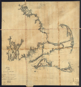
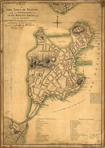
![[Boston Harbour, with the surroundings, &c]](https://bpldcassets.blob.core.windows.net/derivatives/images/commonwealth:t722hs94d/image_thumbnail_300.jpg)


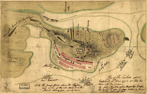
![[Bunker Hill--rough sketch]](https://bpldcassets.blob.core.windows.net/derivatives/images/commonwealth:z603vj151/image_thumbnail_300.jpg)


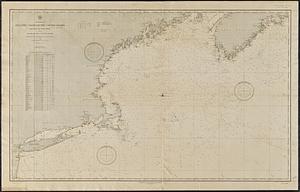
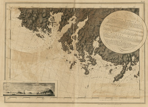
23. Canso Harbor
24. Canso Harbor


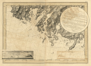
30. Charlotte Bay


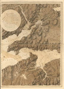
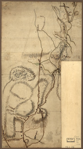
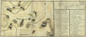
![[Chignecto Bay and vicinity]](https://bpldcassets.blob.core.windows.net/derivatives/images/commonwealth:z603vj91v/image_thumbnail_300.jpg)
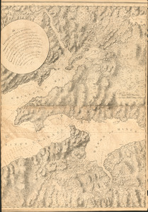
![[Chignecto Bay and vicinity]](https://bpldcassets.blob.core.windows.net/derivatives/images/commonwealth:z603vj878/image_thumbnail_300.jpg)
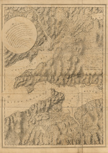
![[Chignecto Bay and vicinity]](https://bpldcassets.blob.core.windows.net/derivatives/images/commonwealth:z603vj89t/image_thumbnail_300.jpg)
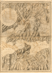
![[Chignecto Bay and vicinity]](https://bpldcassets.blob.core.windows.net/derivatives/images/commonwealth:z603vj85q/image_thumbnail_300.jpg)


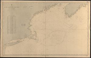
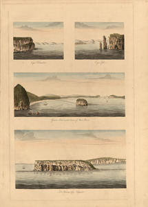
40. Egmont Harbor

41. Egmont Harbor


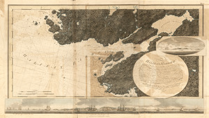
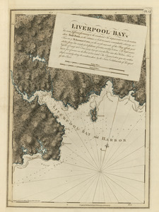
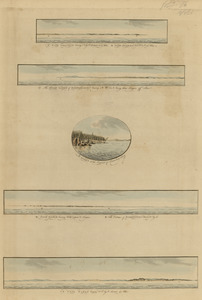
61. Liverpool Bay
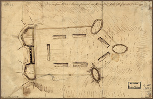


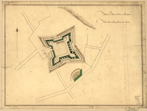
![A Plan oe [i.e. of] the British lines on Boston Neck in August 1775](https://bpldcassets.blob.core.windows.net/derivatives/images/commonwealth:z603vj41n/image_thumbnail_300.jpg)

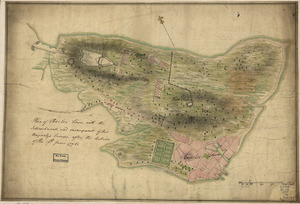

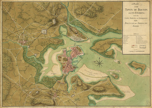
![[Plan of the Neck and environs]](https://bpldcassets.blob.core.windows.net/derivatives/images/commonwealth:z603vj436/image_thumbnail_300.jpg)
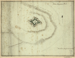
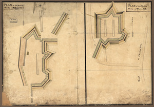
![[Plan of the "Neck" and fortifications]](https://bpldcassets.blob.core.windows.net/derivatives/images/commonwealth:z603vj23q/image_thumbnail_300.jpg)

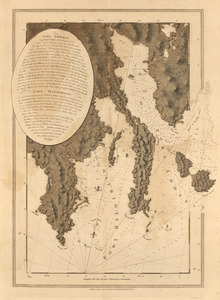
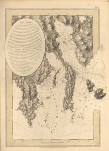
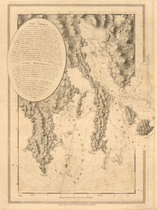
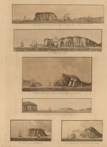
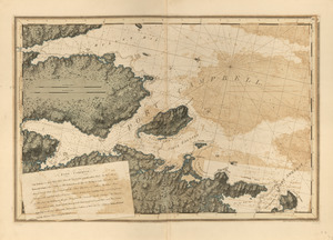
92. Port Campbell
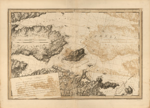
93. Port Campbell
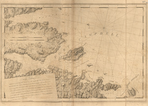
94. Port Campbell
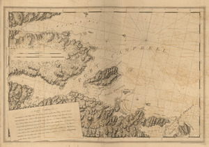
95. Port Campbell
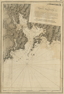
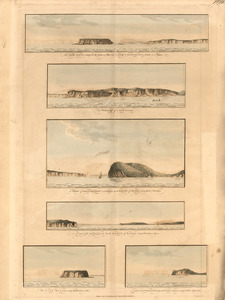
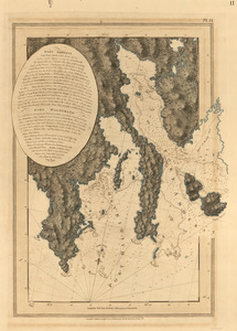
96. Port Jackson
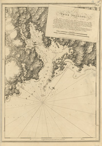
97. Port Jackson
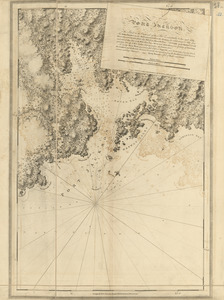
98. Port Jackson