Toggle navigation
LMEC Home
Collections
My Favorites
Exhibitions
Georeferencing
Tools for Teachers
Sign Up / Log In
Search
Search the map portal
Search
Search
Search for
Search in
All Fields
Title
Subject
Place
Creator
Search All Digital Collections
Advanced Search
133 Results
Search Constraints
My Search
Start Over
More like
commonwealth:z603vh41f
Remove constraint More like: commonwealth:z603vh41f
Filter your Search
Show filters
Hide filters
Place
North and Central America
131
United States
126
New England
94
Middle Atlantic
37
Canada
19
Massachusetts
15
New York
12
Northeastern United States
12
more
Place
»
Topic
New England--Maps--Early works to 1800
97
Middle Atlantic States--Maps--Early works to 1800
40
Northeastern States--Maps--Early works to 1800
12
New York (State)--Maps--Early works to 1800
10
Canada--Maps--Early works to 1800
7
Maritime Provinces--Maps--Early works to 1800
7
New Jersey--Maps--Early works to 1800
7
North America--Maps--Early works to 1800
7
more
Topic
»
Creator
Jefferys, Thomas, -1771
8
Jefferys, Thomas, d. 1771
8
Bowles, Carington, 1724-1793
5
Sayer, Robert, 1725-1794
5
Green, John, d. 1757
4
Lotter, Tobias Conrad, 1717-1777
4
Robert Sayer and John Bennett (Firm)
4
Southack, Cyprian, 1662-1745
4
more
Creator
»
Format
Maps/Atlases
133
Manuscripts
4
Georeferenced
Yes
20
No
113
Collection
American Revolutionary War-Era Maps
81
Norman B. Leventhal Map & Education Center Collection
72
Boston and New England Maps
31
Mapping Boston Collection
24
Boston Athenaeum, Cartographic Collection
15
Sidney R. Knafel Map Collection at Phillips Academy
15
Maritime Charts and Atlases
13
MacLean Collection Map Library
8
more
Collection
»
Available to use
Creative Commons license
52
No known restrictions
49
Sort
by date (asc)
relevance
title
date (asc)
date (desc)
recently added
Number of results to display per page
20
per page
per page
10
per page
20
per page
50
per page
100
per page
Search Results
1.
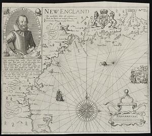
New England : die mercklichsten dheile, also genennet durch den durchl: und mechtigen Prinzen und h.h. Carolus, Prinzen von...
2.
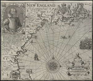
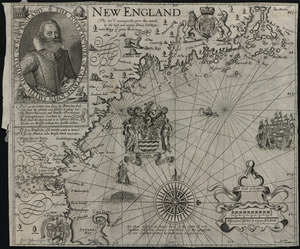
New England : the most remarqueable parts thus named by the high and mighty Prince Charles, prince of great Britaine
3.
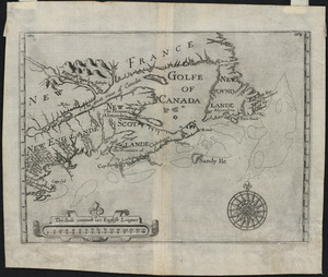
New France, New Englande, New Scotlande, and New Foundlande
4.
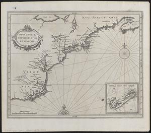
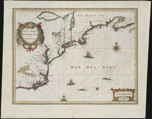
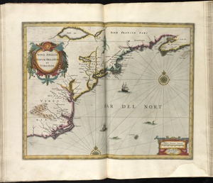
Nova Anglia, Novum Belgium et Virginia
5.
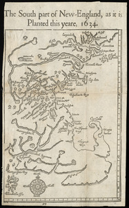
The south part of New England as it planted this yeare, 1634
6.
New England : the most remarqueable parts thus named by the high and mighty Prince Charles, nowe King of great Britaine
7.
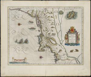
Nova Belgica et Anglia Nova
8.
Noua Anglia, Nouum Belgium, et Virginia
9.
Nova Anglia Novum Belgium et Virginia
10.
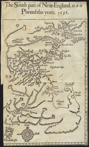
The south part of New England, as it planted this yeare, 1639
11.
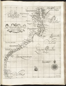
Carta particolare della costa di Florida è di Virginia
12.
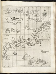
Carta particolare della nuoua Belgia è parte della nuoua Anglia
13.
Nova Belgica et Anglia Nova
14.
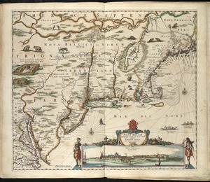
Belgii Novi, Angliae Novae, et partis Virginiae : novissima delineatio
15.
Novi Belgii, Novaeque Angliae nec non partis Virginiae tabula
16.
Novi Belgii Novaeqve Angliae nec non partis Virginiae Tabula
17.
Noui Belgii Nouaeque Angliae nec non partis Virginiae tabula
18.
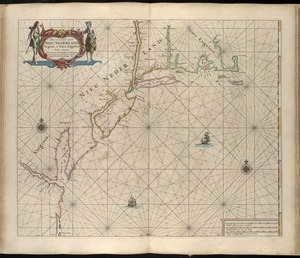
Pas caert van Nieu Nederland, Virginia en Nieu Engelant
19.
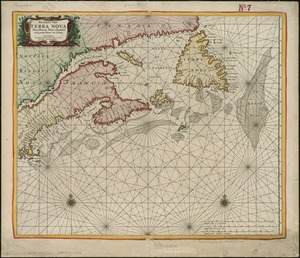
Pas-caert van Terra Nova, Nova Francia, Nieuw-Engeland en de groote rivier van Canada
20.
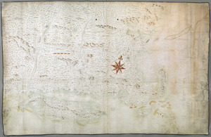
A chart of the province of New England, with the soundings on the coast; drawn about 1670, on a scale of 1 2/3 English league...
« Previous
Next »
1
2
3
4
5
6
7