Toggle navigation
LMEC Home
Collections
My Favorites
Exhibitions
Georeferencing
Tools for Teachers
Sign Up / Log In
Search
Search the map portal
Search
Search
Search for
Search in
All Fields
Title
Subject
Place
Creator
Search All Digital Collections
Advanced Search
220 Results
Search Constraints
My Search
Start Over
More like
commonwealth:z603vg549
Remove constraint More like: commonwealth:z603vg549
Filter your Search
Show filters
Hide filters
Place
North and Central America
197
United States
117
North America
94
Canada
26
West Indies
19
Massachusetts
16
New York
12
Boston
10
more
Place
»
Topic
North America--Maps
98
United States--Maps
31
West Indies--Maps
20
Canada--Maps
19
Boston (Mass.)--Maps
9
New England--Maps
9
New York (State)--Maps
9
Indians of North America--Pictorial works
8
more
Topic
»
Creator
Reid, John, 1764?-1828
12
Bellin, Jacques Nicolas, 1703-1772
9
Farwell, John Whittemore, 1843-1929
9
Kitchin, Thomas, 1719-1784
9
Anville, Jean Baptiste Bourguignon d', 1697-1782
8
Gibson, J. (John), active 1750-1792
7
Jefferys, Thomas, -1771
7
Carleton, Osgood, 1742-1816
6
more
Creator
»
Format
Maps/Atlases
217
Manuscripts
12
Books
3
Georeferenced
Yes
23
No
197
Collection
American Revolutionary War-Era Maps
177
Maps from AAS
138
Norman B. Leventhal Map & Education Center Collection
42
Osher Map Library Collection
12
William L. Clements Library Collection
12
New York Public Library Collection
9
MacLean Collection Map Library
6
Boston and New England Maps
1
more
Collection
»
Available to use
No known restrictions
42
Creative Commons license
11
Sort
by relevance
relevance
title
date (asc)
date (desc)
recently added
Number of results to display per page
20
per page
per page
10
per page
20
per page
50
per page
100
per page
Search Results
61.
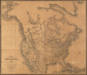
Map of North America from 20 to 80 degrees north latitude : exhibiting the recent discoveries, geographical and nautical; drawn...
62.
[Map of Spanish Louisiana and the American colonies]
63.
[Map of Spanish Louisiana and the American colonies]
64.
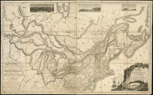
Map of the provinces of upper & lower Canada with the adjacent parts of the United States of America, &c
65.
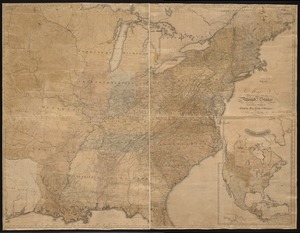
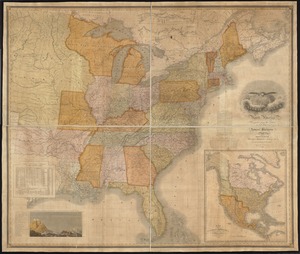
Map of the United States : intending chiefly to exhibit the post roads & distances
66.
Map of the United States in North America : with the British, French, and Spanish Dominions adjoining, according to the Treaty...
67.
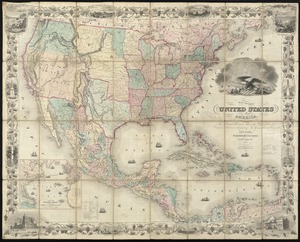
Map of the United States of America, the British provinces, Mexico, the West Indies and Central America, with part of New...
68.
Map of the United States of America, the British Provinces, Mexico, the West Indies and Central America, with part of New...
69.
Map of the United States of North America
70.
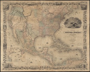
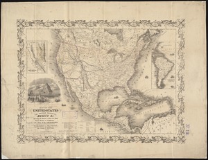
Map of the United States, the British provinces, Mexico, &c : showing the routes of the U.S. Mail steam packets to California,...
71.
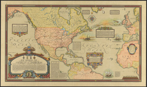
Map showing the overland and overseas flights of Charles A. Lindbergh
72.
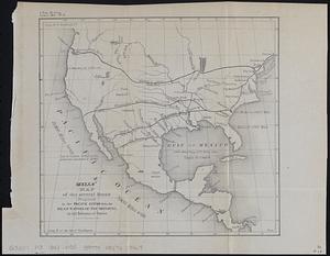
Mills map of the several routes proposed to the Pacific Ocean from the head waters of the Missouri, to the Isthmus of Darien
73.
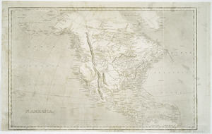
N. America
74.
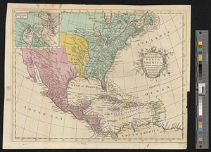
A new and accurate map of North America laid down according to the latest and most approved observations, and discoveries
75.
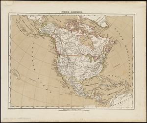
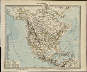
Nord America
76.
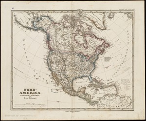
Nord-America
77.
Nord-Amerika
78.
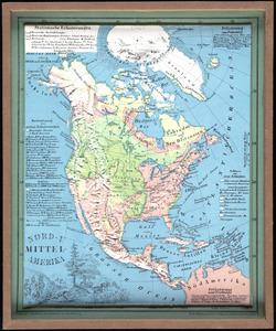
Nord-u. Mittel-Amerika
79.
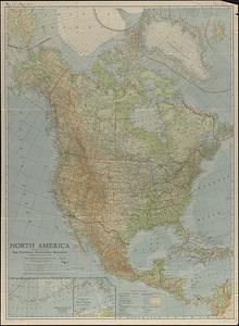
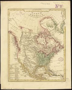
North America
80.
North America
« Previous
Next »
1
2
3
4
5
6
7
8
…
10
11