Toggle navigation
LMEC Home
Exhibitions
Georeferencing
Tools for Teachers
Collections
My Favorites
Sign Up / Log In
Search
Search the map portal
Map Collection
Map Collection
Map Sets
Search
Search
Search for
Search In
All Fields
Creator
Title
Subject
Place
Search All Digital Collections
Advanced Search
8743 Results
My Search
Start Over
More Like
commonwealth:xg94j203c
Remove constraint More Like: commonwealth:xg94j203c
Filter your Search
Place
North and Central America
5,971
United States
4,891
Massachusetts
2,079
Europe
1,396
Suffolk (county)
1,046
Boston
1,019
Canada
462
Asia
438
more
Place
»
Topic
Boston (Mass.)--Maps
586
United States--Maps
330
Real property--Massachusetts--Boston--Maps
175
Massachusetts--Maps
162
Landowners--Massachusetts--Boston--Maps
133
North America--Maps--Early works to 1800
103
New England--Maps
102
Europe--Maps
79
more
Topic
»
Date
Date range begin
–
Date range end
Current results range from
1482
to
2023
View distribution
Creator
United States. Hydrographic Office
595
O.H. Bailey & Co
148
Des Barres, Joseph F. W. (Joseph Frederick Wallet), 1722-1824
123
United States. Post Office Dept
120
Ptolemy, 2nd cent
100
Walling, Henry Francis, 1825-1888
94
Geological Survey (U.S.)
87
Jefferys, Thomas, -1771
85
more
Creator
»
Format
Maps/Atlases
8,683
Manuscripts
215
Prints
56
Books
36
Objects/Artifacts
10
Drawings/Illustrations
8
Posters
5
Georeferenced
Yes
870
No
7,873
Collection
Norman B. Leventhal Map & Education Center Collection
8,700
Boston and New England Maps
2,233
Urban Maps
2,023
Maritime Charts and Atlases
1,083
American Revolutionary War-Era Maps
657
Boston Redevelopment Authority Collection
87
Maps from AAS
20
William L. Clements Library Collection
13
more
Collection
»
Available to use
No known restrictions
8,556
Creative Commons license
50
Search Constraints
Sort by relevance
relevance
title
date (asc)
date (desc)
Number of results to display per page
20 per page
10
per page
20
per page
50
per page
100
per page
View results as:
grid view
map view
Search Results
4081.
A map of such parts of Georgia and South Carolina as tend to illustrate the progress and operations of the British Army, &c
4082.
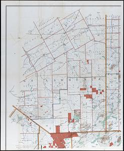
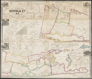
Map of Suffolk Co., L.I., New York : from actual surveys
4083.
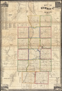
Map of Summit Co., Ohio
4084.
Map of Surf-Side, the property of the Nantucket Surf-Side Company
4085.
Map of Swampscott, Nahant & Saugus
4086.
Map of Syria in the IV-V-VI centuries
4087.
Map of Taunton
4088.
Map of Tennessee
4089.
A map of Terra Firma Peru, Amazone-land, Brasil & the north p[art] of La Plata
4090.
Map of Texas and parts of adjoining territories
4091.
Map of Texas and the country adjacent
4092.
Map of that part of Hannover where the late battle between the Duke of Cumberland and Marshal D'Etrees was fought July 25, 26, 27
4093.
Map of that part of the mineral lands adjacent to Lake Superior, ceded to the United States by the treaty of 1842 with the...
4094.
Map of that portion of the Department of the Platte and adjacent territory west of the 103rd meridian
4095.
Map of that section of the town of Nantucket, which was destroyed by the fire on the night of the 13th July, 1846
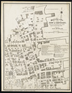
4096.
Map of the Adirondack Forest and adjoining territory
4097.
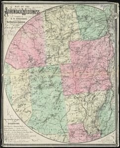
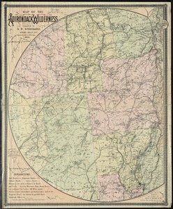
Map of the Adirondack wilderness
4098.
Map of the Adirondack wilderness
4099.
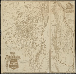
Map of the Adirondacks, as reached by the Delaware and Hudson Canal Companys Railroad ; Map of Lake George
4100.
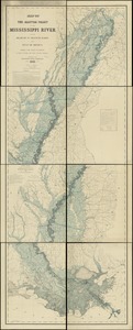
Map of the alluvial valley of the Mississippi River from the head of St. Francis Basin to the Gulf of Mexico, showing lands...
‹ Prev
Next ›
1
2
…
201
202
203
204
205
206
207
208
209
…
437
438


![A map of Terra Firma Peru, Amazone-land, Brasil & the north p[art] of La Plata](https://bpldcassets.blob.core.windows.net/derivatives/images/commonwealth:xg94j123n/image_thumbnail_300.jpg)