Toggle navigation
LMEC Home
Exhibitions
Georeferencing
Tools for Teachers
Collections
My Favorites
Sign Up / Log In
Search
Search the map portal
Map Collection
Map Collection
Map Sets
Search
Search
Search for
Search In
All Fields
Creator
Title
Subject
Place
Search All Digital Collections
Advanced Search
8743 Results
My Search
Start Over
More Like
commonwealth:xg94j203c
Remove constraint More Like: commonwealth:xg94j203c
Filter your Search
Place
North and Central America
5,971
United States
4,891
Massachusetts
2,079
Europe
1,396
Suffolk (county)
1,046
Boston
1,019
Canada
462
Asia
438
more
Place
»
Topic
Boston (Mass.)--Maps
586
United States--Maps
330
Real property--Massachusetts--Boston--Maps
175
Massachusetts--Maps
162
Landowners--Massachusetts--Boston--Maps
133
North America--Maps--Early works to 1800
103
New England--Maps
102
Europe--Maps
79
more
Topic
»
Date
Date range begin
–
Date range end
Current results range from
1482
to
2023
View distribution
Creator
United States. Hydrographic Office
595
O.H. Bailey & Co
148
Des Barres, Joseph F. W. (Joseph Frederick Wallet), 1722-1824
123
United States. Post Office Dept
120
Ptolemy, 2nd cent
100
Walling, Henry Francis, 1825-1888
94
Geological Survey (U.S.)
87
Jefferys, Thomas, -1771
85
more
Creator
»
Format
Maps/Atlases
8,683
Manuscripts
215
Prints
56
Books
36
Objects/Artifacts
10
Drawings/Illustrations
8
Posters
5
Georeferenced
Yes
870
No
7,873
Collection
Norman B. Leventhal Map & Education Center Collection
8,700
Boston and New England Maps
2,233
Urban Maps
2,023
Maritime Charts and Atlases
1,083
American Revolutionary War-Era Maps
657
Boston Redevelopment Authority Collection
87
Maps from AAS
20
William L. Clements Library Collection
13
more
Collection
»
Available to use
No known restrictions
8,556
Creative Commons license
50
Search Constraints
Sort by relevance
relevance
title
date (asc)
date (desc)
Number of results to display per page
20 per page
10
per page
20
per page
50
per page
100
per page
View results as:
grid view
map view
Search Results
4041.
Map of Providence County, Rhode Island, with some of the adjacent towns
4042.
Map of Providence, Rhode Island
4043.
Map of public transportation routes in Greater Boston served by the Massachusetts Bay Transportation Authority comprising 64...
4044.
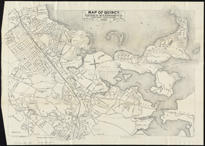
Map of Quincy
4045.
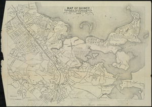
Map of Quincy
4046.
Map of Quincy
4047.
Map of Quincy
4048.
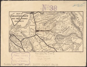
Map of rail & stage route to Big Tree Groves and Yosemite
4049.
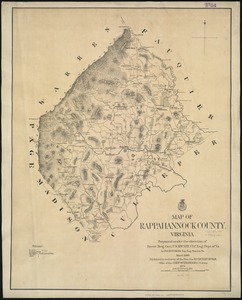
Map of Rappahannock County, Virginia : prepared under the direction of P.S. Michie
4050.
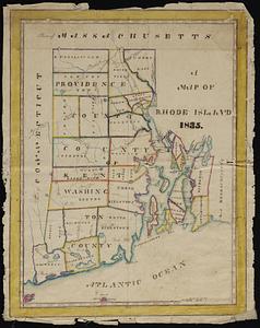
A map of Rhode Island
4051.
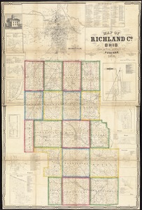
Map of Richland Co., Ohio
4052.
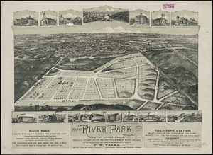
Map of River Park, Newton Upper Falls
4053.
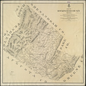
Map of Rockingham County, Virginia
4054.
Map of routes for a Pacific railroad
4055.
Map of Rowley
4056.
[Map of Salem, Mass.]
4057.
Map of Salem Village 1692
4058.
Map of San Francisco & San Joaquin Valley Ry. and Atchison lines in California
4059.
Map of Saratoga Co., New York
4060.
Map of Schuylkill County, Pennsylvania
‹ Prev
Next ›
1
2
…
199
200
201
202
203
204
205
206
207
…
437
438


![[Map of Salem, Mass.]](https://bpldcassets.blob.core.windows.net/derivatives/images/commonwealth:8336h3099/image_thumbnail_300.jpg)