Search Constraints
Search Results


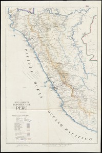

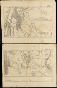
11. Peru

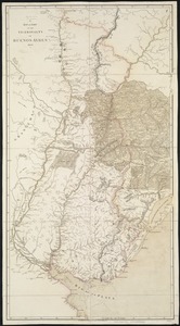
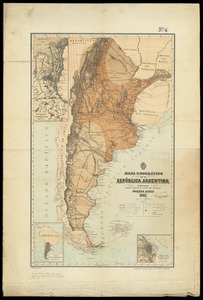


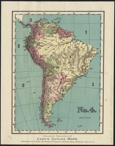


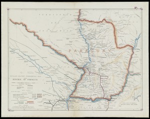
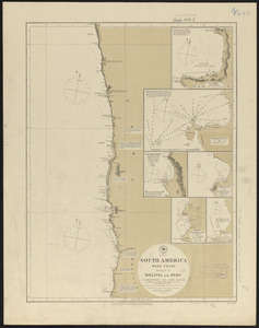
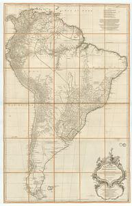
26. South America

27. South America

28. South America

29. South America

30. South America


32. Südamerika
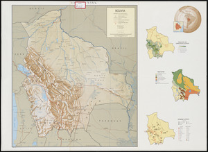
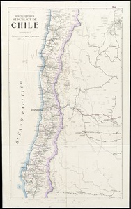
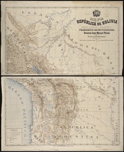
33. Bolivia


40. 1630 shoreline


46. 227 Harzgerode

47. 305 Glatz


49. 4 Kinten

![[A chart of Boston Bay and vicinity]](https://bpldcassets.blob.core.windows.net/derivatives/images/commonwealth:cj82m2976/image_thumbnail_300.jpg)


91. Adriatic


