Toggle navigation
LMEC Home
Collections
My Favorites
Exhibitions
Georeferencing
Tools for Teachers
Sign Up / Log In
Search
Search the map portal
Search
Search
Search for
Search in
All Fields
Title
Subject
Place
Creator
Search All Digital Collections
Advanced Search
9021 Results
Search Constraints
My Search
Start Over
More like
commonwealth:x633fc024
Remove constraint More like: commonwealth:x633fc024
Filter your Search
Show filters
Hide filters
Place
North and Central America
6,192
United States
5,094
Massachusetts
2,194
Europe
1,420
Suffolk (county)
1,092
Boston
1,061
Canada
464
Asia
447
more
Place
»
Topic
Boston (Mass.)--Maps
600
United States--Maps
301
Real property--Massachusetts--Boston--Maps
180
Massachusetts--Maps
173
Landowners--Massachusetts--Boston--Maps
138
New England--Maps
110
North America--Maps--Early works to 1800
103
Europe--Maps
82
more
Topic
»
Creator
United States. Hydrographic Office
598
O.H. Bailey & Co
148
Des Barres, Joseph F. W. (Joseph Frederick Wallet), 1722-1824
122
United States. Post Office Dept
120
Geological Survey (U.S.)
100
Ptolemy, 2nd cent
100
Walling, Henry Francis, 1825-1888
94
Jefferys, Thomas, -1771
85
more
Creator
»
Format
Maps/Atlases
8,952
Manuscripts
215
Prints
56
Books
42
Objects/Artifacts
13
Drawings/Illustrations
8
Ephemera
8
Documents
5
more
Format
»
Georeferenced
Yes
965
No
8,056
Collection
Norman B. Leventhal Map & Education Center Collection
9,019
Boston and New England Maps
2,372
Urban Maps
2,083
Maritime Charts and Atlases
1,085
American Revolutionary War-Era Maps
621
Boston Redevelopment Authority Collection
88
Mapping Boston Collection
1
William L. Clements Library Collection
1
Available to use
No known restrictions
8,864
Creative Commons license
61
Sort
by relevance
relevance
title
date (asc)
date (desc)
recently added
Number of results to display per page
50
per page
per page
10
per page
20
per page
50
per page
100
per page
Search Results
1.
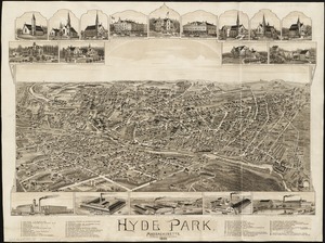
Hyde Park, Massachusetts : 1890
2.
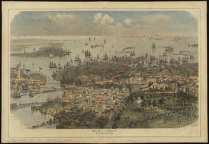
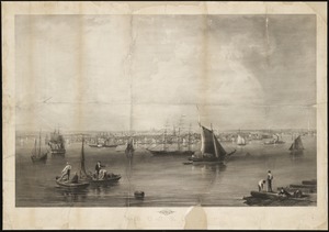
Ausicht von Boston : nach der natur aufgenommen
3.
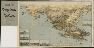
Balloon view, Cape Ann to Boston
4.
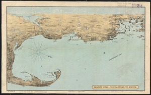
Balloon view Provincetown to Boston
5.
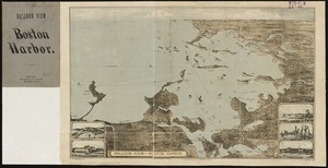
Balloon view--Boston Harbor
6.
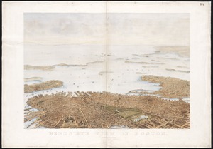
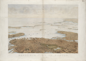
Bird's eye view of Boston
7.
Bird's eye view of Boston
8.
Bird's eye view of Boston
9.
Bird's eye view of Boston
10.
[Bird's-eye view of Boston]
11.
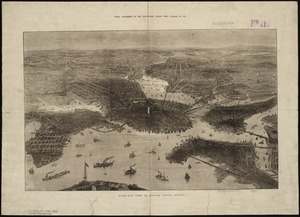
Bird's-eye view of Boston and its environs
12.
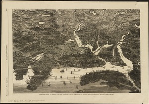
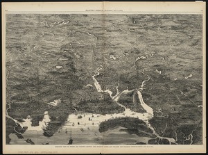
Birds-eye view of Boston and vicinity : showing the outlying towns and villages and railroad communications
13.
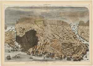
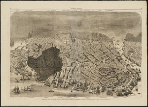
Bird's-eye view of Boston, showing the burned district
14.
Bird's-eye view of Boston, showing the burned district
15.
Bird's-eye view of Boston, United States
16.
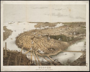
Boston : bird's-eye view from the north
17.
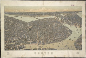
Boston
18.
Boston : 1899
19.
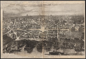
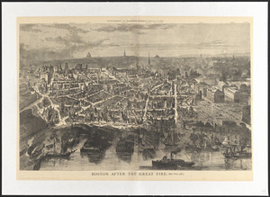
Boston after the great fire
20.
Boston after the great fire
21.
Boston and environs
22.
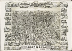
Boston Highlands, Massachusetts : Wards 19, 20, 21 & 22 of Boston
23.
Boston proper
24.
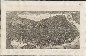
The city of Boston
25.
The city of Boston : 1879
26.
The City of Boston : 1879
27.
The City of Boston : 1879
28.
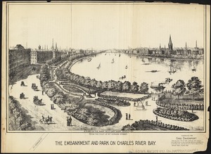
The embankment and park on Charles River Bay
29.
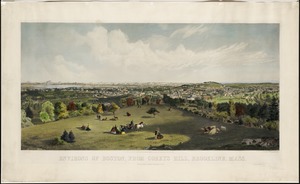
Environs of Boston, from Corey's Hill, Brookline, Mass
30.
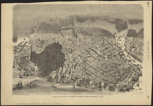
General unsicht von Boston and der Bogelschau mit Bezeichnung des abgebrannten Stadttheiles : = Bird's eye view of Boston,...
31.
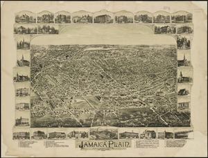
Jamaica Plain, Massachusetts : Ward 23, City of Boston, 1891
32.
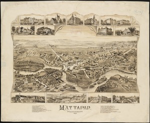
Mattapan, Massachusetts, 1890
33.
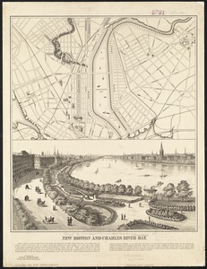
New Boston and Charles River Bay
34.
Outline key to Richardson's view of the environs of Boston from Corey's Hill, Brookline
35.
Panoramic view from Bunker Hill Monument
36.
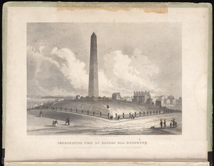
Perspective view of Bunker Hill Monument
37.
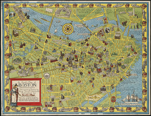
A Scott-Map of Boston, Massachusetts
38.
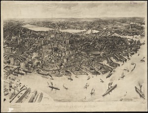
Twentieth century Boston
39.
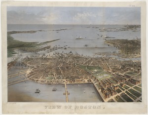
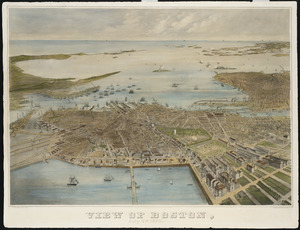
View of Boston, July 4th 1870
40.
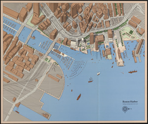
Boston Harbor : challenges and opportunities for the 1980's
41.
[Perspecti]ve view of the environs of [Bosto]n from Beacon Hill shewing the rebels [works?] & encampmentss, July 22d, 1775
42.
View of Boston, July 4th 1870
43.
1. Egypt and the Near East, 3000-1200 BCE
44.
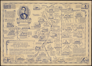
The 100th anniversary map of Abraham Lincoln's visit to Massachusetts, September 11-23, 1848
45.
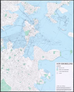
1630 shoreline
46.
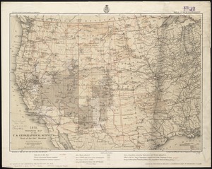
1879. Progress map of the U.S. Geographical Surveys west of the 100th Meridian : prepared under the direction of 1st Lieut....
47.
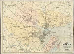
1903 Map of Salem and surrounding places
48.
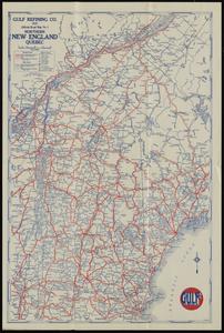
1929 official road map no. 1, northern New England, Québec
49.
1930 highway map of Rhode Island : showing the state highway system and principal connecting roads
50.
1930 Socony road map of New England
« Previous
Next »
1
2
3
4
5
…
180
181