Search Constraints
Search Results

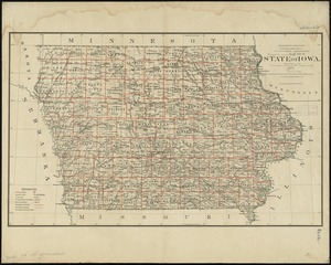
7202. State of Iowa

7203. State of Iowa

7204. State of Kansas

7205. State of Kansas


7208. State of Louisiana


7210. State of Maine

7211. State of Maine


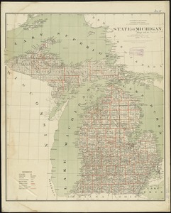
7215. State of Michigan
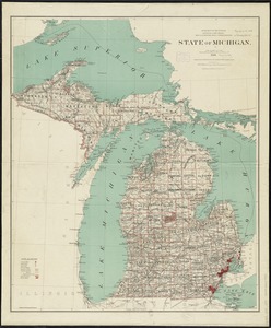
7216. State of Michigan
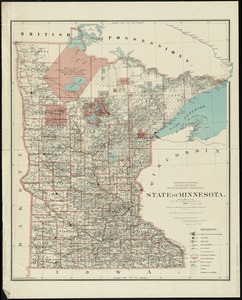
7217. State of Minnesota
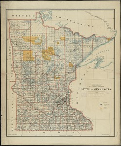
7218. State of Minnesota
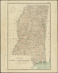
7219. State of Mississippi
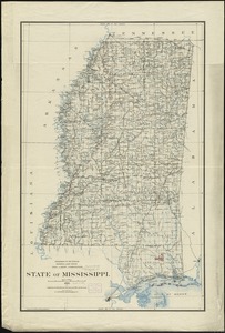
7220. State of Mississippi
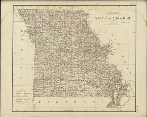
7221. State of Missouri
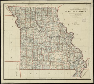
7222. State of Missouri
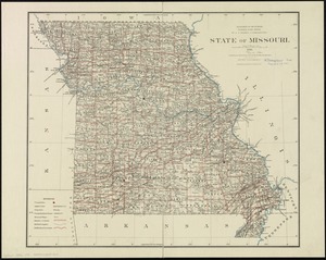
7223. State of Missouri
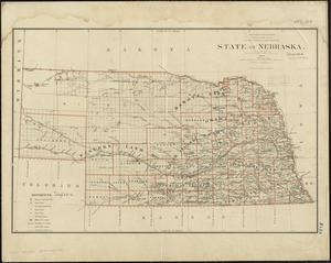
7224. State of Nebraska
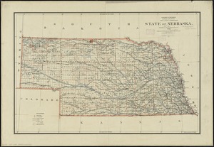
7225. State of Nebraska
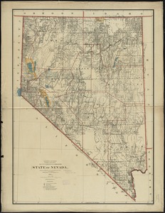
7226. State of Nevada


7232. The state of New York

7233. State of New York


7237. State of North Dakota

7238. State of North Dakota

7239. State of Oaxaca

7240. State of Ohio


7242. State of Oregon


7248. State of South Dakota


7255. The state of Wisconsin

7256. State of Wisconsin
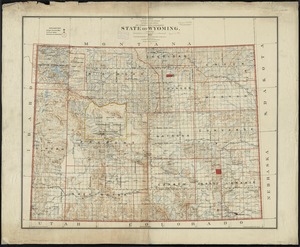
7257. State of Wyoming
![[Statement and plan of the Bill estate]](https://bpldcassets.blob.core.windows.net/derivatives/images/commonwealth:1257bc08v/image_thumbnail_300.jpg)


7263. Stato di Milano


7273. Stoughton, Mass : 1879


7280. Stratford, Conn : 1882


7287. Street trees Comm. Ave.


7296. Südamerika


