Search Constraints
Search Results

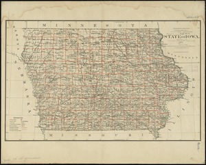
7202. State of Iowa

7203. State of Iowa

7204. State of Kansas

7205. State of Kansas


7208. State of Louisiana


7210. State of Maine

7211. State of Maine


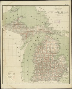
7215. State of Michigan
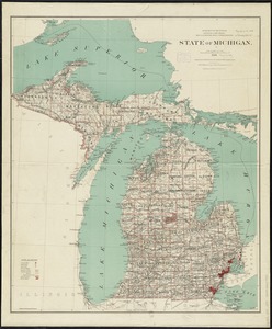
7216. State of Michigan
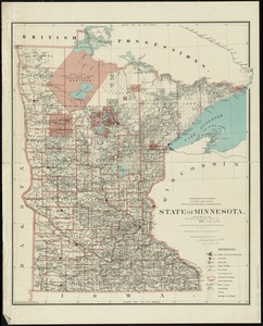
7217. State of Minnesota
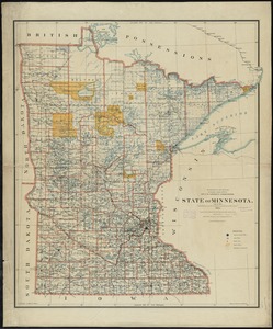
7218. State of Minnesota
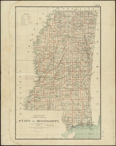
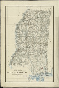
7219. State of Mississippi