Toggle navigation
LMEC Home
Collections
My Favorites
Exhibitions
Georeferencing
Tools for Teachers
Sign Up / Log In
Search
Search the map portal
Search
Search
Search for
Search in
All Fields
Title
Subject
Place
Creator
Search All Digital Collections
Advanced Search
8980 Results
Search Constraints
My Search
Start Over
More like
commonwealth:x633f896s
Remove constraint More like: commonwealth:x633f896s
Filter your Search
Show filters
Hide filters
Place
North and Central America
6,154
United States
5,057
Massachusetts
2,180
Europe
1,417
Suffolk (county)
1,081
Boston
1,050
Canada
461
Asia
446
more
Place
»
Topic
Boston (Mass.)--Maps
597
United States--Maps
294
Real property--Massachusetts--Boston--Maps
178
Massachusetts--Maps
172
Landowners--Massachusetts--Boston--Maps
136
New England--Maps
108
North America--Maps--Early works to 1800
103
World maps
82
more
Topic
»
Creator
United States. Hydrographic Office
597
O.H. Bailey & Co
148
Des Barres, Joseph F. W. (Joseph Frederick Wallet), 1722-1824
122
United States. Post Office Dept
120
Ptolemy, 2nd cent
100
Geological Survey (U.S.)
99
Walling, Henry Francis, 1825-1888
94
Jefferys, Thomas, -1771
85
more
Creator
»
Format
Maps/Atlases
8,915
Manuscripts
218
Prints
56
Books
39
Objects/Artifacts
13
Drawings/Illustrations
8
Posters
5
Ephemera
4
more
Format
»
Georeferenced
Yes
965
No
8,015
Collection
Norman B. Leventhal Map & Education Center Collection
8,977
Boston and New England Maps
2,356
Urban Maps
2,073
Maritime Charts and Atlases
1,083
American Revolutionary War-Era Maps
621
Boston Redevelopment Authority Collection
87
Sidney R. Knafel Map Collection at Phillips Academy
2
MacLean Collection Map Library
1
Available to use
No known restrictions
8,817
Creative Commons license
63
Sort
by date (desc)
relevance
title
date (asc)
date (desc)
recently added
Number of results to display per page
20
per page
per page
10
per page
20
per page
50
per page
100
per page
Search Results
1.
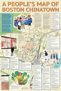
A people's map of Boston Chinatown
2.
A people's map of Lowell, Massachusetts
3.
A map of the Boston Marathon : since 1897
4.
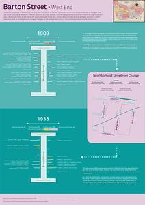
Barton Street, West End
5.
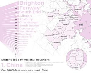
Boston's top 5 immigrant populations
6.
A complete map of the Wakulla River, Florida
7.
East Boston flood risk
8.
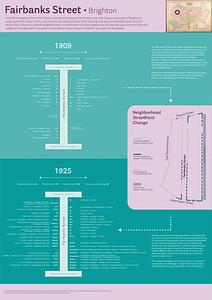
Fairbanks Street, Brighton
9.
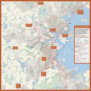
How we get around today
10.
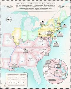
Map of the Marquis de Lafayette's 1824-1825 tour of the United States
11.
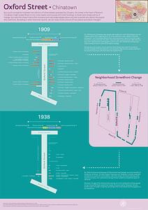
Oxford Street, Chinatown
12.
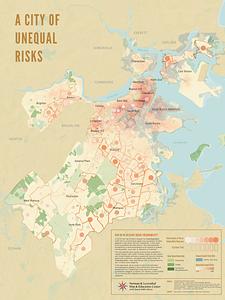
A city of unequal risks
13.
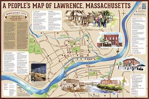
A people's map of Lawrence, Massachusetts
14.
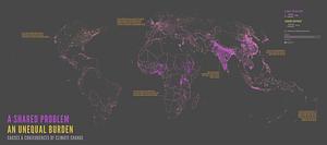
A shared problem, an unequal burden : causes & consequences of climate change
15.
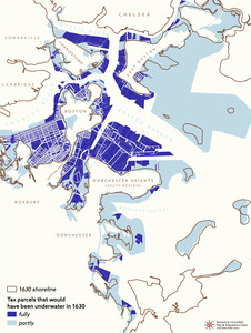
Tax parcels that would have been underwater in 1630
16.
Boston kids count
17.
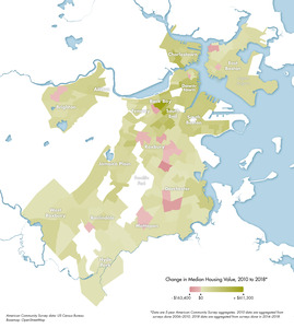
Change in median housing value, 2010 to 2018
18.
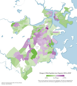
Change in white population (non-Hispanic), 2010 to 2018
19.
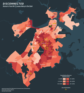
Disconnected : Boston's free wi-fi leaves many in the dark
20.
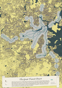
The great transit desert
« Previous
Next »
1
2
3
4
5
…
448
449