Toggle navigation
LMEC Home
Exhibitions
Georeferencing
Tools for Teachers
Collections
My Favorites
Sign Up / Log In
Search
Search the map portal
Map Collection
Map Collection
Map Sets
Search
Search
Search for
Search In
All Fields
Creator
Title
Subject
Place
Search All Digital Collections
Advanced Search
8168 Results
My Search
Start Over
More Like
commonwealth:wd3766165
Remove constraint More Like: commonwealth:wd3766165
Filter your Search
Place
North and Central America
4,917
United States
3,605
Suffolk (county)
1,026
Boston
999
Europe
963
Canada
427
France
269
Massachusetts
254
more
Place
»
Topic
Boston (Mass.)--Maps
576
United States--Maps
270
Real property--Massachusetts--Boston--Maps
174
Massachusetts--Maps
162
Landowners--Massachusetts--Boston--Maps
132
North America--Maps--Early works to 1800
103
New England--Maps
99
Europe--Maps
78
more
Topic
»
Date
Date range begin
–
Date range end
Current results range from
1482
to
2023
View distribution
Creator
United States. Hydrographic Office
357
O.H. Bailey & Co
148
Des Barres, Joseph F. W. (Joseph Frederick Wallet), 1722-1824
123
United States. Post Office Dept
120
Ptolemy, 2nd cent
100
Walling, Henry Francis, 1825-1888
93
Jefferys, Thomas, -1771
84
Geological Survey (U.S.)
83
more
Creator
»
Format
Maps/Atlases
8,109
Manuscripts
215
Prints
51
Books
36
Objects/Artifacts
10
Drawings/Illustrations
8
Posters
4
Georeferenced
Yes
869
No
7,299
Collection
Norman B. Leventhal Map Center Collection
8,164
Boston and New England Maps
2,185
Urban Maps
1,925
Maritime Charts and Atlases
750
American Revolutionary War-Era Maps
617
Boston Redevelopment Authority Collection
86
Massachusetts Real Estate Atlases
3
Applied Geographics, Inc. Records
1
more
Collection
»
Available to use
No known restrictions
8,023
Creative Commons license
46
Search Constraints
Sort by relevance
relevance
title
date (asc)
date (desc)
Number of results to display per page
20 per page
10
per page
20
per page
50
per page
100
per page
View results as:
grid view
map view
Search Results
1.
Atlas of Massachusetts
2.
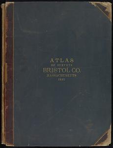
Atlas of Bristol Co., Massachusetts : from actual surveys
3.
Map of the county of Bristol, Massachusetts : based upon the trigonometrical survey of the state
4.
Atlas of New Bedford city, Massachusetts
5.
Atlas of the city of New Bedford, Massachusetts : based on plans in the office of the city engineer
6.
Map of New Bedford
7.
Map of New Bedford and Fairhaven
8.
Map of the city of New Bedford, Bristol County, Mass.
9.
Atlas of Taunton City, Massachusetts
10.
City of Taunton
11.
Map of Taunton
12.
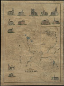
Map of the town of Taunton, with a view of the public buildings
13.
Taunton
14.
Atlas of Massachusetts
15.
New topographical atlas of surveys Bristol County, Massachusetts
16.
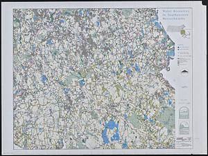
Water resources in southeastern Massachusetts
17.
Bedford
18.
Developable lands and partial constraints : town of Taunton
19.
The 100th anniversary map of Abraham Lincoln's visit to Massachusetts, September 11-23, 1848
20.
1630 shoreline
‹ Prev
Next ›
1
2
3
4
5
…
408
409