Toggle navigation
LMEC Home
Exhibitions
Georeferencing
Tools for Teachers
Collections
My Favorites
Sign Up / Log In
Search
Search the map portal
Map Collection
Map Collection
Map Sets
Search
Search
Search for
Search In
All Fields
Creator
Title
Subject
Place
Search All Digital Collections
Advanced Search
8769 Results
My Search
Start Over
More Like
commonwealth:wd376604c
Remove constraint More Like: commonwealth:wd376604c
Filter your Search
Place
North and Central America
6,000
United States
4,904
Massachusetts
2,152
Europe
1,396
Suffolk (county)
1,047
Boston
1,020
Canada
450
Asia
438
more
Place
»
Topic
Boston (Mass.)--Maps
590
United States--Maps
282
Massachusetts--Maps
235
Real property--Massachusetts--Boston--Maps
175
Landowners--Massachusetts--Boston--Maps
133
New England--Maps
104
North America--Maps--Early works to 1800
103
Europe--Maps
79
more
Topic
»
Date
Date range begin
–
Date range end
Current results range from
1482
to
2023
View distribution
Creator
United States. Hydrographic Office
595
O.H. Bailey & Co
148
Des Barres, Joseph F. W. (Joseph Frederick Wallet), 1722-1824
123
United States. Post Office Dept
120
Ptolemy, 2nd cent
100
Walling, Henry Francis, 1825-1888
95
Geological Survey (U.S.)
92
Jefferys, Thomas, -1771
85
more
Creator
»
Format
Maps/Atlases
8,708
Manuscripts
217
Prints
56
Books
36
Objects/Artifacts
10
Drawings/Illustrations
8
Posters
5
Ephemera
1
Georeferenced
Yes
878
No
7,891
Collection
Norman B. Leventhal Map & Education Center Collection
8,737
Boston and New England Maps
2,279
Urban Maps
2,024
Maritime Charts and Atlases
1,083
American Revolutionary War-Era Maps
635
Boston Redevelopment Authority Collection
90
Applied Geographics, Inc. Records
20
David Judkins Weaver Papers
18
more
Collection
»
Available to use
No known restrictions
8,595
Creative Commons license
51
Search Constraints
Sort by relevance
relevance
title
date (asc)
date (desc)
Number of results to display per page
20 per page
10
per page
20
per page
50
per page
100
per page
View results as:
grid view
map view
Search Results
6581.
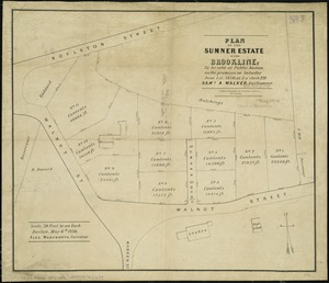
Plan of the Sumner Estate in Brookline : to be sold at public auction, on the premises on Saturday June 1st, 1850, at 3 o'clock...
6582.
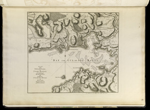
Plan of the town and citadel of Fort Royal, the capital of Martinico : with the Bay of Cul de Sac Royal
6583.
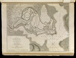
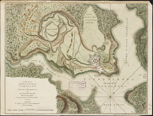
A plan of the town and Fort of Carillon at Ticonderoga : with the attack made by the British army commanded by Genl....
6584.
A plan of the town and Fort of Carillon at Ticonderoga : with the attack made by the British army commanded by Genl....
6585.
Plan of the town and fort of Grenada
6586.
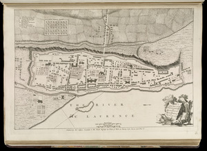
Plan of the town and fortifications of Montreal or Ville Marie in Canada
6587.
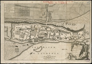
Plan of the town and fortifications of Montreal or Ville Marie in Canada
6588.
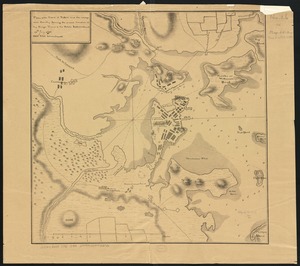
A plan of the town and harbour of Boston, and the country adjacent with the road from Boston to Concord shewing the place of...
6589.
Plan of the town and harbour of San Juan de Puerto Rico ; Plan of the Aguada Nueva de Puerto Rico
6590.
A plan of the town dock, formerly called Bendalls Dock, in Boston, with the buildings round & flats before it
6591.
Plan of the town of Basse Terre the capital of Guadaloupe from an authentic survey
6592.
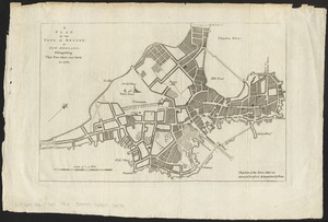
Plan of the town of Boston
6593.
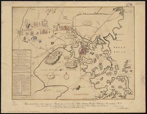
Plan of the town of Boston and circumjacent country shewing the present situation of the Kings troops & the Rebels...
6594.
A plan of the town of Boston, in New-England, distinguishing that part which was burnt in 1760
6595.
Plan of the town of Boston, with the attack on Bunkers-Hill, in the peninsula of Charlestown, the 17th of June, 1775
6596.
Plan of the town of Boston with the attack on Bunkers-Hill in the peninsula of Charlestown the 17th of June 1775
6597.
Plan of the town of Brighton
6598.
Plan of the town of Cayenne and Fort St. Michael
6599.
Plan of the town of Dorchester
6600.
Plan of the town of Lowell and Belvidere Village
‹ Prev
Next ›
1
2
…
326
327
328
329
330
331
332
333
334
…
438
439