Search Constraints
Search Results


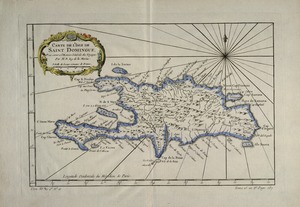

7. La Spagnuola
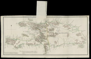


19. Spagnvola

20. Spagnvola

21. Zeilan Insula


24. 1630 shoreline


30. 227 Harzgerode

31. 305 Glatz


33. 4 Kinten

![[A chart of Boston Bay and vicinity]](https://bpldcassets.blob.core.windows.net/derivatives/images/commonwealth:cj82m2976/image_thumbnail_300.jpg)


75. Adriatic


77. Aegyptus Antiqua


88. Africa


90. Africa

91. Africa

92. Africa

93. Africa

94. Africa

95. Africa


