Toggle navigation
LMEC Home
Exhibitions
Georeferencing
Tools for Teachers
Collections
My Favorites
Sign Up / Log In
Search
Search the map portal
Map Collection
Map Collection
Map Sets
Search
Search
Search for
Search In
All Fields
Creator
Title
Subject
Place
Search All Digital Collections
Advanced Search
9020 Results
My Search
Start Over
More Like
commonwealth:wd376542k
Remove constraint More Like: commonwealth:wd376542k
Filter your Search
Place
North and Central America
6,247
United States
5,130
Massachusetts
2,099
Europe
1,396
Suffolk (county)
1,067
Boston
1,035
Canada
463
Asia
438
more
Place
»
Topic
Boston (Mass.)--Maps
595
United States--History--Revolution, 1775-1783--Maps
330
United States--Maps
283
Real property--Massachusetts--Boston--Maps
175
Massachusetts--Maps
163
Landowners--Massachusetts--Boston--Maps
133
New England--Maps
103
North America--Maps--Early works to 1800
103
more
Topic
»
Date
Date range begin
–
Date range end
Current results range from
1482
to
2023
View distribution
Creator
United States. Hydrographic Office
595
O.H. Bailey & Co
148
Des Barres, Joseph F. W. (Joseph Frederick Wallet), 1722-1824
124
United States. Post Office Dept
120
Ptolemy, 2nd cent
100
Walling, Henry Francis, 1825-1888
94
Geological Survey (U.S.)
86
Jefferys, Thomas, -1771
86
more
Creator
»
Format
Maps/Atlases
8,955
Manuscripts
219
Prints
56
Books
36
Drawings/Illustrations
13
Objects/Artifacts
10
Posters
5
Georeferenced
Yes
871
No
8,149
Collection
Norman B. Leventhal Map & Education Center Collection
8,696
Boston and New England Maps
2,233
Urban Maps
2,023
Maritime Charts and Atlases
1,083
American Revolutionary War-Era Maps
941
William L. Clements Library Collection
305
Boston Redevelopment Authority Collection
87
Maps from AAS
8
more
Collection
»
Available to use
No known restrictions
8,555
Creative Commons license
52
Search Constraints
Sort by relevance
relevance
title
date (asc)
date (desc)
Number of results to display per page
20 per page
10
per page
20
per page
50
per page
100
per page
View results as:
grid view
map view
Search Results
201.
A plan of the attack of Fort Sullivan, near Charles Town in South Carolina, by a squadron of his majesty's ships on the 28th of...
202.
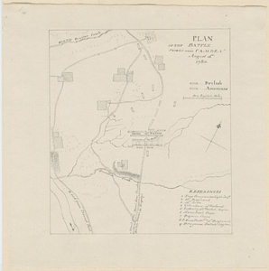
Plan of the battle fought near Camden August 16th 1780
203.
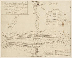
Plan of the Battle of Gum Swamp alias Sutton Wood, on the 16th August 1780 between the royal army, 1600, commanded by Lieut:...
204.
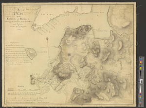
Plan of the bay of Saldanha on the S.W. coast of Africa shewing the opperations [sic] of the squadron of Commodore Johnstone,...
205.
Plan of the British attack on Mud Island, Pennsylvania
206.
Plan of the decent [sic] and action of the 29th Decr. 1778, near the town of Savannah; by his majestys forces, under the...
207.
A plan of the entrance of Chesapeak Bay, with James and York Rivers : wherein are shown the respective positions (in the...
208.
A plan of the environs of Brooklyn showing the position of the rebel lines and defences on the 27th of August 1776
209.
Plan of the environs of Halifax in Nova Scotia with the temporary works constructed for the protection of the town, and His...
210.
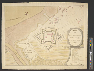
Plan of the fort of Annapolis Nova Scotia in its present state 1779
211.
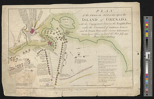
Plan of the French attacks upon the island of Grenada, with the engagement between the English fleet under the command of...
212.
Plan of the general attack on Fort Mifflin
213.
Plan of the harbour of Pensacola in West Florida with the different stations of the Spanish fleet during the siege from the 9...
214.
A plan of the military operations against Charlestown, the army being commanded by L.G. Sir Henry Clinton K.B. and the fleet by...
215.
Plan of the narrows : shewing, the channel, shoal, depth of water, and the several battery's proposed on each side to prevent...
216.
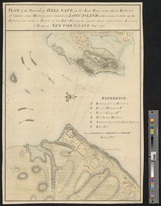
Plan of the narrows of Hell Gate, on the East River near which batteries of cannon, and morters, were erected on Long Island :...
217.
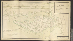
Plan of the peninsula of Chesopeak Bay : compiled from actual surveys
218.
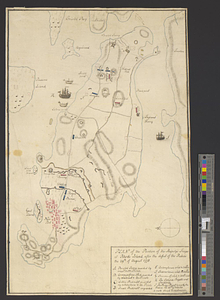
Plan of the position of his majesty's troops at Rhode Island, after the defeat of the rebels the 29th of August 1778
219.
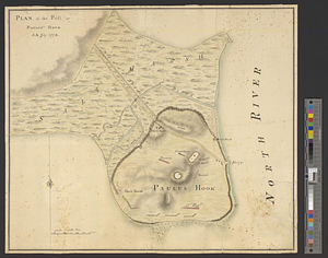
Plan of the post at Paulus's Hook, 24 July 1778
220.
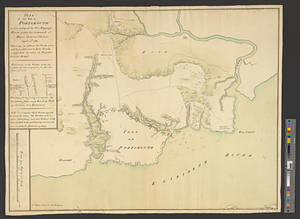
Plan of the post of Portsmouth as it is occupied by his majesty's forces under the command of Major General Phillips, April...
‹ Prev
Next ›
1
2
…
7
8
9
10
11
12
13
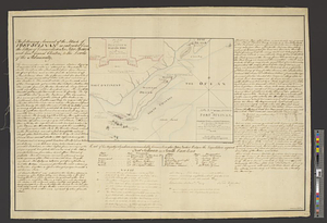
14
15
…
450
451
![Plan of the bay of Saldanha on the S.W. coast of Africa shewing the opperations [sic] of the squadron of Commodore Johnstone, in the attack upon the five Dutch East India ships on the morning of July 21st: AD: 1781](https://bpldcassets.blob.core.windows.net/derivatives/metadata/commonwealth-oai:7d27dp94q/image_thumbnail_300.jpg)
![Plan of the decent [sic] and action of the 29th Decr. 1778, near the town of Savannah; by his majestys forces, under the command of Lt. Colol. Campbell of the 71st Regt. foot](https://bpldcassets.blob.core.windows.net/derivatives/metadata/commonwealth-oai:qj72t576b/image_thumbnail_300.jpg)