Toggle navigation
LMEC Home
Collections
My Favorites
Exhibitions
Georeferencing
Tools for Teachers
Sign Up / Log In
Search
Search the map portal
Search
Search
Search for
Search in
All Fields
Title
Subject
Place
Creator
Search All Digital Collections
Advanced Search
9018 Results
Search Constraints
My Search
Start Over
More like
commonwealth:wd376232q
Remove constraint More like: commonwealth:wd376232q
Filter your Search
Show filters
Hide filters
Place
North and Central America
6,189
United States
5,091
Massachusetts
2,191
Europe
1,420
Suffolk (county)
1,090
Boston
1,059
Canada
464
Asia
447
more
Place
»
Topic
Boston (Mass.)--Maps
600
United States--Maps
301
Real property--Massachusetts--Boston--Maps
180
Massachusetts--Maps
173
Landowners--Massachusetts--Boston--Maps
138
New England--Maps
110
North America--Maps--Early works to 1800
103
Europe--Maps
82
more
Topic
»
Creator
United States. Hydrographic Office
598
O.H. Bailey & Co
148
Des Barres, Joseph F. W. (Joseph Frederick Wallet), 1722-1824
122
United States. Post Office Dept
120
Geological Survey (U.S.)
100
Ptolemy, 2nd cent
100
Walling, Henry Francis, 1825-1888
94
Jefferys, Thomas, -1771
85
more
Creator
»
Format
Maps/Atlases
8,949
Manuscripts
215
Prints
56
Books
42
Objects/Artifacts
13
Drawings/Illustrations
8
Ephemera
8
Documents
5
more
Format
»
Georeferenced
Yes
965
No
8,053
Collection
Norman B. Leventhal Map & Education Center Collection
9,018
Boston and New England Maps
2,371
Urban Maps
2,082
Maritime Charts and Atlases
1,085
American Revolutionary War-Era Maps
620
Boston Redevelopment Authority Collection
87
Available to use
No known restrictions
8,863
Creative Commons license
60
Sort
by relevance
relevance
title
date (asc)
date (desc)
recently added
Number of results to display per page
20
per page
per page
10
per page
20
per page
50
per page
100
per page
Search Results
8801.
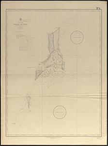
West Indies, Bahama Islands, Turk's Islands : from British surveys in 1830 and 1845, 1886
8802.
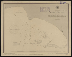
West Indies, Bahamas, Port Nelson, Rum Cay : from a survey in 1886 by the officers of the U.S. Fish Commission Steamer...
8803.
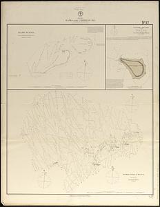
West Indies, banks in the Caribbean Sea : from British surveys corrected to 1872
8804.
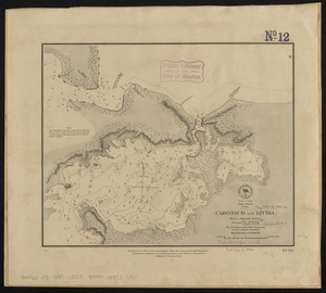
West Indies, Cuba, Cabonico and Livisa : from a Spanish survey
8805.
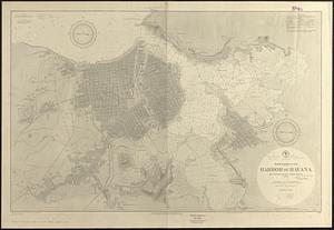
West Indies, Cuba, harbor of Havana : from the most recent Spanish surveys to 1887
8806.
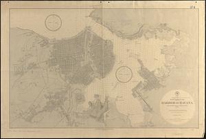
West Indies, Cuba, harbor of Havana : from the most recent Spanish surveys to 1879
8807.
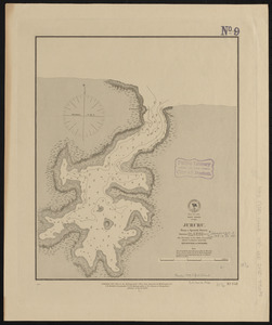
West Indies, Cuba, Jururu : from a Spanish survey
8808.
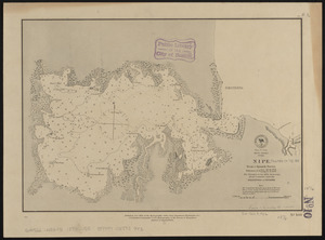
West Indies, Cuba, Nipe : from a Spanish survey
8809.
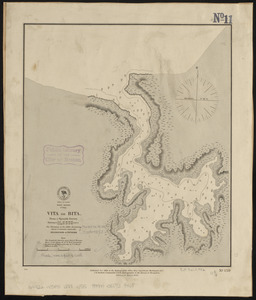
West Indies, Cuba, Vita or Bita : from a Spanish survey
8810.
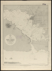
West Indies, Cuba--South Coast, Port Xagua or Cienfuegos : from a Spanish survey, 1836, corrected to 1886
8811.
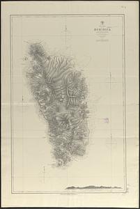
West Indies, Dominica : from a British survey in 1872 ; republication of British Admiralty chart no. 697
8812.
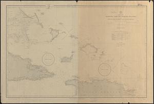
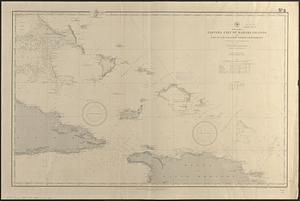
West Indies, eastern part of Bahama Islands with part of Cuba and north coast of Santo Domingo : compiled from the latest...
8813.
West Indies, eastern part of Bahama Islands with part of Cuba and north coast of Santo Domingo : compiled from the latest...
8814.
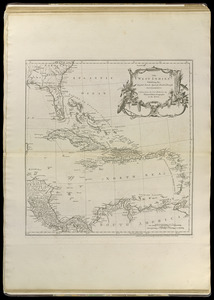
The West Indies exhibiting the English, French, Spanish, Dutch & Danish settlements
8815.
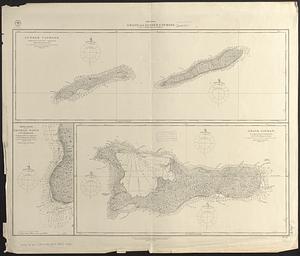
West Indies, Grand and Lesser Caymans : from a British survey in 1880-1
8816.
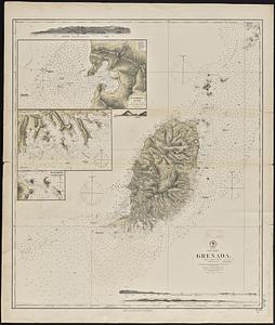
West Indies, Grenada : from a British survey : corrected to 1872
8817.
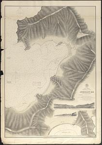
West Indies, Grenadines--Id. of Bequia, Admiralty Bay : from British surveys, corrected to 1872
8818.
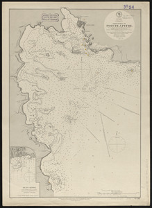
West Indies, Guadeloupe, approaches to Pointe á Pitre : from a French survey in 1867, corrected to 1882
8819.
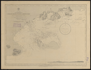
West Indies, Haiti or Santo Domingo, Cayes, Flamand, St. Louis and Meste Bays : from French government surveys to 1872, with...
8820.
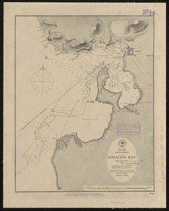
West Indies, Haïti or St. Domingo, Gonaïves Bay : from a French survey, 1847
« Previous
Next »
1
2
…
437
438
439
440
441
442
443
444
445
…
450
451