Toggle navigation
LMEC Home
Collections
My Favorites
Exhibitions
Georeferencing
Tools for Teachers
Sign Up / Log In
Search
Search the map portal
Search
Search
Search for
Search in
All Fields
Title
Subject
Place
Creator
Search All Digital Collections
Advanced Search
8972 Results
Search Constraints
My Search
Start Over
More like
commonwealth:wd376232q
Remove constraint More like: commonwealth:wd376232q
Filter your Search
Show filters
Hide filters
Place
North and Central America
6,153
United States
5,057
Massachusetts
2,179
Europe
1,417
Suffolk (county)
1,081
Boston
1,050
Canada
461
Asia
446
more
Place
»
Topic
Boston (Mass.)--Maps
597
United States--Maps
294
Real property--Massachusetts--Boston--Maps
178
Massachusetts--Maps
172
Landowners--Massachusetts--Boston--Maps
136
New England--Maps
108
North America--Maps--Early works to 1800
103
Europe--Maps
81
more
Topic
»
Creator
United States. Hydrographic Office
597
O.H. Bailey & Co
148
Des Barres, Joseph F. W. (Joseph Frederick Wallet), 1722-1824
122
United States. Post Office Dept
120
Geological Survey (U.S.)
100
Ptolemy, 2nd cent
100
Walling, Henry Francis, 1825-1888
94
Jefferys, Thomas, -1771
85
more
Creator
»
Format
Maps/Atlases
8,907
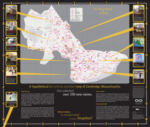
Manuscripts
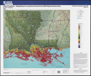
215
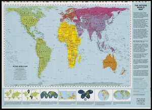
Prints
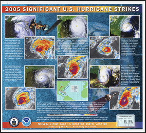
56
Books
39
Objects/Artifacts
13
Drawings/Illustrations
8
Posters
5
Ephemera
4
more
Format
»
Georeferenced
Yes
965
No
8,007
Collection
Norman B. Leventhal Map & Education Center Collection
8,972
Boston and New England Maps
2,355
Urban Maps
2,073
Maritime Charts and Atlases
1,083
American Revolutionary War-Era Maps
620
Boston Redevelopment Authority Collection
87
Available to use
No known restrictions
8,817
Creative Commons license
60
Sort
by date (desc)
relevance
title
date (asc)
date (desc)
recently added
Number of results to display per page
100
per page
per page
10
per page
20
per page
50
per page
100
per page
Search Results
1.
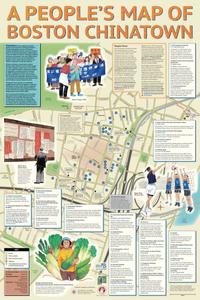
A people's map of Boston Chinatown
2.
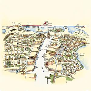
A people's map of Lowell, Massachusetts
3.
A map of the Boston Marathon : since 1897
4.
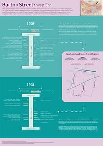
Barton Street, West End
5.
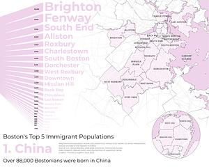
Boston's top 5 immigrant populations
6.
A complete map of the Wakulla River, Florida
7.
East Boston flood risk
8.
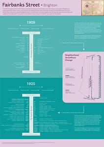
Fairbanks Street, Brighton
9.
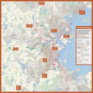
How we get around today
10.
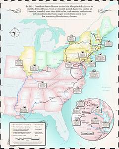
Map of the Marquis de Lafayette's 1824-1825 tour of the United States
11.
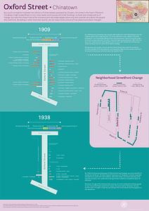
Oxford Street, Chinatown
12.
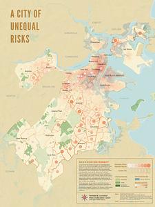
A city of unequal risks
13.
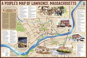
A people's map of Lawrence, Massachusetts
14.
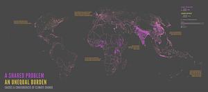
A shared problem, an unequal burden : causes & consequences of climate change
15.
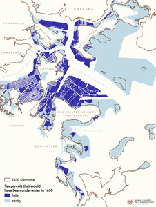
Tax parcels that would have been underwater in 1630
16.
Boston kids count
17.
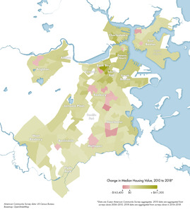
Change in median housing value, 2010 to 2018
18.
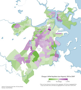
Change in white population (non-Hispanic), 2010 to 2018
19.
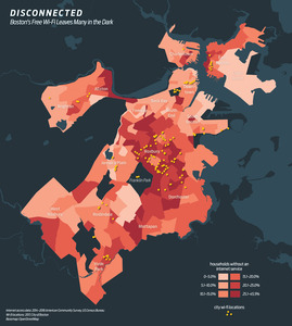
Disconnected : Boston's free wi-fi leaves many in the dark
20.
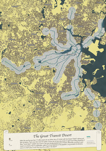
The great transit desert
21.
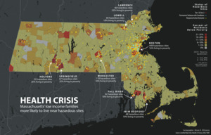
Health crisis : Massachusetts' low income families more likely to live near hazardous sites
22.
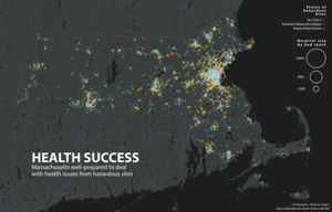
Health success : Massachusetts well-prepared to deal with health issues from hazardous sites
23.
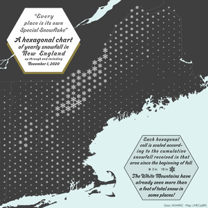
A hexagonal chart of yearly snowfall in New England up through and including November 1, 2020
24.
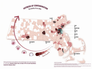
Hotbeds of contamination : the toxicity of our cities
25.
Jamaica Plain view of the world
26.
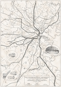
Map of public transportation routes in Greater Boston served by the Massachusetts Bay Transportation Authority comprising 64...
27.
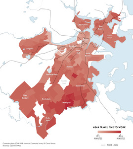
Mean travel time to work
28.
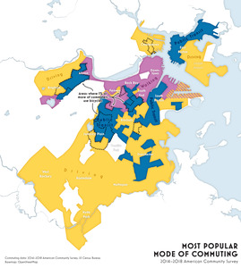
Most popular mode of commuting : 2014-2018 American Community Survey
29.
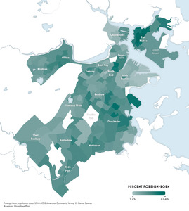
Percent foreign-born
30.
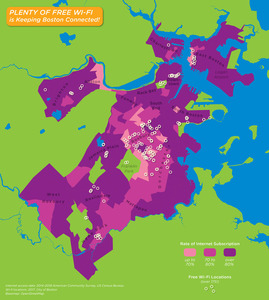
Plenty of free wi-fi is keeping Boston connected!
31.
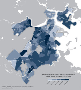
Proportion of units where rent costs over 30% of resident's income
32.
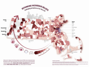
Rethinking hazardous beliefs : challenging perceptions of the "dirty city"
33.
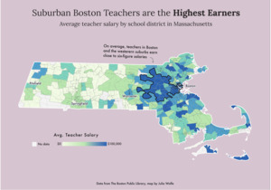
Suburban Boston teachers are the highest earners
34.
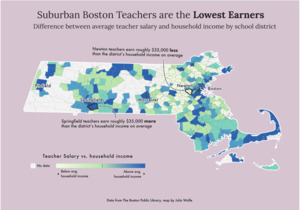
Suburban Boston teachers are the lowest earners
35.
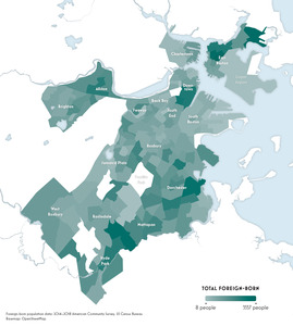
Total foreign-born
36.
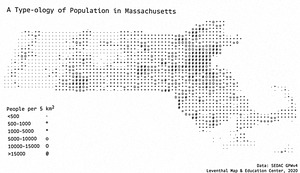
A type-ology of population in Massachusetts
37.
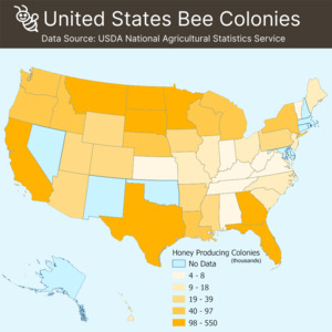
United States bee colonies
38.
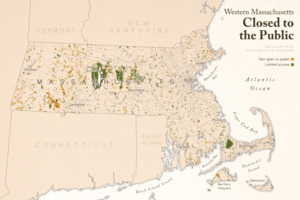
Western Massachusetts closed to the public
39.
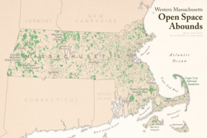
Western Massachusetts open space abounds
40.
The 2100 project : an atlas for the Green New Deal
41.
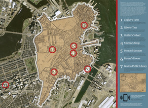
Boston Public Library
42.
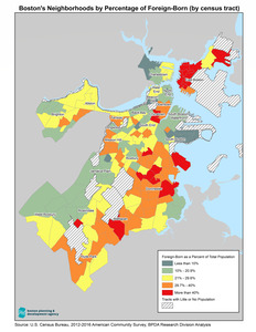
Boston's neighborhoods by percentage of foreign-born (by census tract)
43.
Asia Minor in the second century C.E.
44.
Back Bay view of the world
45.
Boston area neighborhood consensus
46.
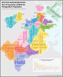
Boston neighborhoods : top 10 countries of birth for foreign-born population
47.
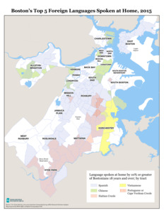
Boston's top 5 foreign languages spoken at home, 2015
48.
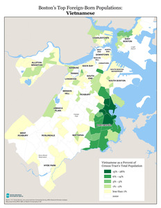
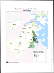
Boston's top foreign-born populations : Vietnamese
49.
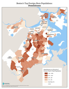
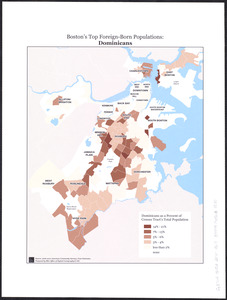
Boston's top foreign-born populations : Dominicans
50.
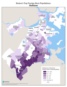
Boston's top foreign-born populations : Haitians
51.
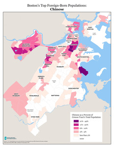
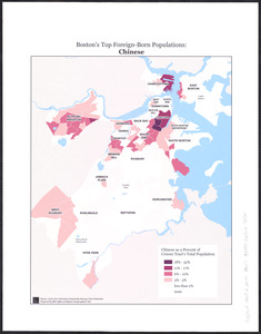
Boston's top foreign-born populations : Chinese
52.
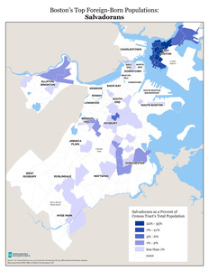
Boston's top foreign-born populations : Salvadorans
53.
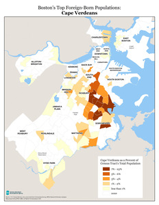
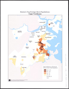
Boston's top foreign-born populations : Cape Verdeans
54.
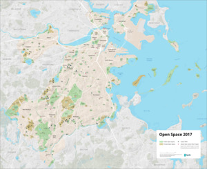
Open space 2017
55.
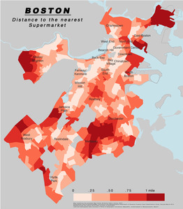
Boston distance to the nearest supermarket
56.
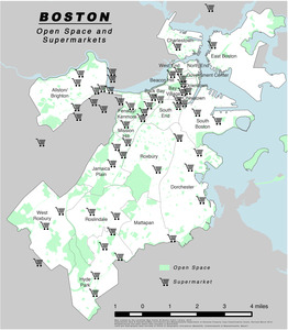
Boston open space and supermarkets
57.
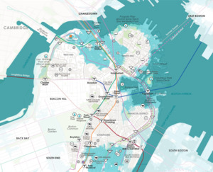
Downtown flood progression, 36 inches sea level rise
58.
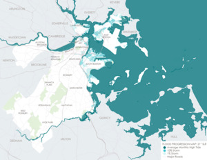
Flood progression map : 21" SLR
59.
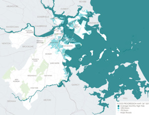
Flood progression map : 36" SLR
60.
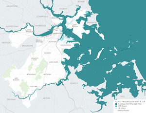
Flood progression map : 9" SLR
61.
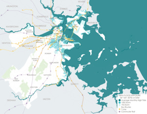
MBTA flood exposure : 36" SLR 2070s or later
62.
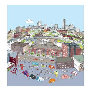
View of SoWa food trucks
63.
Boston over Time
64.
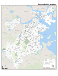
Boston public services
65.
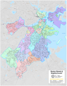
Boston streets & neighborhoods
66.
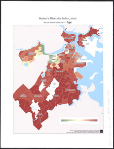
Boston's diversity index, 2010 : measures of diversity : age
67.
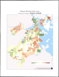
Boston's diversity index, 2010 : measures of diversity : region of birth
68.
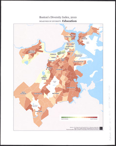
Boston's diversity index, 2010 : measures of diversity : education
69.
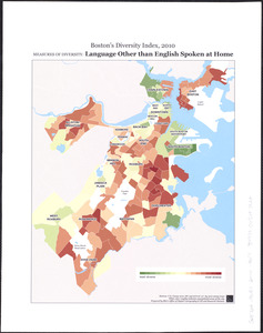
Boston's diversity index, 2010 : measures of diversity : language other than English spoken at home
70.
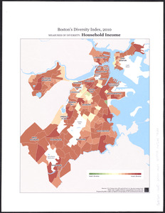
Boston's diversity index, 2010 : measures of diversity : household income
71.
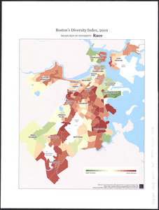
Boston's diversity index, 2010 : measures of diversity : race
72.
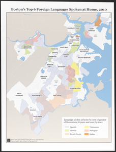
Boston's top 6 foreign languages spoken at home, 2010
73.
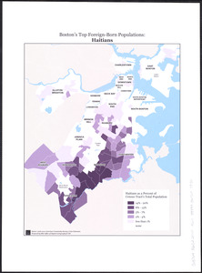
Boston's top foreign-born populations : Haitians
74.
Boston's top foreign-born populations : Salvadorans
75.
Boston's top foreign-born populations : Cape Verdeans
76.
Boston's top foreign-born populations : Dominicans
77.
Boston's top foreign-born populations : Chinese
78.
Boston's top foreign-born populations : Vietnamese
79.
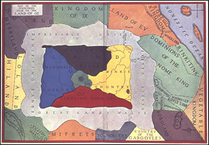
Map of the countries near to the land of Oz
80.
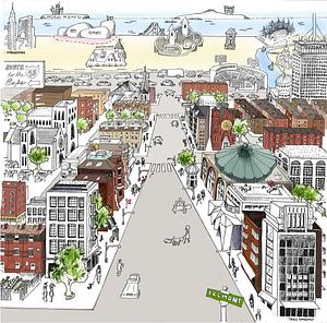
A South Ender's view of the world
81.
Cape Cod Canal
82.
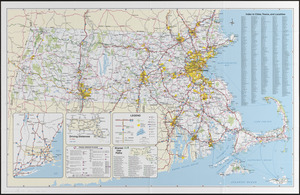
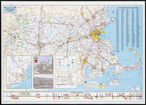
Massachusetts official transportation map
83.
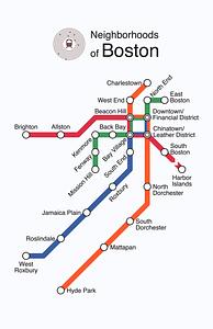
Neighborhoods of Boston
84.
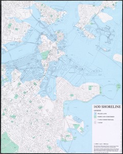
1630 shoreline
85.
1. Egypt and the Near East, 3000-1200 BCE
86.
2. Egypt and the Near East, 1200 to 500 BCE
87.
3. Greece and the Aegean in the fifth century BCE
88.
4. Greece and Persia in the Time of Alexander the Great
89.
5. Italy in the mid-first century CE
90.
6. The world of the New Testament and the journeys of Paul
91.
7. The Roman Empire around 200 CE
92.
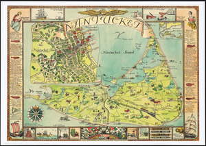
Nantucket
93.
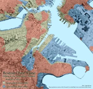
Boston Over Time : filling in the land 1630 - present
94.
The people's republic of Cambridge
95.
State of Louisiana, highlighting low-lying areas derived from USGS digital elevation data
96.
Peters World map
97.
2005 significant U.S. hurricane strikes
98.
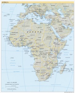
Africa
99.
Massachusetts Turnpike map : the main street of Massachusetts
100.
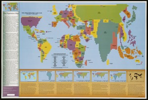
The population map
« Previous
Next »
1
2
3
4
5
…
89
90