Toggle navigation
LMEC Home
Collections
My Favorites
Exhibitions
Georeferencing
Tools for Teachers
Sign Up / Log In
Search
Search the map portal
Search
Search
Search for
Search in
All Fields
Title
Subject
Place
Creator
Search All Digital Collections
Advanced Search
8971 Results
Search Constraints
My Search
Start Over
More like
commonwealth:wd376232q
Remove constraint More like: commonwealth:wd376232q
Filter your Search
Show filters
Hide filters
Place
North and Central America
6,153
United States
5,057
Massachusetts
2,179
Europe
1,416
Suffolk (county)
1,081
Boston
1,050
Canada
461
Asia
446
more
Place
»
Topic
Boston (Mass.)--Maps
597
United States--Maps
294
Real property--Massachusetts--Boston--Maps
178
Massachusetts--Maps
172
Landowners--Massachusetts--Boston--Maps
136
New England--Maps
108
North America--Maps--Early works to 1800
103
Europe--Maps
81
more
Topic
»
Creator
United States. Hydrographic Office
597
O.H. Bailey & Co
148
Des Barres, Joseph F. W. (Joseph Frederick Wallet), 1722-1824
122
United States. Post Office Dept
120
Geological Survey (U.S.)
100
Ptolemy, 2nd cent
100
Walling, Henry Francis, 1825-1888
94
Jefferys, Thomas, -1771
85
more
Creator
»
Format
Maps/Atlases
8,906
Manuscripts
215
Prints
56
Books
39
Objects/Artifacts
13
Drawings/Illustrations
8
Posters
5
Ephemera
4
more
Format
»
Georeferenced
Yes
965
No
8,006
Collection
Norman B. Leventhal Map & Education Center Collection
8,971
Boston and New England Maps
2,355
Urban Maps
2,073
Maritime Charts and Atlases
1,083
American Revolutionary War-Era Maps
620
Boston Redevelopment Authority Collection
87
Available to use
No known restrictions
8,816
Creative Commons license
60
Sort
by relevance
relevance
title
date (asc)
date (desc)
recently added
Number of results to display per page
10
per page
per page
10
per page
20
per page
50
per page
100
per page
Search Results
1.
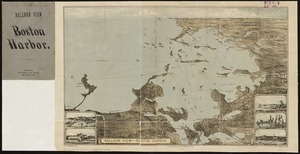
Balloon view--Boston Harbor
2.
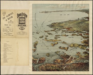
Bird's eye view of Boston Harbor : along the South Shore to Provincetown
3.
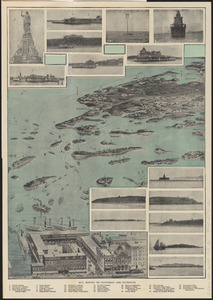
Bird's eye view of Boston Harbor and south shore to Provincetown showing steamboat routes
4.
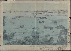
Boston Harbor
5.
Boston to Nantasket Beach and Plymouth
6.
1. Egypt and the Near East, 3000-1200 BCE
7.
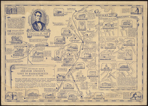
The 100th anniversary map of Abraham Lincoln's visit to Massachusetts, September 11-23, 1848
8.
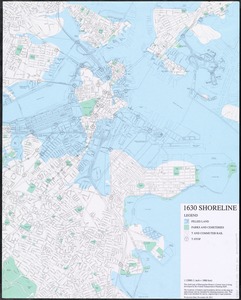
1630 shoreline
9.
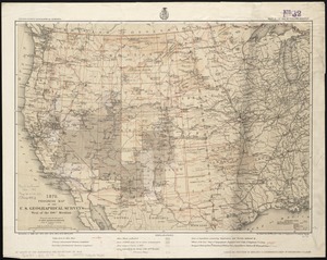
1879. Progress map of the U.S. Geographical Surveys west of the 100th Meridian : prepared under the direction of 1st Lieut....
10.
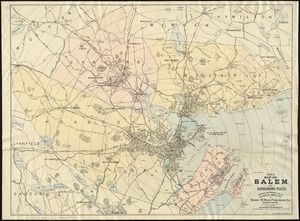
1903 Map of Salem and surrounding places
« Previous
Next »
1
2
3
4
5
…
897
898