Toggle navigation
LMEC Home
Collections
My Favorites
Exhibitions
Georeferencing
Tools for Teachers
Sign Up / Log In
Search
Search the map portal
Search
Search
Search for
Search in
All Fields
Title
Subject
Place
Creator
Search All Digital Collections
Advanced Search
9017 Results
Search Constraints
My Search
Start Over
More like
commonwealth:st74cz194
Remove constraint More like: commonwealth:st74cz194
Filter your Search
Show filters
Hide filters
Place
North and Central America
6,190
United States
5,092
Massachusetts
2,192
Europe
1,419
Suffolk (county)
1,090
Boston
1,059
Canada
464
Asia
447
more
Place
»
Topic
Boston (Mass.)--Maps
600
United States--Maps
301
Real property--Massachusetts--Boston--Maps
180
Massachusetts--Maps
173
Landowners--Massachusetts--Boston--Maps
138
New England--Maps
110
North America--Maps--Early works to 1800
103
Europe--Maps
82
more
Topic
»
Creator
United States. Hydrographic Office
598
O.H. Bailey & Co
148
Des Barres, Joseph F. W. (Joseph Frederick Wallet), 1722-1824
122
United States. Post Office Dept
120
Geological Survey (U.S.)
100
Ptolemy, 2nd cent
99
Walling, Henry Francis, 1825-1888
94
Jefferys, Thomas, -1771
85
more
Creator
»
Format
Maps/Atlases
8,948
Manuscripts
215
Prints
56
Books
42
Objects/Artifacts
13
Drawings/Illustrations
8
Ephemera
8
Documents
5
more
Format
»
Georeferenced
Yes
965
No
8,052
Collection
Norman B. Leventhal Map & Education Center Collection
9,017
Boston and New England Maps
2,371
Urban Maps
2,082
Maritime Charts and Atlases
1,085
American Revolutionary War-Era Maps
620
Boston Redevelopment Authority Collection
87
Available to use
No known restrictions
8,862
Creative Commons license
60
Sort
by relevance
relevance
title
date (asc)
date (desc)
recently added
Number of results to display per page
20
per page
per page
10
per page
20
per page
50
per page
100
per page
Search Results
1.
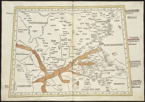
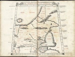
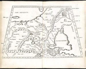
Nona Europa tabula continet Iaziges Metanastas
2.
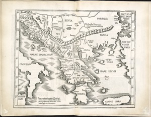
Ta. moder. Bossinae, Serviae, Graeciae, et Sclavoniae
3.
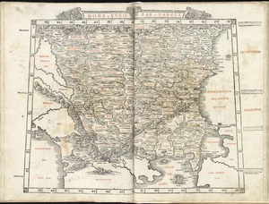
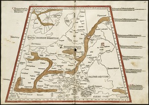
Nona Europae tabula
4.
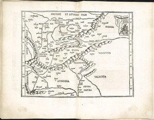
Tabu. moderna Hungariae, Poloniae, Russiae, Prussiae et Valachiae
5.
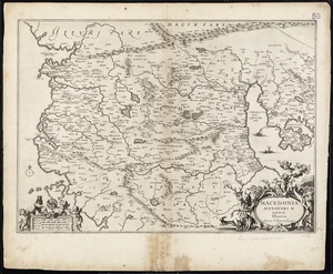
Macedonia Alexandri M. Patria Illustris
6.
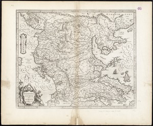
Macedonia, Epirus et Achaia
7.
Octava Europae tabula
8.
Octava Europe tabula continet Sarmatiam
9.
Tabula VIII Europae
10.
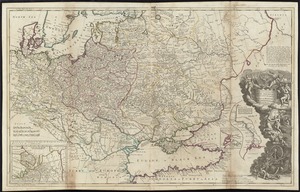
To His Most Serene and August Majesty Peter Alexovitz absolute lord of Russia &c. this map of Moscovy, Poland, Little Tartary,...
11.
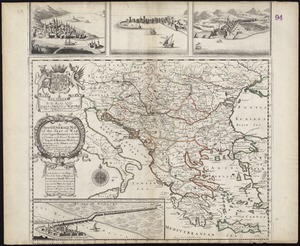
A new generall map of the seat of war from Vpper Hungary to the Isle of Candia : with exact prospects of Napoli di Romania,...
12.
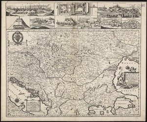
A new mapp of the Kingdom of Hungary and the states that have been subject to it, which are at present the northern parts of...
13.
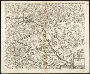
Regni Hungariae, et regionum, quae ei quondam fuêre unitae, ut Transilvaniae, Valachiae, Moldaviae, Serviae, Romaniae,...
14.
Regnum Hungaria in omnes suos comitatus accurate divisum et editum
15.
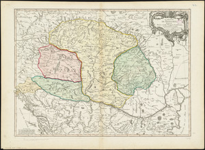
Le Royaume de Hongrie, divisé en Haute et Basse Hongrie, Transilvanie, Esclavonie et Croatie
16.
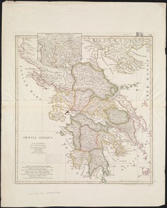
Craecia antiqua : ad accuratas recentiorum observationes tum itinerarias, tum astronomicas accomodata
17.
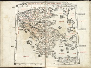
Decima et ultima Europae tabula
18.
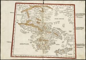
Decima Europe tabula continent Macedonia et Epirum et Achaiam & Peloponesum
19.
Graeciae antiquae
20.
Graeciae antiquae specimen geographicum
« Previous
Next »
1
2
3
4
5
…
450
451