Toggle navigation
LMEC Home
Collections
My Favorites
Exhibitions
Georeferencing
Tools for Teachers
Sign Up / Log In
Search
Search the map portal
Search
Search
Search for
Search in
All Fields
Title
Subject
Place
Creator
Search All Digital Collections
Advanced Search
486 Results
Search Constraints
My Search
Start Over
More like
commonwealth:sf26bn51v
Remove constraint More like: commonwealth:sf26bn51v
Filter your Search
Show filters
Hide filters
Place
Massachusetts
483
North and Central America
483
United States
483
Suffolk (county)
473
Boston
472
South End
62
Roxbury
48
Downtown Boston
39
more
Place
»
Topic
City planning--Massachusetts--Boston--Maps
393
Urban renewal--Massachusetts--Boston--Maps
253
Boston (Mass.)--Maps
141
Land use--Massachusetts--Boston--Maps
101
Buildings--Massachusetts--Boston--Maps
83
South End (Boston, Mass.)--Maps
57
Parks--Massachusetts--Boston--Maps
49
Real property--Massachusetts--Boston--Maps
49
more
Topic
»
Creator
Boston Redevelopment Authority
361
Downtown Waterfront Corporation
10
Victor Gruen Associates
10
Boston (Mass.). Park Commissioners
6
Boston (Mass.). Parks and Recreation Department
6
Sasaki Associates
6
Boston (Mass.). Department of Parks
5
Charles A. Maguire and Associates
5
more
Creator
»
Format
Maps/Atlases
486
Drawings/Illustrations
1
Prints
1
Georeferenced
Yes
59
No
427
Collection
Boston and New England Maps
473
Urban Maps
455
Boston Redevelopment Authority Collection
424
Norman B. Leventhal Map & Education Center Collection
100
Applied Geographics, Inc. Records
1
David Judkins Weaver Papers
1
Available to use
No known restrictions
483
Creative Commons license
2
Sort
by title
relevance
title
date (asc)
date (desc)
recently added
Number of results to display per page
20
per page
per page
10
per page
20
per page
50
per page
100
per page
Search Results
81.
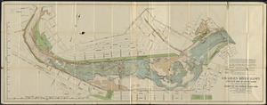
Charles River Basin contour map of lower basin from surveys and soundings made in Aug. and Sept. 1902 for Committee on Charles...
82.
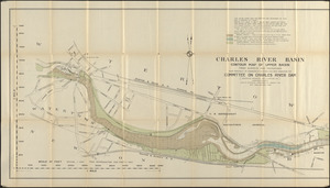
Charles River Basin contour map of upper basin from surveys and soundings
83.
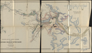
Charles River, Boston Harbor, and the proposed Charles River basin : prepared to accompany report made to Henry L. Higginson,...
84.
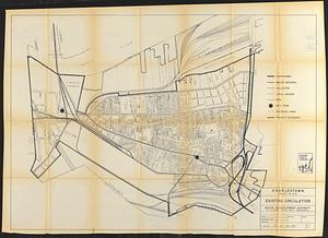
Charlestown project no. Mass r-42 (GN) : existing circulation
85.
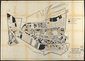
Charlestown project no. Mass r-42 (GN) : generalized building conditions
86.
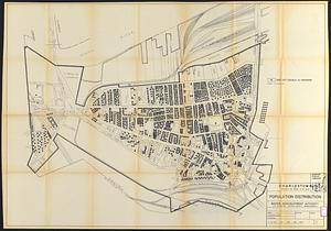
Charlestown project no. Mass r-42 (GN) : population distribution
87.
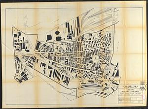
Charlestown project no. Mass r-42 (GN) : existing building coverage
88.
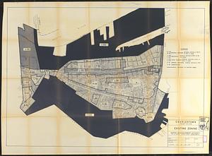
Charlestown project no. Mass r-42 (GN) : existing zoning
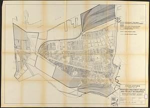
89.
Charlestown project no. Mass r-42 (GN) : proposed treatment areas and project boundaries
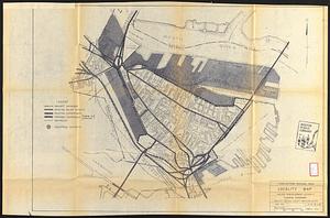
90.
Charlestown renewal area : locality map
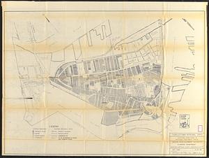
91.
Charlestown renewal area : existing conditions & proposed treatment areas
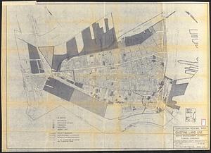
92.
Charlestown renewal area : existing land use
93.
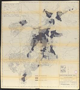
Charlestown renewal area : blighted areas
94.
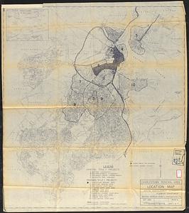
Charlestown renewal area : location map
95.
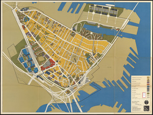
Charlestown urban renewal area, Massachusetts R-55 : illustrative site plan
96.
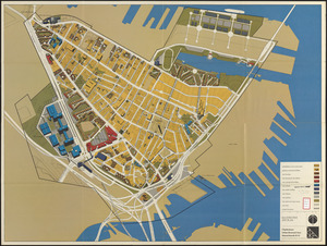
Charlestown urban renewal area Massachusetts R-55 : illustrative site plan
97.
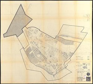
Charlestown urban renewal area r-42 : GNRP map no. 2
98.
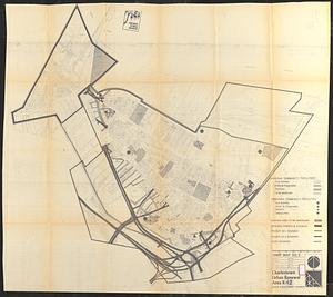
Charlestown urban renewal area r-42 : GNRP map no. 1
99.
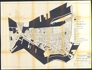
Charlestown urban renewal area r-55 : existing land use
100.
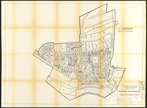
Charlestown urban renewal area r-55 : building deficiencies
« Previous
Next »
1
2
3
4
5
6
7
8
9
…
24
25