Toggle navigation
LMEC Home
Collections
My Favorites
Exhibitions
Georeferencing
Tools for Teachers
Sign Up / Log In
Search
Search the map portal
Search
Search
Search for
Search in
All Fields
Title
Subject
Place
Creator
Search All Digital Collections
Advanced Search
143 Results
Search Constraints
My Search
Start Over
More like
commonwealth:s4659w37z
Remove constraint More like: commonwealth:s4659w37z
Filter your Search
Show filters
Hide filters
Place
North and Central America
128
United States
127
Massachusetts
52
Virginia
23
Boston
8
Confederate States of America
8
Suffolk (county)
8
Richmond
6
more
Place
»
Topic
United States--History--Civil War, 1861-1865--Maps
54
Massachusetts--Maps
18
Virginia--History--Civil War, 1861-1865--Maps
10
Confederate States of America--History--Maps
8
Land use--Massachusetts--Maps
7
Connecticut--Maps
6
Watersheds--Massachusetts--Maps
5
Boston Metropolitan Area (Mass.)--Maps
4
more
Topic
»
Creator
MassGIS (Office : Mass.)
20
Massachusetts. Executive Office of Environmental Affairs
16
Michler, N. (Nathaniel), 1827-1881
15
Weyss, J. E.
13
New York Lithographing, Engraving and Printing Co.
12
Strasser, J.
11
Theilkuhl, F.
11
United States. Army. Corps of Engineers
11
more
Creator
»
Format
Maps/Atlases
140
Ephemera
2
Documents
1
Manuscripts
1
Posters
1
Georeferenced
Yes
13
No
130
Collection
Norman B. Leventhal Map & Education Center Collection
143
David Judkins Weaver Papers
98
Boston and New England Maps
63
Urban Maps
7
Applied Geographics, Inc. Records
1
Available to use
No known restrictions
143
Sort
by relevance
relevance
title
date (asc)
date (desc)
recently added
Number of results to display per page
10
per page
per page
10
per page
20
per page
50
per page
100
per page
Search Results
131.
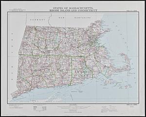
States of Massachusetts, Rhode Island and Connecticut : base map with highways and contours
132.
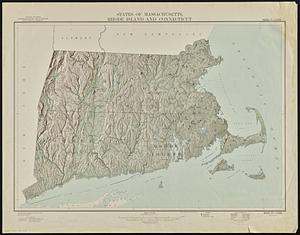
States of Massachusetts, Rhode Island and Connecticut : shaded relief
133.
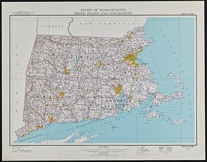
States of Massachusetts, Rhode Island and Connecticut : base map with highways and contours
134.
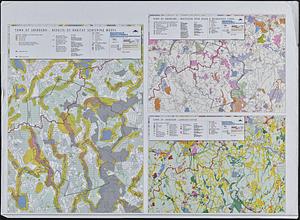
Town of Sherborn protected open space and land use
135.
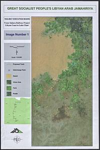
Trans Sahara Railway project
136.
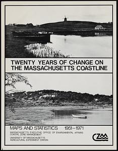
Twenty years of change on the Massachusetts coastline : maps and statistics, 1951-1971
137.
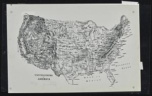
The United States of America circa 1900
138.
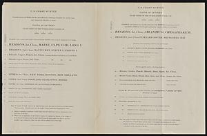
U.S. Coast Survey classification and rules for the miscellaneous lettering of names &c. on the map, not connected with title or...
139.
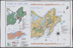
Views of Cape Ann
140.
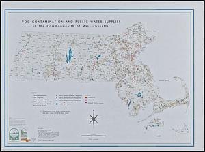
VOC contamination and public water supplies in the commonwealth of Massachusetts
« Previous
Next »
1
2
…
10
11
12
13
14
15