Toggle navigation
LMEC Home
Collections
My Favorites
Exhibitions
Georeferencing
Tools for Teachers
Sign Up / Log In
Search
Search the map portal
Search
Search
Search for
Search in
All Fields
Title
Subject
Place
Creator
Search All Digital Collections
Advanced Search
170 Results
Search Constraints
My Search
Start Over
More like
commonwealth:rx918q82w
Remove constraint More like: commonwealth:rx918q82w
Filter your Search
Show filters
Hide filters
Place
North and Central America
157
United States
154
Massachusetts
121
Middlesex (county)
21
Bristol (county)
9
Suffolk (county)
9
Boston
8
Plymouth (county)
8
more
Place
»
Topic
Massachusetts--Maps
21
Maine--Maps
5
Merrimack River Watershed (N.H. and Mass.)--Maps
5
Dedham (Mass.)--Maps
4
Election districts--Massachusetts--Maps
4
Land use--Massachusetts--Maps
4
Massachusetts--Administrative and political divisions--Election districts--Maps
4
Massachusetts--Photomaps--Indexes
4
more
Topic
»
Creator
Applied Geographics, Inc.
68
MassGIS (Office : Mass.)
57
Massachusetts. Executive Office of Environmental Affairs
32
Geological Survey (U.S.)
14
Massachusetts Bays Program
9
Massachusetts Coastal Zone Management Office
9
National Ocean Survey
7
Massachusetts. Department of Environmental Protection
4
more
Creator
»
Format
Maps/Atlases
169
Ephemera
1
Georeferenced
Yes
6
No
164
Collection
Norman B. Leventhal Map & Education Center Collection
170
Applied Geographics, Inc. Records
166
Boston and New England Maps
131
Urban Maps
28
Maritime Charts and Atlases
17
Available to use
No known restrictions
170
Sort
by date (asc)
relevance
title
date (asc)
date (desc)
recently added
Number of results to display per page
50
per page
per page
10
per page
20
per page
50
per page
100
per page
Search Results
1.
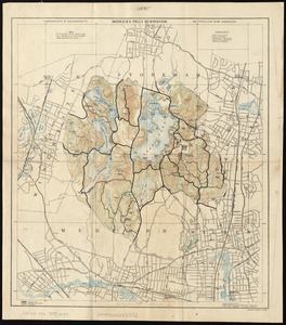
Map of Middlesex Fells showing the territory situated in various towns designed to be set apart as a public domain for the...
2.
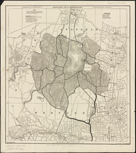
Middlesex Fells Reservation
3.
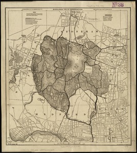
Middlesex Fells Reservation
4.
Middlesex Fells Reservation
5.
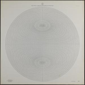
Equatorial azimuthal equidistant projection
6.
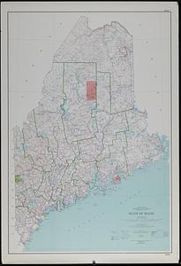
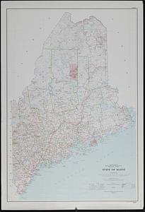
State of Maine : base map with highways and contours
7.
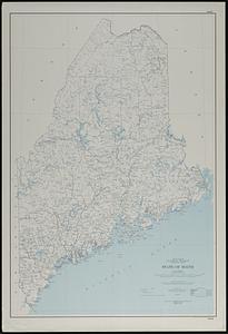
State of Maine : base map
8.
Dallas sectional aeronautical chart
9.
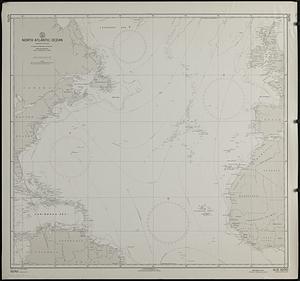
North Atlantic Ocean : compiled from various sources
10.
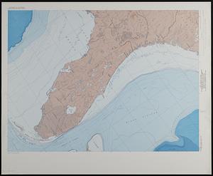
Map showing relation of land and submarine topography, Nova Scotia to Florida
11.
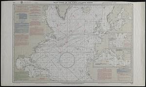
Pilot chart of the North Atlantic Ocean
12.
United States of America, showing the extent of public land surveys, remaining public land, historical boundaries, national...
13.
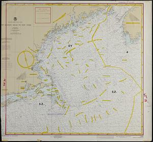
New England fishery management region
14.
Boston
15.
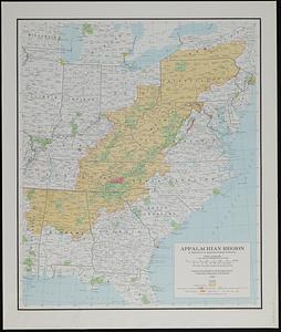
Appalachian region, as designated by the Appalachian Regional Commission 1967
16.
Columbus, Ohio : 1:250,000 series (clinometric)
17.
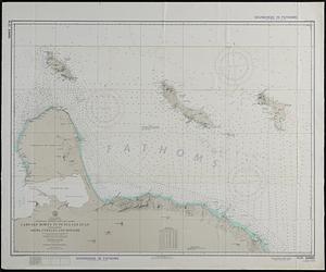
South America, Caribbean Sea, Venezuela--Netherlands West Indies, Cabo San Román to Punta San Juan including Aruba, Curaçao,...
18.
The world
19.
Santa Maria
20.
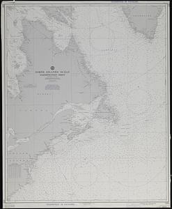
North Atlantic Ocean, northwestern sheet
21.
The United States
22.
Albany
23.
Eastport
24.
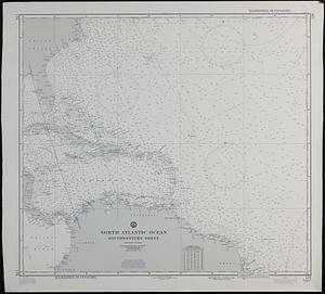
North Atlantic Ocean, southwestern sheet
25.
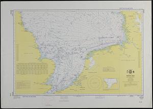
North Sea, southern sheet
26.
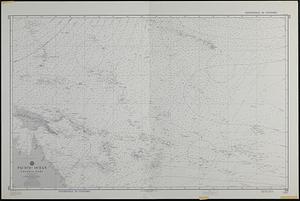
Pacific Ocean, central part
27.
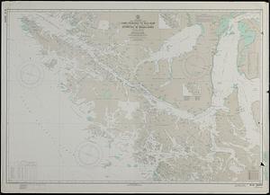
South America, Chile--southwest coast, Cabo Deseado to Isla Noir including the western part of Estrecho de Magallanes (Strait...
28.
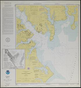
United States--east coast, Maryland, Annapolis Harbor
29.
Los Angeles
30.
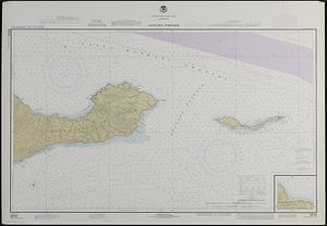
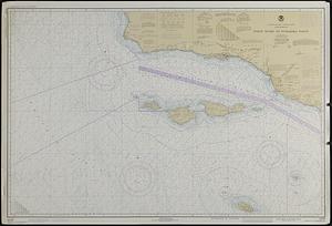
United States--west coast, California, Anacapa Passage
31.
Beaufort quadrangle, South Carolina-Georgia : 1:100 000-scale series (topographic-bathymetric)
32.
Geologic map of Mars
33.
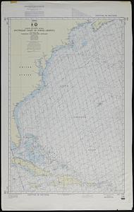
North Atlantic Ocean, southeast coast of North America, including the Bahamas and Greater Antilles
34.
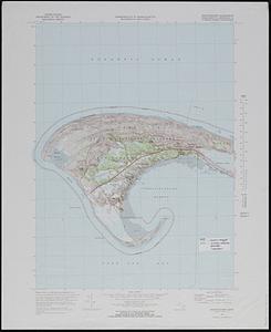
Provincetown quadrangle, Massachusetts-Barnstable Co., 1972 : 7.5 minute series (topographic)
35.
United States--west coast, California, Point Dume to Purisima Point
36.
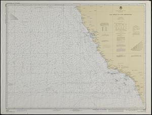
United States--west coast, California, San Diego to Cape Mendocino
37.
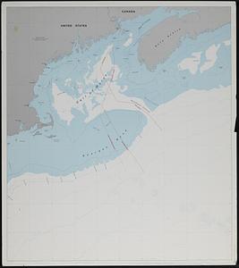
U.S. and Canadian maritime boundary claims off of the Atlantic coast
38.
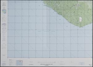
Operational navigation chart 1:1,000,000 : ONC L-1, Guinea, Ivory Coast, Liberia, Sierra Leone
39.
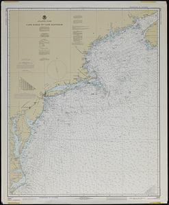
Atlantic coast, Cape Sable to Cape Hatteras
40.
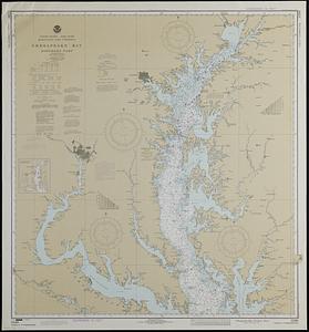
United States--east coast, Maryland and Virginia, Chesapeake Bay, northern part
41.
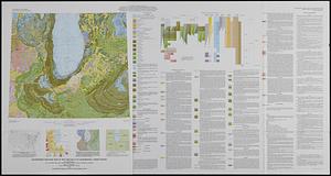
Quaternary geologic map of the Chicago 4° x 6° quadrangle, United States
42.
State of Maine : base map with highways and contours
43.
Soil survey of Essex County, Massachusetts southern part
44.
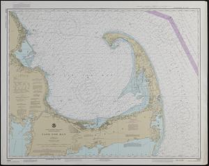
United States--east coast, Massachusetts, Cape Cod Bay
45.
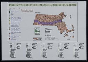
1985 land use in the Mass. Turnpike corridor
46.
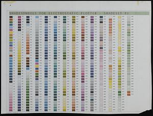
Shade symbols for electrostatic plotter - shadeset P1
47.
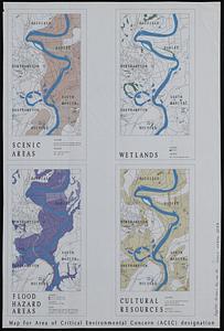
Map for area of critical environmental concern (ACEC) designation
48.
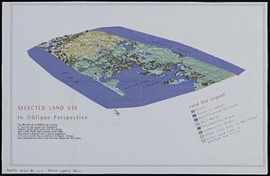
Selected land use in oblique perspective
49.
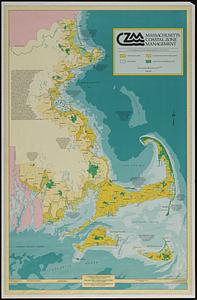
Massachusetts coastal zone management
50.
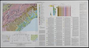
Quaternary geologic map of the Savannah 4° x 6° quadrangle, United States
« Previous
Next »
1
2
3
4