Toggle navigation
LMEC Home
Collections
My Favorites
Exhibitions
Georeferencing
Tools for Teachers
Sign Up / Log In
Search
Search the map portal
Search
Search
Search for
Search in
All Fields
Title
Subject
Place
Creator
Search All Digital Collections
Advanced Search
9166 Results
Search Constraints
My Search
Start Over
More like
commonwealth:rr174d25c
Remove constraint More like: commonwealth:rr174d25c
Filter your Search
Show filters
Hide filters
Place
North and Central America
6,347
United States
5,251
Massachusetts
2,372
Europe
1,417
Suffolk (county)
1,268
Boston
1,237
Canada
462
Asia
446
more
Place
»
Topic
Boston (Mass.)--Maps
768
United States--Maps
294
Real property--Massachusetts--Boston--Maps
200
City planning--Massachusetts--Boston--Maps
177
Massachusetts--Maps
176
Landowners--Massachusetts--Boston--Maps
147
New England--Maps
111
North America--Maps--Early works to 1800
103
more
Topic
»
Creator
United States. Hydrographic Office
597
Boston Redevelopment Authority
178
O.H. Bailey & Co
148
Des Barres, Joseph F. W. (Joseph Frederick Wallet), 1722-1824
123
United States. Post Office Dept
120
Geological Survey (U.S.)
101
Ptolemy, 2nd cent
100
Walling, Henry Francis, 1825-1888
94
more
Creator
»
Format
Maps/Atlases
9,101
Manuscripts
215
Prints
56
Books
39
Objects/Artifacts
13
Drawings/Illustrations
8
Posters
5
Ephemera
4
more
Format
»
Georeferenced
Yes
1,005
No
8,161
Collection
Norman B. Leventhal Map & Education Center Collection
9,004
Boston and New England Maps
2,502
Urban Maps
2,211
Maritime Charts and Atlases
1,083
American Revolutionary War-Era Maps
647
Boston Redevelopment Authority Collection
210
Mapping Boston Collection
20
Massachusetts Real Estate Atlases
12
more
Collection
»
Available to use
No known restrictions
8,951
Creative Commons license
85
Sort
by title
relevance
title
date (asc)
date (desc)
recently added
Number of results to display per page
100
per page
per page
10
per page
20
per page
50
per page
100
per page
Search Results
101.
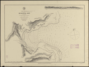
Africa--east coast, coast of Zanzibar, Mchinga Bay (Port Nungwa) : from a British survey by the officers of H.M.S. Nassau, 1874...
102.
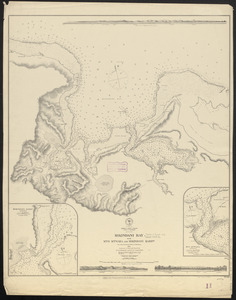
Africa--east coast, coast of Zanzibar, Mikindani Bay with Mto Mtwara and Mikindani Harbrs : from a British survey by the...
103.
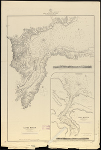
Africa--east coast, harbors on the coast of Zanzibar : from a British survey by the officers of H.M.S. Nassau, 1874 :...
104.
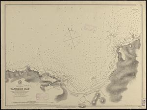
Africa--north coast, Strait of Gibraltar, Tangier Bay : from a French survey in 1855 ; republication of the Brit. Admty. chart...
105.
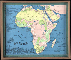
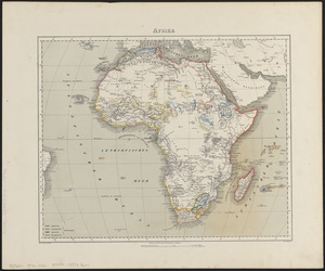
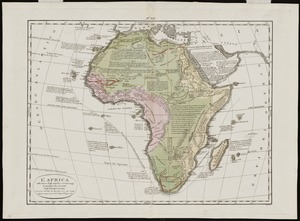
Afrika
106.
Afrika
107.
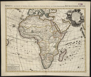
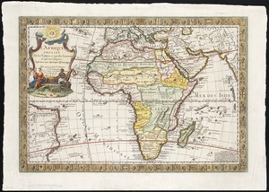
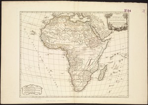
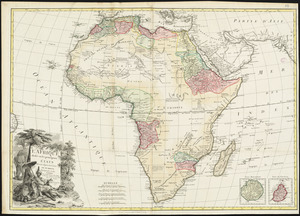
L'Afrique
108.
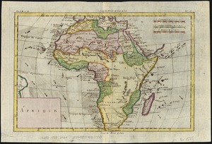
L'Afrique : dressée sur les relations e nouvelles decouvertes de differens voyageurs, conformes aux observations astronomiques
109.
L'Afrique : dressée, sur les relations les plus recentes, et assujettie aux observations astronomiques
110.
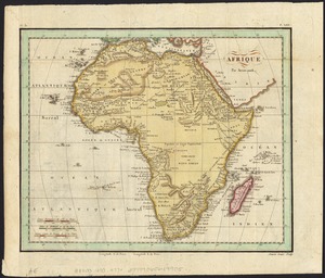
Afrique
111.
Afrique
112.
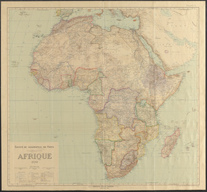
Afrique 1899
113.
L'Afrique, colle tracce degli antichi e recenti viaggi si marittimi che terrestri degli Europei in essa
114.
L'Afrique divisée en ses principaux états
115.
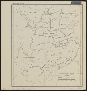
Agricultural areas of China
116.
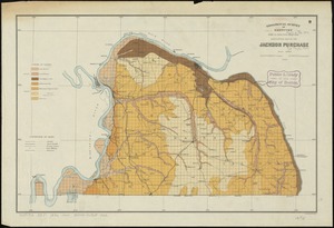
Agricultural map of the Jackson Purchase
117.
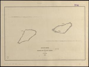
Ahii and Manhii or Peacock and Wilsons Islands
118.
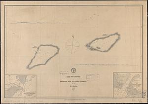
Ahii and Manhii or Peacock and Wilsons Islands
119.
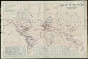
Airways of the world on Mercator's projection
120.
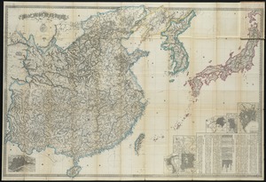
Ajia tōbu yochizu
121.
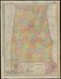
Alabama
122.
Alabama National Forest, Alabama
123.
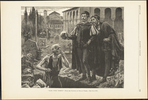
Alas, poor Yorick!--from the painting by Horace Fisher
124.
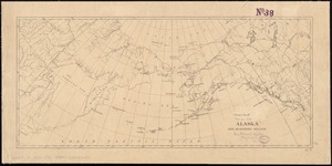
Alaska and adjoining region
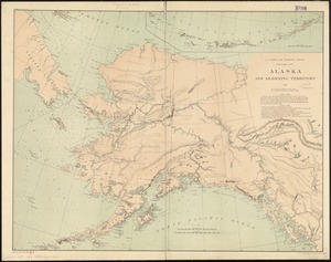
125.
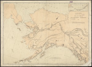
Alaska and adjoining territory
126.
Alaska and adjoining territory
127.
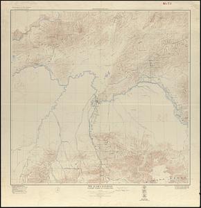
The Alaska Railroad
128.
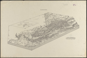
Albania
129.
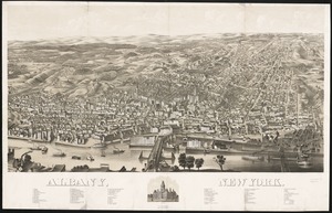
Albany, New York : 1879
130.
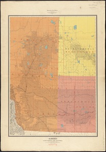
Alberta and western portions of Saskatchewan and Assiniboia
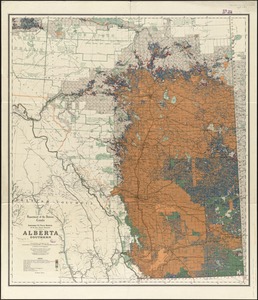
131.
Alberta, southern : map showing disposition of lands
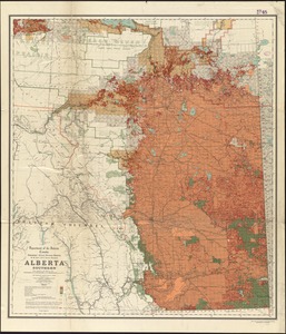
132.
Alberta, southern : map showing disposition of lands
133.
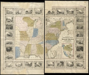
Alden's pictorial map of the United States of North America
134.
Aleutian Archipelago
135.
Aleutian Archipelago
136.
Aleutian Archipelago
137.
Algemeene Kaart van de Colonie of Provintie van Suriname, met de rivieren, districten, ontdekkingen door Militaire Togten, en...
138.
Algemeene Kaart van de Colonie of Provintie van Suriname, met de rivieren, districten, ontdekkingen door Militaire Togten, en...
139.
Algemeene kaart van het Koningrijk der Nederlanden, in 1816 zamengesteld
140.
Algemeene kaart van Nederlandsch Oostindie : met hoogstdeszelfs toestemming opgedragen aan zijne Majesteit den Koning der...
141.
Algeria and Tunisia, port capacities and major transport routes
142.
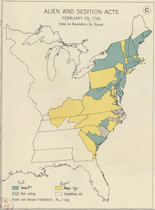
Alien and Sedition Acts, February 25, 1799, Votes on resolutions for repeal
143.
Alla serma. sigra. principsa. d'Vrbino Grandvchessa di Toscana sva sigra. d: Roberto Dvdleo Dvca di Northumbria
144.
[Alleen de Caribische Eilanden, vervat in 't groot]
145.
Allergy map of the continental United States, showing the monthly incidence of grass pollen, tree pollen, ragweed pollen
146.
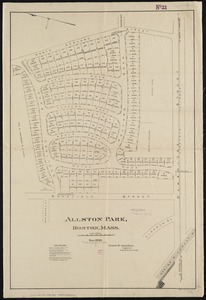
Allston Park, Boston, Mass
147.
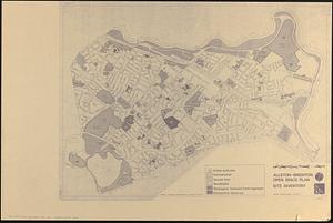
Allston-Brighton open space plan site inventory
148.
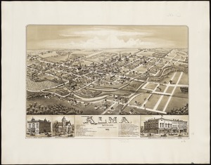
Alma, Michigan : 1885
149.
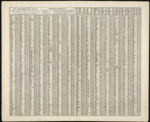
An alphabetical table of all the cities, towns, villages and all other places of merit in the Kingdom of France, & circumjacent...
150.
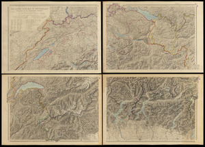
The Alpine Club map of Switzerland with parts of the neighbouring countries
151.
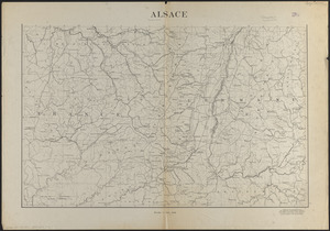
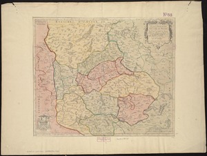
Alsace
152.
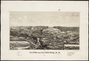
Alton and Alton Bay, N.H : 1888
153.
Ambivareti in Aeduis, ubi postea Vadicasses : Evesché de Nevers
154.
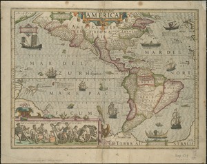
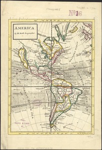
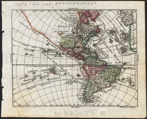
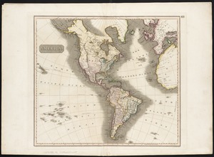
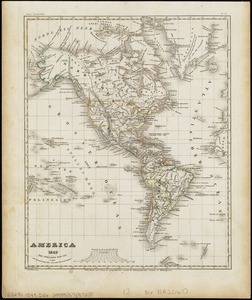
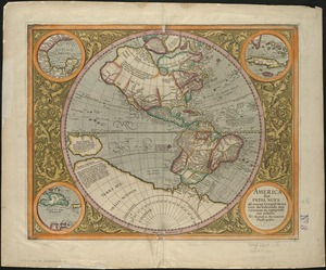
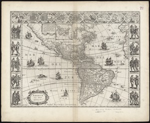
America
155.
America : with those known parts in that unknowne worlde both people and manner of buildings discribed and inlarged
156.
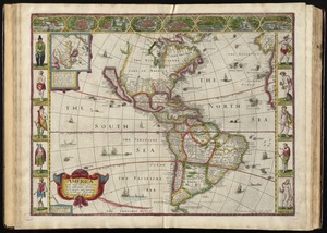
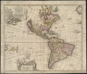
America
157.
America
158.
America
159.
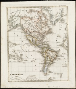
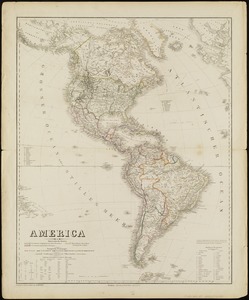
America : nach Arrowsmith, Brué und Lapie mit Benutzung der neuesten-Vermessungen
160.
America : Nach Arrowsmith, Brué und Lapie mit Benutzung der neuesten Vermessungen
161.
America
162.
America : beauty, wonders, inspiration, progress, without end
163.
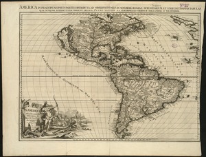
America in praecipuas ipsius partes distributa ad observationes Academiae regiae scientiarum : et exquisitissimas tabulas quae...
164.
America meridionalis
165.
America Meridionalis concinata juxta observationes Dun Acad. Regalis Scientiarum et nonnullorum aliorum
166.
America nouiter delineata
167.
America noviter delineata
168.
America noviter delineata
169.
America septentrionalis
170.
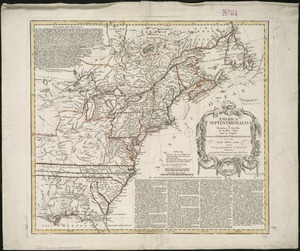
America Septentrionalis
171.
America Septentrionalis : concinnata juxta observationes Dnn Academiae Regalis Scientiarum et nonnullorum aliorum, et juxta...
172.
America Septentrionalis a Domino d'Anville in Galliis edita nunc in Anglia : Coloniis in interiorem Virginiam deductis nec non...
173.
America Septentrionalis novissima : America Meridionalis accuratissima
174.
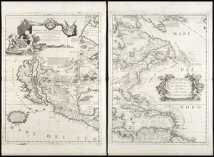
America Settentrionale : colle nuove scoperte fin alle' anno 1688 divisa nelle sue partu secondo lo stato presente
175.
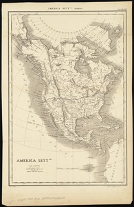
America settle
176.
America, siue, India Nova : ad magnae Gerardi Mercatoris aui vniversalis imitationem in compendium redacta
177.
America siue India Nova ad magnae Gerardi Mercatoris aut Vniversalis imitationem in compendium redacta
178.
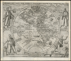
America sive novvs orbis respectv Evropaeorvm inferior globi terrestris pars
179.
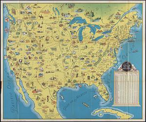
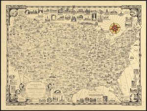
America the wonderland : a pictorial map of the United States
180.
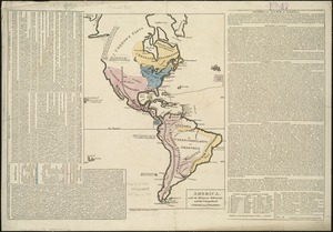
America, with the European Settlements, and the conquests of Cortes and Pizarro
181.
America with those known parts in that unknowne worlde both people and manner of buildings
182.
America with those known parts in that unknowne worlde both people and manner of buildings
183.
Americae
184.
Americae
185.
Americae mappa generalis : secundum legitimas projectionis stereographicae regulas relationesque recentissimas et observationes...
186.
Americae nova descriptio
187.
Americae nova discriptio
188.
Americae nova tabula
189.
Americae nova tabula
190.
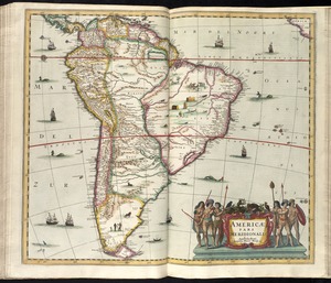
Americae pars meridionalis
191.
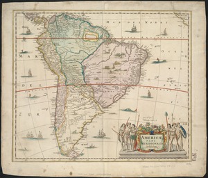
Americae pars meridionalis
192.
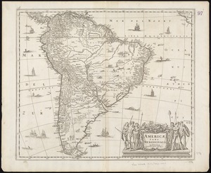
Americae pars meridionalis
193.
Americæ pars, nunc Virginia dicta, primum ab Anglis inuenta, sumtibus Dn. Walteri Raleigh, equestris ordinis Viri, Anno Dn̄i....
194.
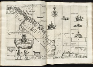
Americae siue noui orbis, noua descriptio
195.
Americae sive Indiae Occidentalis : tabula generalis
196.
Americae tam septentrionalis quam meridionalis in mappa geographica delineatio
197.
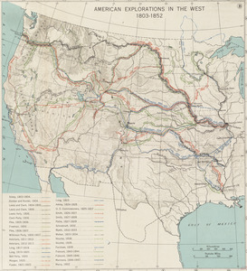
American explorations in the West, 1803-1852
198.
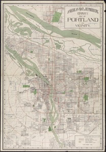
American Map and Reproducing Company's map of Portland and vicinity
199.
The American Pilot [title page]
200.
American Radiator Company trade card
« Previous
Next »
1
2
3
4
5
6
…
91
92