Toggle navigation
LMEC Home
Exhibitions
Georeferencing
Tools for Teachers
Collections
My Favorites
Sign Up / Log In
Search
Search the map portal
Map Collection
Map Collection
Map Sets
Search
Search
Search for
Search In
All Fields
Creator
Title
Subject
Place
Search All Digital Collections
Advanced Search
559 Results
My Search
Start Over
More Like
commonwealth:q524nc41m
Remove constraint More Like: commonwealth:q524nc41m
Filter your Search
Place
North and Central America
490
United States
364
New York
42
Charleston (county)
22
Canada
20
Florida
20
Charleston
19
Alabama
15
more
Place
»
Topic
Manuscript maps--Early works to 1800
92
Manuscript maps
84
Charleston (S.C.)--Maps--Early works to 1800
12
Gulf Coast (U.S.)--Maps, Manuscript--Early works to 1800
12
Fortification--New York (State)--New York--Maps--Early works to 1800
11
New York (N.Y.)--Buildings, structures, etc--Maps, Manuscript--Early works to 1800
9
New York (N.Y.)--Maps, Manuscript--Early works to 1800
8
Saratoga Campaign, N.Y., 1777--Maps, Manuscript--Early works to 1800
8
more
Topic
»
Date
Date range begin
–
Date range end
Current results range from
1620
to
1900
View distribution
Creator
Hills, John, (Surveyor)
18
Montrésor, John, 1736-1799
17
Bingham, William, 1752-1804
12
Washington, George, 1732-1799
11
Adlum, John, 1759-1836
10
Faden, William, 1749-1836
8
Morgan, Benjamin, (Draftsman)
7
Wangenheim, Friedrich Adam Julius von
7
more
Creator
»
Format
Maps/Atlases
557
Manuscripts
539
Objects/Artifacts
2
Georeferenced
Yes
6
No
553
Collection
American Revolutionary War-Era Maps
493
Library of Congress Collection
481
Norman B. Leventhal Map Center Collection
73
Maritime Charts and Atlases
38
Urban Maps
17
Boston and New England Maps
8
British Library Collection
2
Harvard Map Collection
2
more
Collection
»
Available to use
Creative Commons license
489
No known restrictions
70
Search Constraints
Sort by relevance
relevance
title
date (asc)
date (desc)
Number of results to display per page
20 per page
10
per page
20
per page
50
per page
100
per page
View results as:
grid view
map view
Search Results
1.
The ICHNOGRAPHY of CHARLES-TOWN, at High Water
2.
20 tracts, Tioga County
3.
Armstrong C[ount]y
4.
Dto de Baton Rouge
5.
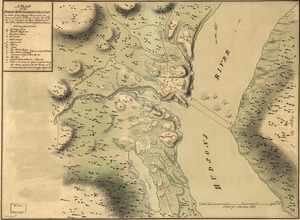
Map of Stony and Verplanck Points on the Hudson River as fortified by Sir Henry Clinton June 1779
6.
Map of the north shore of Lake Pontchartrain between Bayou Chenchuba and Bayou Lacombe, Louisiana
7.
Map of the Rigolet and the mouth of the Pearl River, Louisiana and Mississippi
8.
A Map of the Trenton and New-Brunswick Turnpike-road
9.
Mapa de las locaciones del Distrito de la Na Feliciana
10.
Mapa de las locaciones del Distrito de Manchack
11.
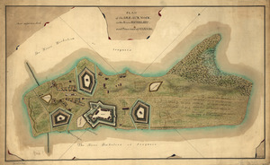
Part of a map of the Hudson Highlands showing Forts Clinton and Montgomery
12.
Plan des ouvrages faits à York-town en Virginie
13.
Plan of the attack of Fort Clinton and Montgomery which where [sic] stormed by His Majesty's forces : under the command of Sr....
14.
A plan of the Forts Montgomery & Clinton : as taken by His Majesty's forces under the command of Genl. Sr. Henry Clinton the...
15.
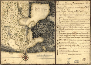
Plan of the Isle aux Noix, in the River Richelieu, and Province of Canada
16.
Plano de la Baía de Guantánamo, en la ysla de Cuva, cuya boca se alla en latitud N. 20 gs. y en la longitd. de Thenerife 301...
17.
Portion of a map of Feliciana District, Spanish Louisiana, from the Lac de la Croix to Thompson's Creek
18.
Position du camp de l'armée combinée a Philipsburg du 6 juillet au 19 aoust
19.
Siege d'York, 1781 : Plan d'York en Virginie avec les attaques et les campemens de l'Armée combinée de France et d'Amérique
20.
Sketch of Forts Clinton & Montgomery : stormed the 6th Octob. 1777 by the troops under the command of Sir Henry Clinton, K.B.,...
‹ Prev
Next ›
1
2
3
4
5
…
27
28

![Armstrong C[ount]y](https://bpldcassets.blob.core.windows.net/derivatives/images/commonwealth:q524ng353/image_thumbnail_300.jpg)


![Plan of the attack of Fort Clinton and Montgomery which where [sic] stormed by His Majesty's forces](https://bpldcassets.blob.core.windows.net/derivatives/images/commonwealth:q524nj90k/image_thumbnail_300.jpg)