Search Constraints
Search Results


![[Bay of Seven Islands]](https://bpldcassets.blob.core.windows.net/derivatives/images/commonwealth:7h149v48t/image_thumbnail_300.jpg)
![[Chart of the coast of Quebec from the Riviere St. Jean to Grand Hermine Bay]](https://bpldcassets.blob.core.windows.net/derivatives/images/commonwealth:7h149v50v/image_thumbnail_300.jpg)
![[Chart of the gulf and river of St. Lawrence]](https://bpldcassets.blob.core.windows.net/derivatives/images/commonwealth:7h149v39v/image_thumbnail_300.jpg)


![[The St. Lawrence River from the Chaudiere River to Pointe aux Coques]](https://bpldcassets.blob.core.windows.net/derivatives/images/commonwealth:7h149v425/image_thumbnail_300.jpg)


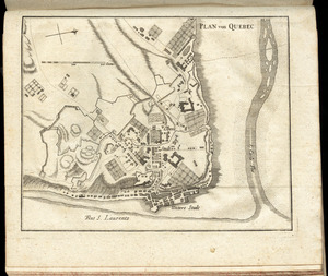
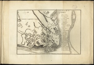
19. Plan von Quebec


23. 1630 shoreline


29. 227 Harzgerode

30. 305 Glatz


32. 4 Kinten

![[A chart of Boston Bay and vicinity]](https://bpldcassets.blob.core.windows.net/derivatives/images/commonwealth:cj82m2976/image_thumbnail_300.jpg)


74. Adriatic


76. Aegyptus Antiqua


87. Africa


89. Africa

90. Africa

91. Africa

92. Africa

93. Africa


