Toggle navigation
LMEC Home
Exhibitions
Georeferencing
Tools for Teachers
Collections
My Favorites
Sign Up / Log In
Search
Search the map portal
Map Collection
Map Collection
Map Sets
Search
Search
Search for
Search In
All Fields
Creator
Title
Subject
Place
Search All Digital Collections
Advanced Search
3 Results
My Search
Start Over
More Like
commonwealth:q524mt571
Remove constraint More Like: commonwealth:q524mt571
Filter your Search
Place
Chesapeake Bay
3
North and Central America
3
Maryland
2
Delaware
1
Delmarva Peninsula
1
Pennsylvania
1
United States
1
Virginia
1
Topic
Chesapeake Bay Region (Md. and Va.)--Maps--Early works to 1800
2
Boundary disputes--Maps--Early works to 1800
1
Chesapeake Bay (Md. and Va.)--Maps--Early works to 1800
1
Delaware--Maps--Early works to 1800
1
Delmarva Peninsula--Maps--Early works to 1800
1
Manuscript maps--Early works to 1800
1
Maryland--Boundaries--Pennsylvania--Maps--Early works to 1800
1
Maryland--Maps--Early works to 1800
1
more
Topic
»
Date
Date range begin
–
Date range end
Current results range from
1638
to
1781
View distribution
Creator
Baltimore, Charles Calvert, Baron, 1699-1751
1
George, III, King of Great Britain, 1738-1820
1
Hills, John, surveyor
1
Hondius, Hendrik, 1597-1651
1
Hutchinson, Thomas (Engraver and draughtsman)
1
Paris, Ferdinand John
1
Penn, John, 1700-1746
1
Penn, Richard, 1706-1771
1
more
Creator
»
Format
Maps/Atlases
3
Manuscripts
1
Georeferenced
No
3
Collection
American Revolutionary War-Era Maps
2
British Library Collection
1
Newberry Library Collection
1
Norman B. Leventhal Map Center Collection
1
Available to use
Creative Commons license
1
No known restrictions
1
Search Constraints
Sort by relevance
relevance
title
date (asc)
date (desc)
Number of results to display per page
20 per page
10
per page
20
per page
50
per page
100
per page
View results as:
grid view
map view
Search Results
1.
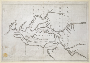
Proposed Maryland / Pennsylvania Boundary
2.
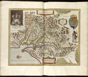
Nova Virginiae tabula
3.
Plan of the peninsula of Chesopeak [sic] Bay
![Plan of the peninsula of Chesopeak [sic] Bay](https://bpldcassets.blob.core.windows.net/derivatives/images/commonwealth:z603vn14c/image_thumbnail_300.jpg)