Toggle navigation
LMEC Home
Collections
My Favorites
Exhibitions
Georeferencing
Tools for Teachers
Sign Up / Log In
Search
Search the map portal
Search
Search
Search for
Search in
All Fields
Title
Subject
Place
Creator
Search All Digital Collections
Advanced Search
500 Results
Search Constraints
My Search
Start Over
More like
commonwealth:pn89gq46f
Remove constraint More like: commonwealth:pn89gq46f
Filter your Search
Show filters
Hide filters
Place
Massachusetts
497
North and Central America
497
United States
497
Suffolk (county)
487
Boston
486
South End
50
Roxbury
47
Downtown Boston
40
more
Place
»
Topic
City planning--Massachusetts--Boston--Maps
420
Urban renewal--Massachusetts--Boston--Maps
253
Boston (Mass.)--Maps
131
Land use--Massachusetts--Boston--Maps
101
Buildings--Massachusetts--Boston--Maps
87
Real property--Massachusetts--Boston--Maps
66
Streets--Massachusetts--Boston--Maps
47
Roxbury (Boston, Mass.)--Maps
43
more
Topic
»
Creator
Boston Redevelopment Authority
371
Downtown Waterfront Corporation
10
Victor Gruen Associates
10
Boston (Mass.). Parks and Recreation Department
8
Bromley, George Washington
8
Bromley, Walter Scott
8
Sasaki Associates
6
Boston (Mass.). Department of Parks
5
more
Creator
»
Format
Maps/Atlases
499
Drawings/Illustrations
3
Manuscripts
1
Prints
1
Georeferenced
Yes
67
No
433
Collection
Boston and New England Maps
484
Urban Maps
470
Boston Redevelopment Authority Collection
439
Norman B. Leventhal Map & Education Center Collection
108
Massachusetts Real Estate Atlases
6
Dana F. Perkins, Inc. Surveying Records
1
Available to use
No known restrictions
493
Sort
by date (asc)
relevance
title
date (asc)
date (desc)
recently added
Number of results to display per page
20
per page
per page
10
per page
20
per page
50
per page
100
per page
Search Results
21.
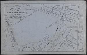
Plan of region west of Back Bay Park, Boston, Mass. : proposed improvements
22.
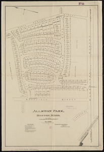
Allston Park, Boston, Mass
23.
Atlas of the city of Boston, volume seven, Brighton, Mass. : from actual surveys and official plans
24.
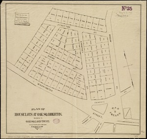
Plan of house lots at Oak Sq. Brighton : belonging to Oak Sq. Land Trust
25.
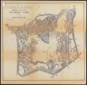
General plan of Franklin Park
26.
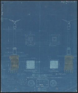
New public library building, Boston, Mass. : 1/4 inch scale drawing for foundations of columns at Dartmouth Street entrance
27.
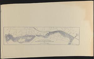
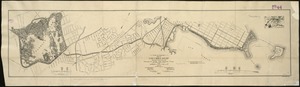
Plan of the parkway between Muddy River gate house and Jamaica Park 1892
28.
Maps of the street-lines of Boston : made for the Selectmen in 1819 and 1820
29.
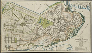
Plan of Boston proper : showing changes in street and wharf lines, 1795 to 1895
30.
Atlas of the city of Boston : volume 7, Brighton
31.
Atlas of the city of Boston : volume 7: Brighton : from actual surveys and official plans
32.
City of Boston plan of Columbia Road, showing connection with Franklin Park and Marine Park : under chapter 394 acts of 1897
33.
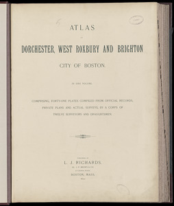
Atlas of Dorchester, West Roxbury and Brighton, city of Boston
34.
Atlas of Dorchester, West Roxbury, and Brighton, City of Boston
35.
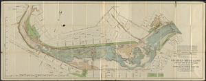
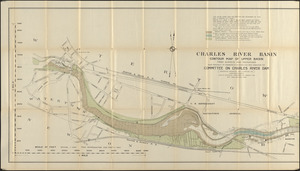
Charles River Basin contour map of lower basin from surveys and soundings made in Aug. and Sept. 1902 for Committee on Charles...
36.
Charles River Basin contour map of upper basin from surveys and soundings
37.
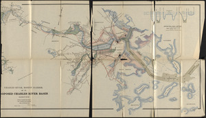
Charles River, Boston Harbor, and the proposed Charles River basin : prepared to accompany report made to Henry L. Higginson,...
38.
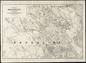
Map of Brookline and vicinity
39.
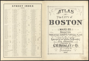
Atlas of the city of Boston : ward 25 Brighton
40.
Atlas of the city of Boston : ward 25, Brighton : from actual surveys and official plans
« Previous
Next »
1
2
3
4
5
6
…
24
25