Toggle navigation
LMEC Home
Collections
My Favorites
Exhibitions
Georeferencing
Tools for Teachers
Sign Up / Log In
Search
Search the map portal
Search
Search
Search for
Search in
All Fields
Title
Subject
Place
Creator
Search All Digital Collections
Advanced Search
503 Results
Search Constraints
My Search
Start Over
More like
commonwealth:pn89gq46f
Remove constraint More like: commonwealth:pn89gq46f
Filter your Search
Show filters
Hide filters
Place
Massachusetts
500
North and Central America
500
United States
500
Suffolk (county)
490
Boston
489
South End
50
Roxbury
47
Fens
42
more
Place
»
Topic
City planning--Massachusetts--Boston--Maps
422
Urban renewal--Massachusetts--Boston--Maps
253
Boston (Mass.)--Maps
131
Land use--Massachusetts--Boston--Maps
101
Buildings--Massachusetts--Boston--Maps
87
Real property--Massachusetts--Boston--Maps
68
Streets--Massachusetts--Boston--Maps
47
Fenway (Boston, Mass.)--Maps
43
more
Topic
»
Creator
Boston Redevelopment Authority
371
Downtown Waterfront Corporation
10
Victor Gruen Associates
10
Boston (Mass.). Parks and Recreation Department
8
Bromley, George Washington
8
Bromley, Walter Scott
8
Sasaki Associates
6
Boston (Mass.). Department of Parks
5
more
Creator
»
Format
Maps/Atlases
502
Drawings/Illustrations
3
Manuscripts
1
Prints
1
Georeferenced
Yes
67
No
436
Collection
Boston and New England Maps
487
Urban Maps
473
Boston Redevelopment Authority Collection
439
Norman B. Leventhal Map & Education Center Collection
111
Massachusetts Real Estate Atlases
6
Dana F. Perkins, Inc. Surveying Records
3
Available to use
No known restrictions
496
Sort
by title
relevance
title
date (asc)
date (desc)
recently added
Number of results to display per page
20
per page
per page
10
per page
20
per page
50
per page
100
per page
Search Results
1.
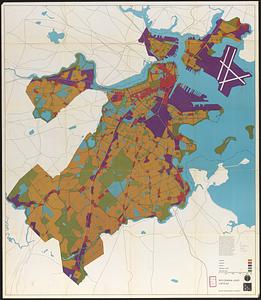
1975 general land use plan
2.
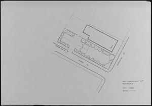
660 Wakulah St., Roxbury
3.
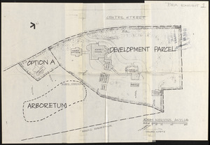
Adams Nervine Asylum
4.
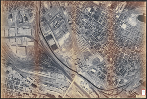
Aerial photo of Charlestown, Massachusetts
5.
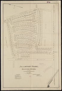
Allston Park, Boston, Mass
6.
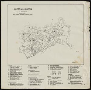
Allston-Brighton : R.I.G. planning map
7.
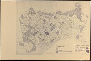
Allston-Brighton open space plan site inventory
8.
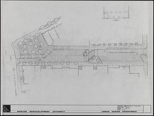
Appleton St. Woonerf
9.
Architectural styles, Chinatown historic core, historic edge
10.
Asia, South China Sea, Mui Da Nang to Shenquan Gang including Hainan Dao and Parcel Islands
11.
Atlas of Dorchester, West Roxbury and Brighton, city of Boston
12.
Atlas of Dorchester, West Roxbury, and Brighton, City of Boston
13.
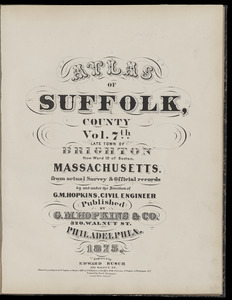
Atlas of Suffolk, county, vol. 7th, late town of Brighton, now ward 19 of Boston, Massachusetts : from actual survey & official...
14.
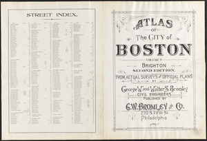
Atlas of the city of Boston : volume 7, Brighton
15.
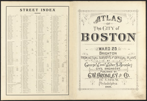
Atlas of the city of Boston : ward 25 Brighton
16.
Atlas of the city of Boston : wards 25 and 26, Brighton
17.
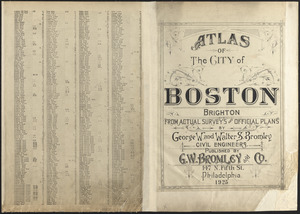
Atlas of the city of Boston : Brighton : from actual surveys and official plans
18.
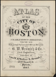
Atlas of the city of Boston : Charlestown and Brighton, volume six : from actual surveys and official records
19.
Atlas of the city of Boston : volume 7: Brighton : from actual surveys and official plans
20.
Atlas of the city of Boston : ward 25, Brighton : from actual surveys and official plans
« Previous
Next »
1
2
3
4
5
…
25
26