Toggle navigation
LMEC Home
Collections
My Favorites
Exhibitions
Georeferencing
Tools for Teachers
Sign Up / Log In
Search
Search the map portal
Search
Search
Search for
Search in
All Fields
Title
Subject
Place
Creator
Search All Digital Collections
Advanced Search
503 Results
Search Constraints
My Search
Start Over
More like
commonwealth:pn89gq46f
Remove constraint More like: commonwealth:pn89gq46f
Filter your Search
Show filters
Hide filters
Place
Massachusetts
500
North and Central America
500
United States
500
Suffolk (county)
490
Boston
489
South End
50
Roxbury
47
Fens
42
more
Place
»
Topic
City planning--Massachusetts--Boston--Maps
422
Urban renewal--Massachusetts--Boston--Maps
253
Boston (Mass.)--Maps
131
Land use--Massachusetts--Boston--Maps
101
Buildings--Massachusetts--Boston--Maps
87
Real property--Massachusetts--Boston--Maps
68
Streets--Massachusetts--Boston--Maps
47
Fenway (Boston, Mass.)--Maps
43
more
Topic
»
Creator
Boston Redevelopment Authority
371
Downtown Waterfront Corporation
10
Victor Gruen Associates
10
Boston (Mass.). Parks and Recreation Department
8
Bromley, George Washington
8
Bromley, Walter Scott
8
Sasaki Associates
6
Boston (Mass.). Department of Parks
5
more
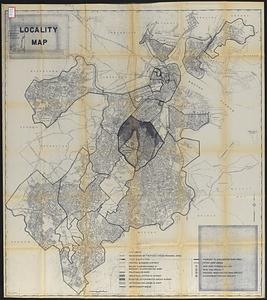
Creator
»
Format
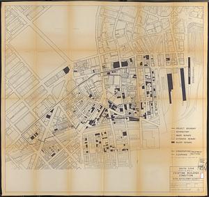
Maps/Atlases
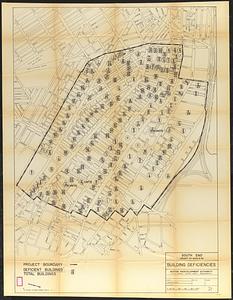
502
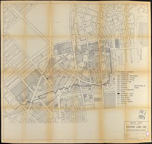
Drawings/Illustrations
3
Manuscripts
1
Prints
1
Georeferenced
Yes
67
No
436
Collection
Boston and New England Maps
487
Urban Maps
473
Boston Redevelopment Authority Collection
439
Norman B. Leventhal Map & Education Center Collection
111
Massachusetts Real Estate Atlases
6
Dana F. Perkins, Inc. Surveying Records
3
Available to use
No known restrictions
496
Sort
by date (asc)
relevance
title
date (asc)
date (desc)
recently added
Number of results to display per page
100
per page
per page
10
per page
20
per page
50
per page
100
per page
Search Results
1.
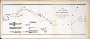
Plan of the route of pipes from Jamaica Pond, in Roxbury to the reservoir, in Boston
2.
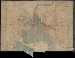
[Mill dam survey : Boston, Roxbury, Brookline &c.]
3.
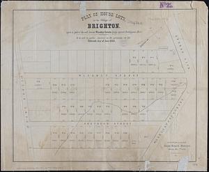
Plan of house lots in the village of Brighton : upon a part of the well known Winship Estate ... to be sold by public auction...
4.
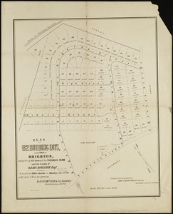
Plan of 82 building lots, in the town of Brighton, comprising 48 acres of the Parkman Farm next the estate of Saml. Bigelow...
5.
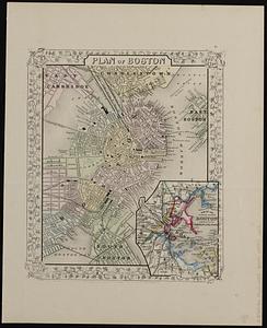
Plan of Boston
6.
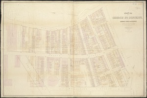
Plan of Church St. district, showing estates and buildings : as proposed to be taken by the city of Boston under the Act of the...
7.
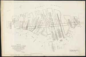
Plan of proposed Marginal Street from Broad Street at Rowe's Wharf to Commercial Street at Eastern Avenue : showing adjacent...
8.
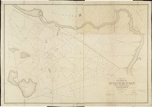
Plan of the town of Brighton
9.
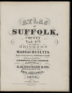
Atlas of Suffolk, county, vol. 7th, late town of Brighton, now ward 19 of Boston, Massachusetts : from actual survey & official...
10.
Atlas of the county of Suffolk, Massachusetts, vol. 7 : late town of Brighton, now ward 19 of Boston, Massachusetts
11.
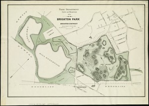
Brighton park : Brighton district
12.
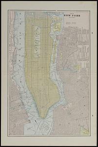
Map of New York and vicinity
13.
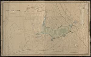
Back Bay park
14.
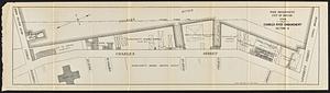
Charles River embankment, section A
15.
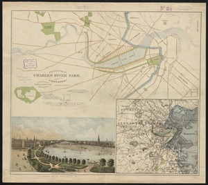
Proposed Charles River Park
16.
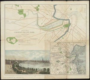
Proposed Charles River Park
17.
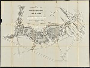
Proposed improvement of Back Bay
18.
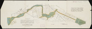
Suggestion for the improvement of Muddy River and for completing a continuous promenade from the Common to Jamaica Pond
19.
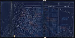
Plan no. 2 : [West Chester Park]
20.
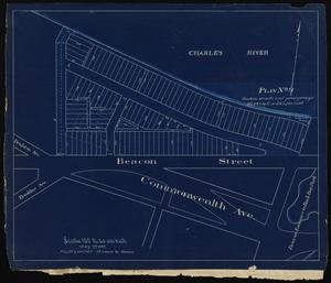
Lots at Beacon Street and Commonwealth Ave., Boston, Mass. : plan no. 9
21.
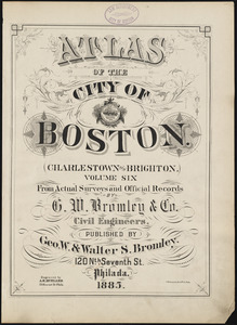
Atlas of the city of Boston : Charlestown and Brighton, volume six : from actual surveys and official records
22.
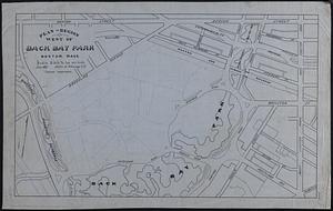
Plan of region west of Back Bay Park, Boston, Mass. : proposed improvements
23.
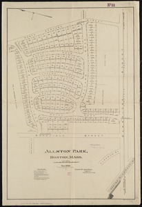
Allston Park, Boston, Mass
24.
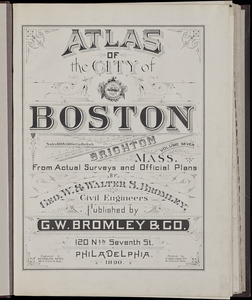
Atlas of the city of Boston, volume seven, Brighton, Mass. : from actual surveys and official plans
25.
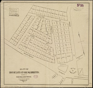
Plan of house lots at Oak Sq. Brighton : belonging to Oak Sq. Land Trust
26.
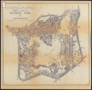
General plan of Franklin Park
27.
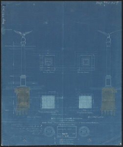
New public library building, Boston, Mass. : 1/4 inch scale drawing for foundations of columns at Dartmouth Street entrance
28.
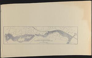
Plan of the parkway between Muddy River gate house and Jamaica Park 1892
29.
Maps of the street-lines of Boston : made for the Selectmen in 1819 and 1820
30.
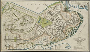
Plan of Boston proper : showing changes in street and wharf lines, 1795 to 1895
31.
Atlas of the city of Boston : volume 7, Brighton
32.
Atlas of the city of Boston : volume 7: Brighton : from actual surveys and official plans
33.
City of Boston plan of Columbia Road, showing connection with Franklin Park and Marine Park : under chapter 394 acts of 1897
34.
Atlas of Dorchester, West Roxbury and Brighton, city of Boston
35.
Atlas of Dorchester, West Roxbury, and Brighton, City of Boston
36.
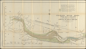
Charles River Basin contour map of lower basin from surveys and soundings made in Aug. and Sept. 1902 for Committee on Charles...
37.
Charles River Basin contour map of upper basin from surveys and soundings
38.
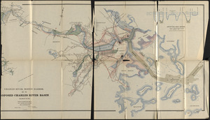
Charles River, Boston Harbor, and the proposed Charles River basin : prepared to accompany report made to Henry L. Higginson,...
39.
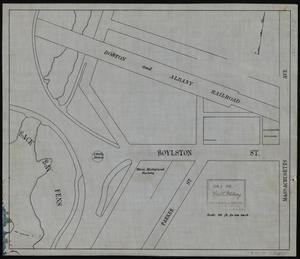
Plans of an area east of Back Bay Park bounded by Boylston and Ipswich Streets, Boston, Mass.
40.
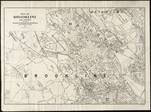
Map of Brookline and vicinity
41.
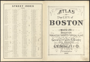
Atlas of the city of Boston : ward 25 Brighton
42.
Atlas of the city of Boston : ward 25, Brighton : from actual surveys and official plans
43.
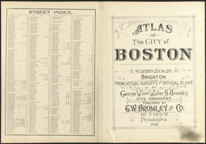
Atlas of the city of Boston : wards 25 and 26, Brighton
44.
Atlas of the city of Boston : wards 25 & 26, Brighton : from actual surveys and official plans
45.
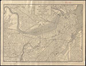
Map of central Boston and Cambridge
46.
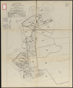
City of Boston zoning map
47.
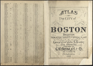
Atlas of the city of Boston : Brighton : from actual surveys and official plans
48.
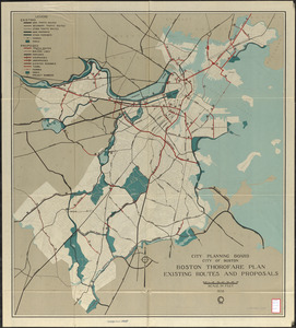
Boston thorofare plan existing routes and proposals
49.
Rose garden in Fens-Back Bay
50.
Capital Park : Hyde Park ... Boston
51.
Use of land in Boston
52.
Index map of watersheds showing sanitary districts and bacteriological sampling stations
53.
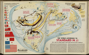
The world according to Standard (N.J.)
54.
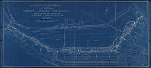
Storrow Memorial Embankment : plan of additions and changes under the requirements of Chapter 262, Acts of 1949
55.
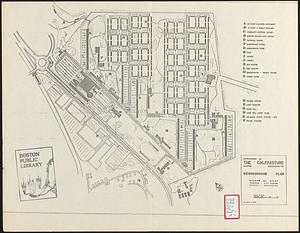
Development of the Calfpasture, Boston, Massachusetts
56.
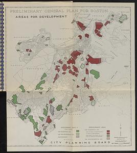
Maps from General plan for Boston : preliminary report, December, 1950
57.
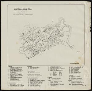
Allston-Brighton : R.I.G. planning map
58.
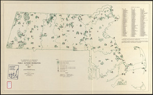
Public outdoor recreation master plan
59.
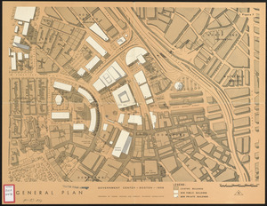
General plan : Government Center - Boston - 1959
60.
Land ownership maps for land in the Government Center urban renewal project area
61.
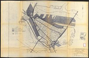
Charlestown renewal area : locality map
62.
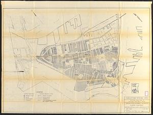
Charlestown renewal area : existing conditions & proposed treatment areas
63.
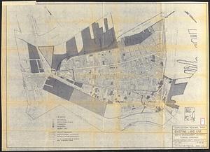
Charlestown renewal area : existing land use
64.
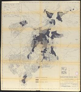
Charlestown renewal area : blighted areas
65.
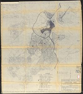
Charlestown renewal area : location map
66.
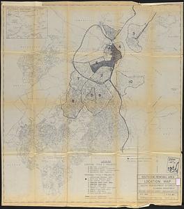
South End renewal area : location map
67.
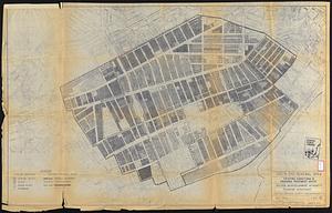
South End renewal area : existing conditions & proposed treatment areas
68.
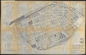
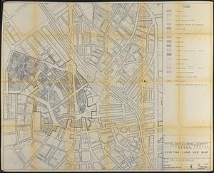
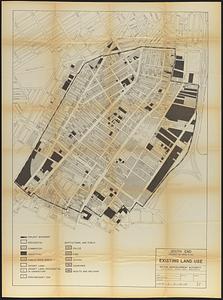
South End renewal area : existing land use
69.
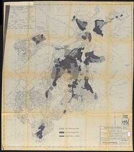
South End renewal area : blighted areas
70.
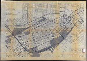
South End renewal area : locality map
71.
Master highway plan metropolitan Boston showing the Massachusetts turnpike, route 128 (circumferential highway), Boston central...
72.
Government Center project no. Mass. r-35 : existing land use map
73.
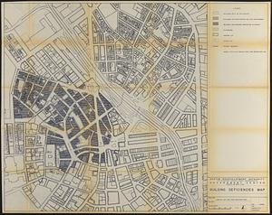
Government Center project no. Mass. r-35 : building deficiencies map
74.
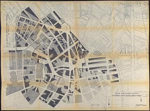
Government Center redevelopment project : land use map
75.
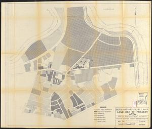
North Harvard project area : land use of project area
76.
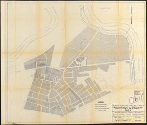
North Harvard project area : conditions in project area
77.
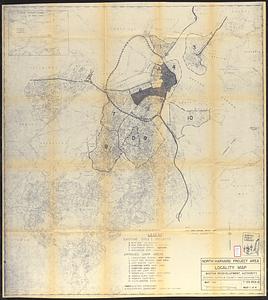
North Harvard project area : locality map
78.
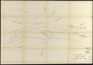
Tremont St. subway Boston, Mass. Haymarket Sq. Station
79.
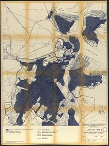
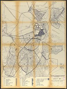
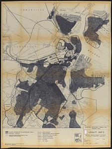
Central business district project no Mass r- : locality map 2
80.
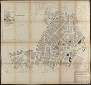
Central business district project no Mass r- : existing land use
81.
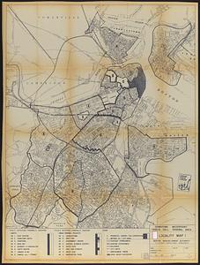
Central business district project no Mass r- : locality map 1
82.
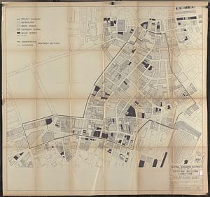
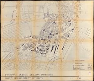
Central business district project no Mass r- : existing building condition
83.
Charlestown urban renewal area, Massachusetts R-55 : illustrative site plan
84.
City of Boston topographic and planimetric survey
85.
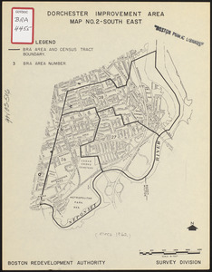
Dorchester improvement area, map no. 2 - south east
86.
Downtown existing buildings conditions
87.
Downtown Waterfront Faneuil Hall renewal area : locality map 1
88.
Downtown Waterfront-Faneuil Hall renewal area : locality map 2
89.
Locality map
90.
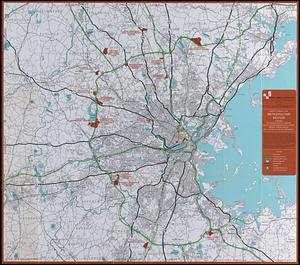
Progress in greater Boston : recent and proposed construction of buildings, highways and rapid transit
91.
South Cove project no. Mass r- : existing land use
92.
South Cove project no. Mass. r- : existing building condition
93.
South End project no. Mass. r-56 : building deficiencies
94.
South End project no. Mass. r-56 : existing land use
95.
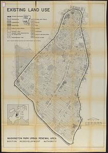
Washington Park urban renewal area : existing land use
96.
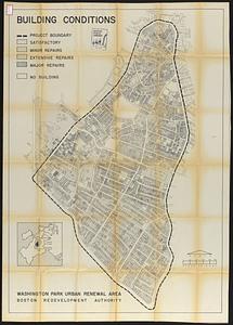
Washington Park urban renewal area : building conditions
97.
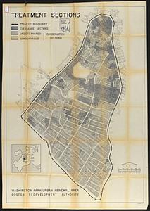
Washington Park urban renewal area : treatment sections
98.
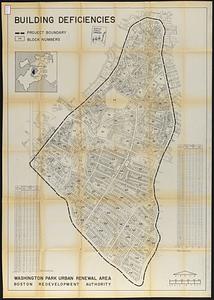
Washington Park urban renewal area : building deficiencies
99.
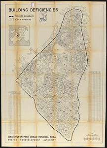
Washington Park urban renewal area : building deficiencies
100.
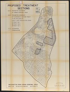
Washington Park urban renewal area : proposed treatment sections
« Previous
Next »
1
2
3
4
5
6