Toggle navigation
LMEC Home
Exhibitions
Georeferencing
Tools for Teachers
Collections
My Favorites
Sign Up / Log In
Search
Search the map portal
Map Collection
Map Collection
Map Sets
Search
Search
Search for
Search In
All Fields
Creator
Title
Subject
Place
Search All Digital Collections
Advanced Search
260 Results
My Search
Start Over
More Like
commonwealth:p8418t77r
Remove constraint More Like: commonwealth:p8418t77r
Filter your Search
Place
North America
167
United States
82
North and Central America
79
Canada
24
Mexico
12
New York
11
West Indies
10
South America
8
more
Place
»
Topic
North America--Maps--Early works to 1800
180
United States--Maps--Early works to 1800
60
Canada--Maps--Early works to 1800
17
Great Britain--Colonies--America--Maps--Early works to 1800
17
Mexico--Maps--Early works to 1800
12
British--America--Maps--Early works to 1800
10
United States--History--Revolution, 1775-1783--Maps--Early works to 1800
10
West Indies--Maps--Early works to 1800
10
more
Topic
»
Date
Date range begin
–
Date range end
Current results range from
1528
to
1850
View distribution
Creator
Mitchell, John, 1711-1768
14
Jefferys, Thomas, -1771
13
Moll, Herman, d. 1732
12
Sayer, Robert, 1725-1794
12
Anville, Jean Baptiste Bourguignon d', 1697-1782
8
Faden, William, 1749-1836
7
Kitchin, Thomas, 1718-1784
7
L'Isle, Guillaume de, 1675-1726
6
more
Creator
»
Format
Maps/Atlases
260
Manuscripts
11
Georeferenced
Yes
9
No
251
Collection
American Revolutionary War-Era Maps
177
Norman B. Leventhal Map Center Collection
146
New York Public Library Collection
45
Richard H. Brown Revolutionary War Map Collection at Mount Vernon
26
New-York Historical Society Collection
24
Mapping Boston Collection
11
Sidney R. Knafel Map Collection at Phillips Academy
9
Boston Athenaeum, Cartographic Collection
3
more
Collection
»
Available to use
No known restrictions
159
Creative Commons license
88
Search Constraints
Sort by relevance
relevance
title
date (asc)
date (desc)
Number of results to display per page
50 per page
10
per page
20
per page
50
per page
100
per page
View results as:
grid view
map view
Search Results
1.
A map of the British and French dominions in North America : with the roads, distances, limits, and extent of the settlements,...
2.
Carte du Mexique et des Etats Unis d'Amérique, partie meridionale
3.
L'Amerique Septentrionale, ou se remarquent les Etats Unis
4.
BOWLES'S NEW POCKET MAP OF THE UNITED STATES OF AMERICA : WITH THE BRITISH POSSESSIONS OF CANADA, NOVA SCOTIA, AND OF...
5.
British dominions in America, drawn from the latest and best authorities
6.
Carte d'une partie de l'Amérique Septentrionale pour servir à l'intelligence du mémoire sur les prétentions des Anglois au...
7.
Carte nouvelle de l'Amérique Angloise contenant tout ce que les Anglois possédent sur le continent de l'Amérique...
8.
A map of the northern and middle states : comprehending the western territory & the British dominions in North America : from...
9.
A new and correct map of North America with the West India Islands : divided according to the last treaty of peace, concluded...
10.
A new map of North America
11.
A New map of North America with the West India Islands : divided according to the preliminary articles of peace, signed at...
12.
A new map of the United States of North America with the British dominions on that continent &c
13.
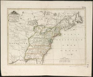
A general map of the middle British colonies, in America : viz Virginia, Màriland, Dèlaware, Pensilvania, New-Jersey, New-York,...
14.
The United States of America laid down from the best authorities, agreeable to the Peace of 1783
15.
A new and accurate map of the English empire in North America : representing their rightful claim as confirm'd by charters, and...
16.
Carta particolare della parte ocidentale della nuova Spagnia, è del la California
17.
Carte des isles Antilles et du Golfe du Mexique : avec la majeure partie de la nouvelle Espagne
18.
La Florida
19.
Hispaniae novae nova descriptio
20.
Hispaniae novae sivae magnae, recens et vera desciptio : 1579
21.
A map of the West-Indies &c. Mexico or New Spain : also ye trade winds, and ye several tracts made by ye galeons and flota from...
22.
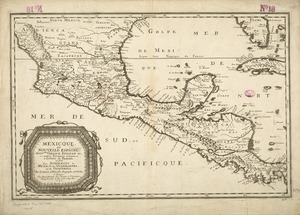
[Mexico and Central America]
23.
Mexicque, ou Nouvelle Espagne, Nouvlle. Gallice, Iucatan &c : et autres provinces jusques a l'Isthme de Panama, ou sont les...
24.
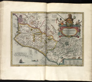
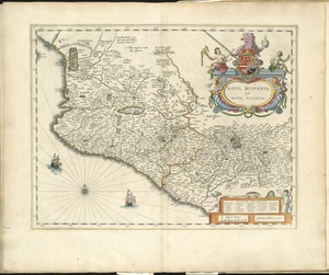
Nova Hispania, et Nova Galicia
25.
Nova Hispania et Nova Galicia
26.
The West Indies exhibiting the English, French, Spanish, Dutch & Danish settlements
27.
An accurate map of the English colonies in North America, bordering on the river Ohio
28.
An accurate map of the United States of America : according to the Treaty of Peace of 1783
29.
An accurate map of the United States of America, with part of the surrounding provinces agreeable to the Treaty of Peace of 1783
30.
Amplissimae regionis Mississipi seu provinciae Ludovicianae â R.P. Ludovico Hennepin Francisc. Miss. in America septentrionali...
31.
Amplissimae regionis Mississipi seu Provinciae Ludovicianae â R.P. Ludovico Hennepin Francisc Miss in America Septentrionali...
32.
Bowles's new one-sheet map of the independent states of Virginia, Maryland, Delaware, Pensylvania, New Jersey, New York,...
33.
Carta della Nuova Inghilterra, Nuova Iork, e Pensilvania
34.
Carte de la Louisiane cours du Mississipi et pais voisins : dediée à M. le Comte de Maurepas, ministre et secretaire d'etat...
35.
Carte de la Louisiane et du cours de Mississipi
36.
Carte de la Louisiane et du cours du Mississipi avec les colonies anglaises
37.
Carte du Canada et des Etats-Unis de l'Amérique Septentrionale
38.
Carte du theatre de la guerre presente en Amerique
39.
Carte du theatre de la guerre presente en Amerique
40.
Carte generale des colonies angloises dans l'Amerique Septentrionale pour l'intelligence de la guerre presente : d'apres des...
41.
Carte générale des Etats Unis de l'Amérique Septentrionale : renfermant aussi quelques provinces Angloises adjacentes
42.
Carte génerale des Etats-Unis de l'Amérique Septentrionale : divisée en ses 17 provinces
43.
Carte generale des treize Etats Unis, de l'Amerique septentrionale
44.
Carte generale des treize Etats Unis, de l'Amerique septentrionale = Kaart van de dertien Verénigde Staaten, in Noord Amerika
45.
Carte minéralogique, où l'on voit la nature des terreins du Canada et de la Louisiane
46.
Carte réduite du nord des Etat-Unis avec l'intérieur du pays : pour servir à l'intelligence de cette histoire ; copieé par...
47.
Charte über die XIII Vereinigte Staaten von Nord-America
48.
A general map of the middle British colonies, in America : viz Virginia, Màriland, Dèlaware, Pensilvania, New-Jersey,...
49.
Map for the interior travels through America : delineating the march of the army
50.
A map of Canada and the north part of Louisiana with the adjacent countrys
‹ Prev
Next ›
1
2
3
4
5
6


![[Mexico and Central America]](https://bpldcassets.blob.core.windows.net/derivatives/images/commonwealth:cj82m4685/image_thumbnail_300.jpg)