Toggle navigation
LMEC Home
Collections
My Favorites
Exhibitions
Georeferencing
Tools for Teachers
Sign Up / Log In
Search
Search the map portal
Search
Search
Search for
Search in
All Fields
Title
Subject
Place
Creator
Search All Digital Collections
Advanced Search
182 Results
Search Constraints
My Search
Start Over
More like
commonwealth:n5843672c
Remove constraint More like: commonwealth:n5843672c
Filter your Search
Show filters
Hide filters
Place
North and Central America
169
United States
166
Massachusetts
133
Essex (county)
21
Middlesex (county)
18
Beverly
14
Bristol (county)
9
Suffolk (county)
9
more
Place
»
Topic
Massachusetts--Maps
22
Beverly (Mass.)--Maps
16
Landowners--Massachusetts--Beverly--Maps
6
Real property--Massachusetts--Beverly--Maps
6
Dedham (Mass.)--Maps
5
Maine--Maps
5
Merrimack River Watershed (N.H. and Mass.)--Maps
5
Newton (Mass.)--Maps
5
more
Topic
»
Creator
Applied Geographics, Inc.
67
MassGIS (Office : Mass.)
58
Massachusetts. Executive Office of Environmental Affairs
33
Geological Survey (U.S.)
15
Massachusetts Coastal Zone Management Office
9
Massachusetts Bays Program
8
National Ocean Survey
7
Geo. H. Walker & Co.
6
more
Creator
»
Format
Maps/Atlases
181
Books
2
Ephemera
1
Manuscripts
1
Georeferenced
Yes
9
No
173
Collection
Norman B. Leventhal Map & Education Center Collection
177
Applied Geographics, Inc. Records
166
Boston and New England Maps
139
Urban Maps
33
Maritime Charts and Atlases
19
Massachusetts Real Estate Atlases
5
David Judkins Weaver Papers
1
Available to use
No known restrictions
177
Sort
by title
relevance
title
date (asc)
date (desc)
recently added
Number of results to display per page
100
per page
per page
10
per page
20
per page
50
per page
100
per page
Search Results
1.
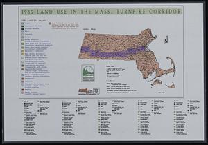
1985 land use in the Mass. Turnpike corridor
2.
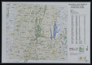
Agriculture and wellhead protection in the Connecticut Valley
3.
Albany
4.
Los Angeles
5.
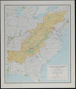
Appalachian region, as designated by the Appalachian Regional Commission 1967
6.
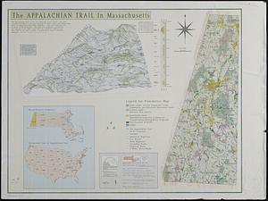
The Appalachian trail in Massachusetts
7.
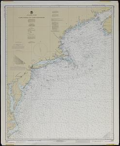
Atlantic coast, Cape Sable to Cape Hatteras
8.
Atlas of Essex County, Massachusetts
9.
Atlas of Massachusetts
10.
Atlas of the city of Beverly, Essex County, Massachusetts
11.
Atlas of the city of Beverly, Essex County, Massachusetts
12.
Atlas of the city of Beverly, Essex County, Massachusetts
13.
Atlas of the city of Beverly, Essex County, Massachusetts
14.
Atlas of the North Shore, Beverly to Magnolia, Essex Co., Massachusetts
15.
Atlas of the town of Beverly, Massachusetts : from official records, private plans and actual surveys
16.
Atlas of the town of Beverly, Massachusetts
17.
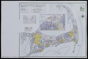
Barnstable County 1990 census tracts
18.
Bathymetric fishing map
19.
Beaufort quadrangle, South Carolina-Georgia : 1:100 000-scale series (topographic-bathymetric)
20.
Boston
21.
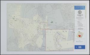
Boxborough, Middlesex County, Mass map 06
22.
Buffers of schools, parks, places of worship and residential areas
23.
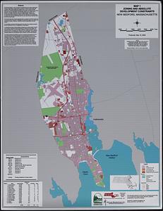
[Buildout analysis] New Bedford, Massachusetts
24.
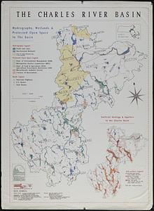
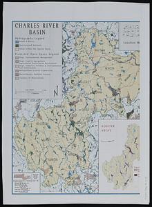
The Charles River basin : hydrography, wetlands & protected open space in the basin
25.
The Charles River basin
26.
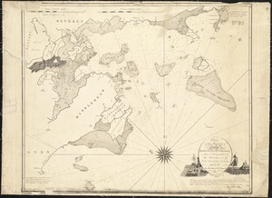
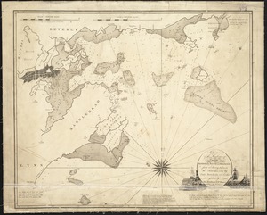
Chart of the harbours of Salem, Marblehead, Beverly, and Manchester : from a survey taken in the years 1804, 5 & 6
27.
Chart of the harbours of Salem, Marblehead, Beverly and Manchester : from a survey taken in the years 1804, 5 & 6
28.
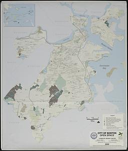
City of Boston open space
29.
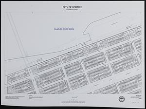
City of Boston planimetric survey sheet no. 23I
30.
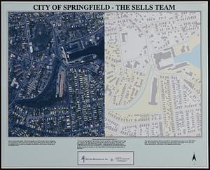
City of Springfield
31.
City of Waltham, Massachusetts [assessors atlas]
32.
Columbus, Ohio : 1:250,000 series (clinometric)
33.
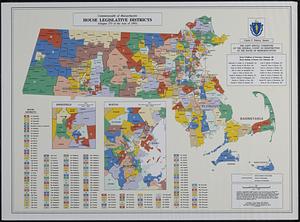
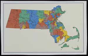
Commonwealth of Massachusetts House legislative districts : (Chapter 273 of the Acts of 1993)
34.
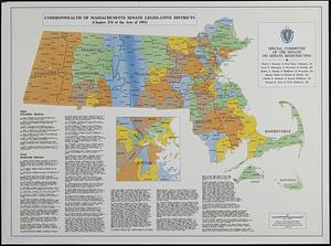
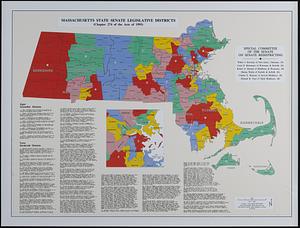
Commonwealth of Massachusetts Senate legislative districts : (Chapter 274 of the Acts of 1993)
35.
Cromeset Neck
36.
Dallas sectional aeronautical chart
37.
DEP water supply contamination correction program underground storage tank locations compared to natural resource data
38.
Developable lands and partial constraints : town of Taunton
39.
DFWELE land showing 1985-1990 acquisitions
40.
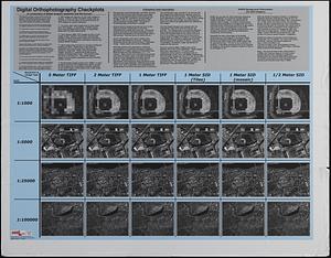
Digital orthography checkplots : a comparison of digital imagery resolution and file format
41.
Dorchester Bay
42.
Draft of a map of 1993 Massachusetts Senate legislative districts
43.
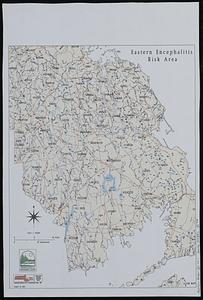
Eastern encephalitis risk area
44.
Eastern Massachusetts hurricane evacuation study : hurricane surge inundation mapping
45.
Eastport
46.
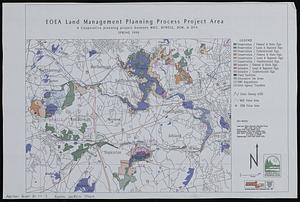
EOEA land management planning process project area : a cooperative planning project between MDC, DFWELE, DEM, & DFA
47.
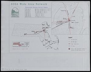
EOEA wide area network
48.
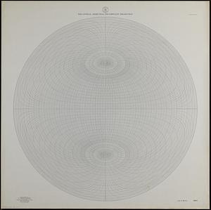
Equatorial azimuthal equidistant projection
49.
Everett 1985 land use
50.
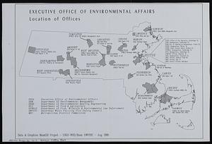
Executive Office of Environmental Affairs location of offices
51.
Facsimile general highway map urban area series Peabody
52.
Fort Devens military base closure hazardous material remediation project
53.
Geologic map of Mars
54.
GIS component of a facility site master file : waste site' and public supply well facility locations compared to protected...
55.
GIS mapping of risk factors for eastern equine encephalitis
56.
Hingham/Hull Massachusetts : Massachusetts CZM shoreline change analysis project
57.
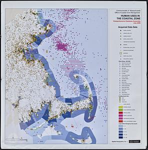
Human uses in the coastal zone : comprehensive database assembly July 2006
58.
Index to 1:24,000-scale digital line graph (DLG) and digital elevation model (DEM) data
59.
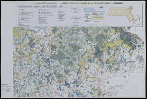
Ipswich basin landuse and protected lands
60.
Land use, land cover, and elevation of Gloucester and Rockport, Massachusetts
61.
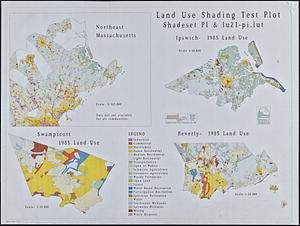
Land use shading test plot shadeset PI and lu21-pi.lut
62.
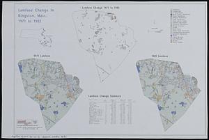
Landuse change in Kingston, Mass. 1971-1985
63.
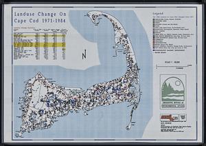
Landuse change on Cape Cod 1971-1984
64.
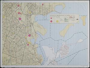
Location of manufacturers in Boston sheet 4 or 6
65.
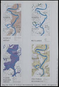
Map for area of critical environmental concern (ACEC) designation
66.
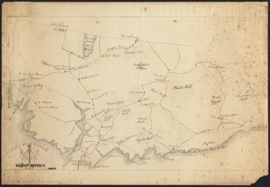
Map of Beverly
67.
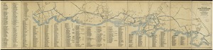
Map of the Beverly and Manchester shore Massachusetts
68.
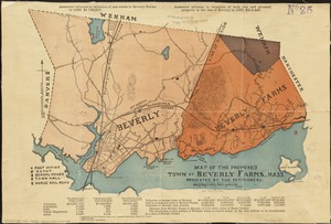
Map of the proposed town of Beverly Farms, Mass : presented by the Petitioners
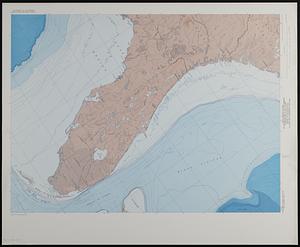
69.
Map showing relation of land and submarine topography, Nova Scotia to Florida
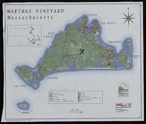
70.
Marthas Vineyard, Massachusetts : landuse in 1985
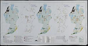
71.
Mashpee land use change 1971-1990
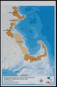
72.
Massachusetts Bays Program community resource atlas
73.
Massachusetts coastal towns
74.
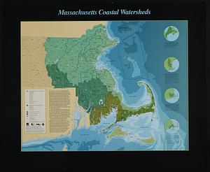
Massachusetts coastal watersheds
75.
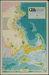
Massachusetts coastal zone management
76.
Massachusetts CZM shoreline change analysis project
77.
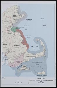
Massachusetts navigation and dredging management study
78.
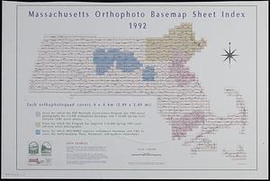
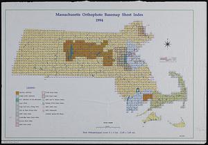
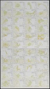
Massachusetts orthophoto basemap sheet index
79.
Massachusetts orthophoto basemap sheet index
80.
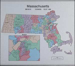
Massachusetts SB1815
81.
Massachusetts state Senate legislative districts : (Chapter 274 of the Acts of 1993)
82.
Massachusetts watersheds land use
83.
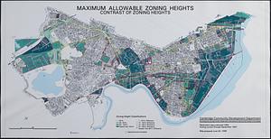
Maximum allowable zoning heights : contrast of zoning heights
84.
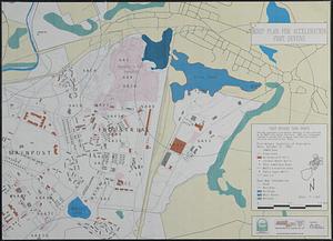
MDEP plan for acceleration Fort Devens
85.
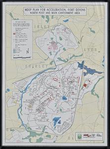
MDEP plan for acceleration, Fort Devens, north post and main cantonment area
86.
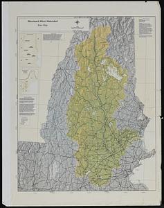
Merrimack River watershed : subwatershed base map upper Merrimack basin
87.
Merrimack River watershed : groups active in the watershed
88.
Merrimack River watershed atlas
89.
Merrimack River watershed [sheets]
90.
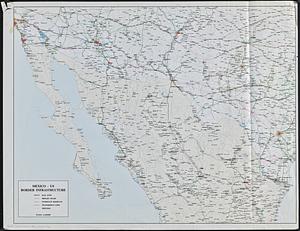
Mexico - US border infrastructure
91.
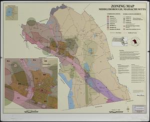
Middleborough, Massachusetts, zoning map
92.
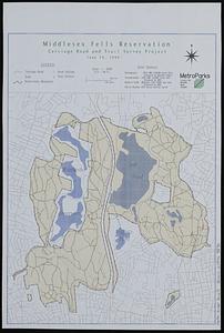
Middlesex Fells Reservation : carriage road and trail survey project
93.
MWRA distribution facilities system
94.
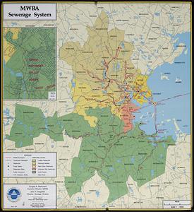
MWRA sewerage system
95.
MWRA water distribution system
96.
Nantucket coastal high hazard area mapping project
97.
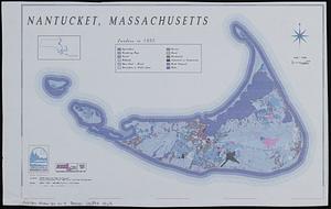
Nantucket, Massachusetts : landuse in 1985
98.
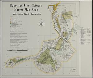
Neponset River estuary master plan area
99.
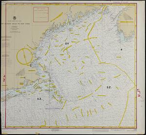
New England fishery management region
100.
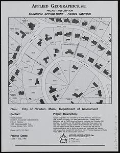
Newton, Mass. parcel mapping project
« Previous
Next »
1
2