Toggle navigation
LMEC Home
Exhibitions
Georeferencing
Tools for Teachers
Collections
My Favorites
Sign Up / Log In
Search
Search the map portal
Map Collection
Map Collection
Map Sets
Search
Search
Search for
Search In
All Fields
Creator
Title
Subject
Place
Search All Digital Collections
Advanced Search
8176 Results
My Search
Start Over
More Like
commonwealth:kk91fq60v
Remove constraint More Like: commonwealth:kk91fq60v
Date facet yearly ssim
1800
to
1849
Remove constraint Date facet yearly ssim: <span class='from'>1800</span> to <span class='to'>1849</span>
Filter your Search
Place
North and Central America
4,921
United States
3,605
Suffolk (county)
1,026
Boston
999
Europe
963
Canada
429
France
269
Massachusetts
249
more
Place
»
Topic
Boston (Mass.)--Maps
574
United States--Maps
270
Real property--Massachusetts--Boston--Maps
174
Massachusetts--Maps
160
Landowners--Massachusetts--Boston--Maps
132
North America--Maps--Early works to 1800
103
New England--Maps
99
Europe--Maps
78
more
Topic
»
Date
Date range begin
–
Date range end
Current results range from
1482
to
2023
View distribution
Creator
United States. Hydrographic Office
357
O.H. Bailey & Co
148
Des Barres, Joseph F. W. (Joseph Frederick Wallet), 1722-1824
124
United States. Post Office Dept
120
Ptolemy, 2nd cent
100
Walling, Henry Francis, 1825-1888
94
Jefferys, Thomas, -1771
85
Geological Survey (U.S.)
82
more
Creator
»
Format
Maps/Atlases
8,117
Manuscripts
215
Prints
51
Books
36
Objects/Artifacts
10
Drawings/Illustrations
8
Posters
4
Georeferenced
Yes
869
No
7,307
Collection
Norman B. Leventhal Map Center Collection
8,168
Boston and New England Maps
2,185
Urban Maps
1,925
Maritime Charts and Atlases
754
American Revolutionary War-Era Maps
624
Boston Redevelopment Authority Collection
86
Mapping Boston Collection
6
Richard H. Brown Revolutionary War Map Collection at Mount Vernon
5
more
Collection
»
Available to use
No known restrictions
8,021
Creative Commons license
58
Search Constraints
Sort by date (desc)
relevance
title
date (asc)
date (desc)
Number of results to display per page
20 per page
10
per page
20
per page
50
per page
100
per page
View results as:
grid view
map view
Search Results
861.
Map of Manitoba, Saskatchewan and Alberta : showing the number of quarter sections available for homestead entry in each township
862.
Map of Newton Mass
863.
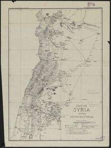
Map of Syria in the IV-V-VI centuries
864.
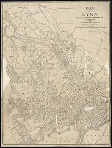
Map of the city of Lynn
865.
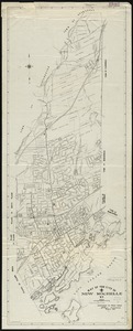
Map of the City of New Rochelle, N.Y
866.
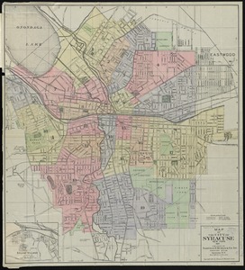
Map of the City of Syracuse, New York
867.
Map of the Dominion of Canada : indicating natural resources, transportation and trade routes
868.
Map of the Oranges, and Irvington, New Jersey
869.
Mapa ecológico de Venezuela que demuestra las zonas naturales, los cultivos, las vías de comunicación y los principales...
870.
New correct map of the flat surface, stationary earth
871.
New map of Nashville, Tennessee
872.
Nicaragua
873.
Oil and gas fields of the state of Kansas
874.
Philips' new commercial map of Europe
875.
Poland
876.
Political map of Europe
877.
The Price & Lee Co's map of the City of Newark, N.J. including Irvington
878.
The Price & Lee Co's new map of Caldwell, Verona, Essex Fells, Cedar Grove, Essex County, New Jersey
879.
The Price & Lee Co's new map of Montclair, Glen Ridge and Bloomfield, New Jersey
880.
The Price & Lee Co's new map of the city of Paterson, Haledon and borough of Prospect Park
‹ Prev
Next ›
1
2
…
40
41
42
43
44
45
46
47
48
…
408
409