Toggle navigation
LMEC Home
Exhibitions
Georeferencing
Tools for Teachers
Collections
My Favorites
Sign Up / Log In
Search
Search the map portal
Map Collection
Map Collection
Map Sets
Search
Search
Search for
Search In
All Fields
Creator
Title
Subject
Place
Search All Digital Collections
Advanced Search
8195 Results
My Search
Start Over
More Like
commonwealth:js956m38f
Remove constraint More Like: commonwealth:js956m38f
Filter your Search
Place
North and Central America
4,912
United States
3,602
Suffolk (county)
1,026
Boston
999
Europe
964
Canada
427
France
269
Massachusetts
249
more
Place
»
Topic
Boston (Mass.)--Maps
574
United States--Maps
270
Real property--Massachusetts--Boston--Maps
174
Massachusetts--Maps
160
Landowners--Massachusetts--Boston--Maps
132
North America--Maps--Early works to 1800
103
New England--Maps
99
Europe--Maps
79
more
Topic
»
Date
Date range begin
–
Date range end
Current results range from
1482
to
2023
View distribution
Creator
United States. Hydrographic Office
357
O.H. Bailey & Co
148
Des Barres, Joseph F. W. (Joseph Frederick Wallet), 1722-1824
123
United States. Post Office Dept
120
Ptolemy, 2nd cent
100
Walling, Henry Francis, 1825-1888
94
Jefferys, Thomas, -1771
84
Geological Survey (U.S.)
82
more
Creator
»
Format
Maps/Atlases
8,136
Manuscripts
215
Prints
51
Books
36
Objects/Artifacts
10
Drawings/Illustrations
8
Posters
4
Georeferenced
Yes
869
No
7,326
Collection
Norman B. Leventhal Map Center Collection
8,182
Boston and New England Maps
2,184
Urban Maps
1,925
Maritime Charts and Atlases
750
American Revolutionary War-Era Maps
616
Boston Redevelopment Authority Collection
86
Mapping Boston Collection
19
Sidney R. Knafel Map Collection at Phillips Academy
13
Available to use
No known restrictions
8,022
Creative Commons license
65
Search Constraints
Sort by date (asc)
relevance
title
date (asc)
date (desc)
Number of results to display per page
20 per page
10
per page
20
per page
50
per page
100
per page
View results as:
grid view
map view
Search Results
7281.
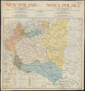
New Poland = Nowa Polska
7282.
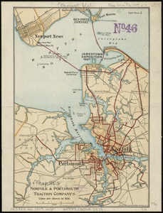
Norfolk & Portsmouth Traction Company's lines are shown in red
7283.
Northern Alberta : map showing disposition of lands
7284.
Official map of American and Canadian airways and aerial mail routes
7285.
The official map of the world : showing the four quarters of the globe on the quarter-spherical or orange peel projection
7286.
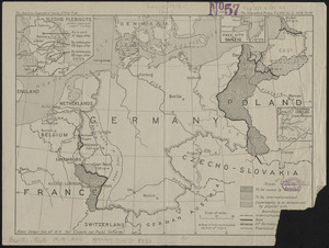
Post-World War I Germany
7287.
Progress of construction, government railroad, Alaska
7288.
The races of Europe
7289.
The Rand McNally new commercial atlas map of North Carolina
7290.
State of Illinois coal fields and producing districts
7291.
State of Indiana coal fields and producing districts
7292.
State of Kentucky coal fields and producing districts
7293.
State of Ohio coal fields and producing districts
7294.
State of Tennessee coal fields and producing districts
7295.
State of Virginia coal fields and producing districts, September 1919
7296.
State of West Virginia and part of Maryland : coal fields and producing districts
7297.
The Times-Picayune's map of New Orleans
7298.
Topographic map of McDonough County, Illinois
7299.
Topographic map of Randolph County, Illinois
7300.
L'unité des pays Tchèques au point de vue économique : I. Influence sur la population de la Boheme du district des mines de...
‹ Prev
Next ›
1
2
…
361
362
363
364
365
366
367
368
369
…
409
410