Toggle navigation
LMEC Home
Exhibitions
Georeferencing
Tools for Teachers
Collections
My Favorites
Sign Up / Log In
Search
Search the map portal
Map Collection
Map Collection
Map Sets
Search
Search
Search for
Search In
All Fields
Creator
Title
Subject
Place
Search All Digital Collections
Advanced Search
168 Results
My Search
Start Over
More Like
commonwealth:j38608312
Remove constraint More Like: commonwealth:j38608312
Filter your Search
Place
North and Central America
97
North America
62
South America
59
Mesoamerica
56
America
51
New England
20
United States
17
Massachusetts
16
more
Place
»
Topic
America--Maps--Early works to 1800
72
Western Hemisphere--Maps--Early works to 1800
50
New England--Maps--Early works to 1800
15
World maps--Early works to 1800
15
North America--Maps--Early works to 1800
12
Asia--Maps--Early works to 1800
11
Massachusetts--Maps
8
Connecticut--Maps--Early works to 1800
5
more
Topic
»
Date
Date range begin
–
Date range end
Current results range from
1482
to
1990
View distribution
Creator
Ortelius, Abraham, 1527-1598
9
Blaeu, Willem Janszoon, 1571-1638
4
Speed, John, 1552?-1629
4
Wit, Frederik de.
4
Allard, Huych, 1625-1691
3
Bew, John, -1793
3
Bordon, Benedetto, 1450-1530
3
Danckerts, Justus, 1635-1701
3
more
Creator
»
Format
Maps/Atlases
168
Books
1
Georeferenced
Yes
13
No
155
Collection
Sidney R. Knafel Map Collection at Phillips Academy
87
Norman B. Leventhal Map Center Collection
75
American Revolutionary War-Era Maps
35
New York Public Library Collection
4
Mapping Boston Collection
3
Maritime Charts and Atlases
2
Richard H. Brown Revolutionary War Map Collection at Mount Vernon
2
Available to use
No known restrictions
72
Creative Commons license
9
Search Constraints
Sort by relevance
relevance
title
date (asc)
date (desc)
Number of results to display per page
20 per page
10
per page
20
per page
50
per page
100
per page
View results as:
grid view
map view
Search Results
1.
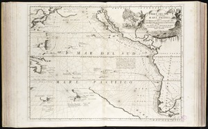
Maris Pacifici (quod vulgo Mar del Zur) cum regionibus circumiacentibus, insulisque in eodem passim sparsis, novissima descriptio
2.
Quarte partie du monde
3.
America
4.
America sive India Nova : ad magnae Gerardi Mercatoris aui universalis imitationem in compendium redacta
5.
Americae siue noui orbis, noua descriptio
6.
Novae insulae XVII, nova tabula
7.
Oceani occidetalis seu terre nove tabula
8.
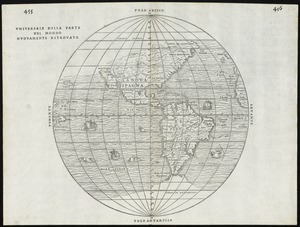
Tipus orbis uniuersalis iuxta Ptolomei cosmographi traditionem et Americi Vespucii alior[um]que
9.
Universale della parte del mondo nuovamente ritrovata
10.
[Polus Antarcticus] : Terra Australis Incognita
11.
Pascaarte vande zee custen van Guinea, en Brasilia : van Cabo de Verde, tot C. de bona Esperanc̨a : van R. de Amazones tot Rio...
12.
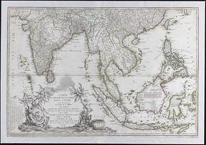
Carte du theatre de la guerre dans l'Inde ou se trouve une partie de la Chine; les isles Sumatra, Java, Borneo, Moluques et...
13.
Second part of Asia : being China, part of India and Tartary, the islands of Sonda, Molucka, Philippin, Japan &c. ; performed...
14.
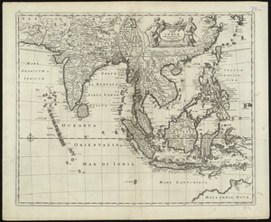
Tabula Indiae orientalis
15.
Carte de la Mer du Sud et des costes d'Amerique et d'Asie situées sur cette mer : Carte de la Mer du Nord et des costes...
16.
Mare del Svd, detto altrimenti Mare Pacifico
17.
Asia : with the islands adioyning described, the atire of the people, & townes of importance, all of them newly augmented
18.
Asia noviter delineata
19.
Asia noviter delineata
20.
Asia recens summa cura delineata
‹ Prev
Next ›
1
2
3
4
5
…
8
9


![Tipus orbis uniuersalis iuxta Ptolomei cosmographi traditionem et Americi Vespucii alior[um]que](https://bpldcassets.blob.core.windows.net/derivatives/images/commonwealth:j3860806q/image_thumbnail_300.jpg)
![[Polus Antarcticus]](https://bpldcassets.blob.core.windows.net/derivatives/images/commonwealth:7h14b184w/image_thumbnail_300.jpg)